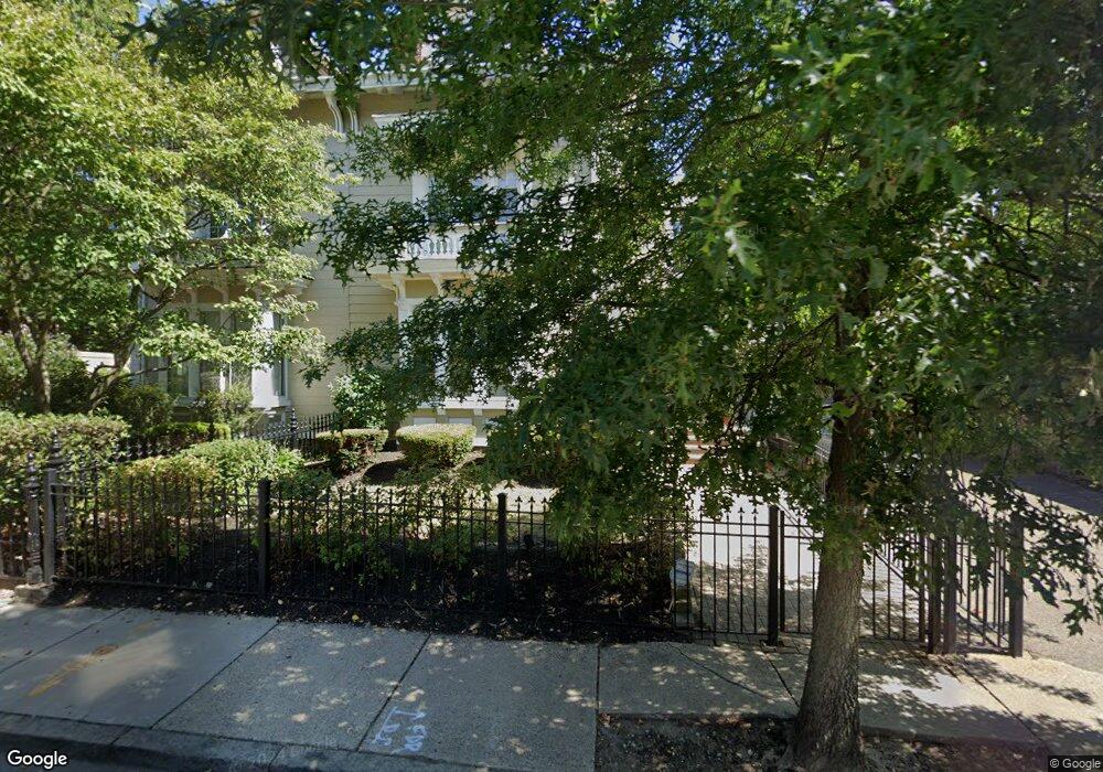
62 Winthrop St Unit 1 Roxbury, MA 02119
Sav-Mor NeighborhoodEstimated Value: $608,000 - $710,970
3
Beds
3
Baths
1,856
Sq Ft
$348/Sq Ft
Est. Value
About This Home
This home is located at 62 Winthrop St Unit 1, Roxbury, MA 02119 and is currently estimated at $644,993, approximately $347 per square foot. 62 Winthrop St Unit 1 is a home located in Suffolk County with nearby schools including Dudley Street Neighborhood Charter School and City on a Hill Charter Public School.
Ownership History
Date
Name
Owned For
Owner Type
Purchase Details
Closed on
Mar 21, 2014
Sold by
Cox Michael A and Cox Kimberly A
Bought by
Gaither Sandra and Gaither Edmung B
Current Estimated Value
Home Financials for this Owner
Home Financials are based on the most recent Mortgage that was taken out on this home.
Original Mortgage
$100,000
Outstanding Balance
$75,537
Interest Rate
4.25%
Mortgage Type
New Conventional
Estimated Equity
$569,456
Create a Home Valuation Report for This Property
The Home Valuation Report is an in-depth analysis detailing your home's value as well as a comparison with similar homes in the area
Home Values in the Area
Average Home Value in this Area
Purchase History
| Date | Buyer | Sale Price | Title Company |
|---|---|---|---|
| Gaither Sandra | $299,000 | -- |
Source: Public Records
Mortgage History
| Date | Status | Borrower | Loan Amount |
|---|---|---|---|
| Open | Gaither Sandra | $100,000 |
Source: Public Records
Tax History Compared to Growth
Tax History
| Year | Tax Paid | Tax Assessment Tax Assessment Total Assessment is a certain percentage of the fair market value that is determined by local assessors to be the total taxable value of land and additions on the property. | Land | Improvement |
|---|---|---|---|---|
| 2025 | $6,711 | $579,500 | $0 | $579,500 |
| 2024 | $5,929 | $543,900 | $0 | $543,900 |
| 2023 | $5,616 | $522,900 | $0 | $522,900 |
| 2022 | $5,418 | $498,000 | $0 | $498,000 |
| 2021 | $5,209 | $488,200 | $0 | $488,200 |
| 2020 | $4,262 | $403,600 | $0 | $403,600 |
| 2019 | $3,867 | $366,900 | $0 | $366,900 |
| 2018 | $3,494 | $333,400 | $0 | $333,400 |
| 2017 | $3,300 | $311,600 | $0 | $311,600 |
| 2016 | $3,203 | $291,200 | $0 | $291,200 |
| 2015 | $2,825 | $233,300 | $0 | $233,300 |
| 2014 | $2,769 | $220,100 | $0 | $220,100 |
Source: Public Records
Map
Nearby Homes
- 101 Mount Pleasant Ave
- 108 Mount Pleasant Ave Unit 108R
- 33 Copeland Park Unit C
- 20 Rockville Park
- 22 Rockville Park
- 7 Langford Park Unit 3
- 30 Copeland St Unit 1
- 80 Blue Hill Ave Unit 5
- 2 Mount Pleasant Place Unit 2
- 59 Perrin St
- 59 Perrin St Unit 1
- 45 Woodville St
- 22 Alaska St
- 24 Clarence St Unit 24R
- 119 Blue Hill Ave
- 250 Dudley St Unit 1
- 31 Alaska St
- 10 Rockland St Unit 4
- 133 Blue Hill Ave
- 91 Zeigler St
- 62 Winthrop St Unit 2
- 62 Winthrop St Unit 1
- 60 Winthrop St
- 15 Fairland St
- 13 Fairland St
- 21 Fairland St
- 19 Fairland St
- 9 Fairland St Unit 3
- 9 Fairland St Unit 2
- 9 Fairland St Unit 1
- 9 Fairland St Unit C
- 9 Fairland St Unit B
- 9B Fairland St Unit B
- 67 Whiting St
- 67 Whiting St Unit 1
- 65 Winthrop St
- 67 Winthrop St
- 85 Mount Pleasant Ave
- 69 Winthrop St
- 18 Fairland St