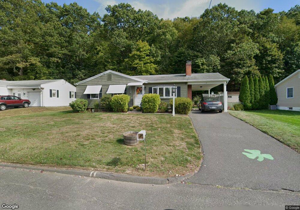
62 Woodland St Holyoke, MA 01040
Estimated Value: $316,783 - $331,000
3
Beds
1
Bath
1,560
Sq Ft
$207/Sq Ft
Est. Value
About This Home
This home is located at 62 Woodland St, Holyoke, MA 01040 and is currently estimated at $323,446, approximately $207 per square foot. 62 Woodland St is a home located in Hampden County with nearby schools including Butterfield Elementary School, Maurice A. Donahue Elementary School, and Holyoke High School.
Ownership History
Date
Name
Owned For
Owner Type
Purchase Details
Closed on
Jan 24, 1964
Bought by
Moriarty Robert W and Morarty Janet M
Current Estimated Value
Create a Home Valuation Report for This Property
The Home Valuation Report is an in-depth analysis detailing your home's value as well as a comparison with similar homes in the area
Home Values in the Area
Average Home Value in this Area
Purchase History
| Date | Buyer | Sale Price | Title Company |
|---|---|---|---|
| Moriarty Robert W | -- | -- |
Source: Public Records
Mortgage History
| Date | Status | Borrower | Loan Amount |
|---|---|---|---|
| Open | Moriarty Robert W | $270,000 | |
| Closed | Moriarty Robert W | $12,000 | |
| Closed | Moriarty Robert W | $43,000 | |
| Closed | Moriarty Robert W | $45,000 |
Source: Public Records
Tax History Compared to Growth
Tax History
| Year | Tax Paid | Tax Assessment Tax Assessment Total Assessment is a certain percentage of the fair market value that is determined by local assessors to be the total taxable value of land and additions on the property. | Land | Improvement |
|---|---|---|---|---|
| 2025 | $4,517 | $258,700 | $62,700 | $196,000 |
| 2024 | $4,258 | $224,700 | $59,800 | $164,900 |
| 2023 | $4,078 | $217,400 | $59,800 | $157,600 |
| 2022 | $3,952 | $205,200 | $59,800 | $145,400 |
| 2021 | $3,758 | $195,000 | $57,200 | $137,800 |
| 2020 | $3,524 | $184,700 | $57,200 | $127,500 |
| 2019 | $3,439 | $178,300 | $57,200 | $121,100 |
| 2018 | $3,311 | $172,000 | $57,200 | $114,800 |
| 2017 | $3,297 | $172,000 | $57,200 | $114,800 |
| 2016 | $3,264 | $170,700 | $59,000 | $111,700 |
| 2015 | $3,250 | $170,700 | $59,000 | $111,700 |
Source: Public Records
Map
Nearby Homes
- 84 Woodland St
- 70-72 Westfield Rd
- 43 King St
- 13 Willow St
- 133-135 Brown Ave
- 9 Prew Ave Unit 4A
- 42 Arnodale Ave
- 12 Temple St
- 934 Main St
- 5 Vernon St
- 958 Main St
- 46 Cherry Hill
- 78 Calumet Rd
- 414 South St
- 53 Farnum Dr Unit 53
- Lot A Homestead Ave
- 4 Columbia St
- 34 Maple Crest Cir Unit B
- 33 Maple Crest Cir Unit D
- 15 Maple Crest Cir Unit D
- 66 Woodland St
- 56 Woodland St
- 61 Woodland St
- 72 Woodland St
- 55 Woodland St
- 50 Woodland St
- 67 Woodland St
- 49 Woodland St
- 78 Woodland St
- 73 Woodland St
- 44 Woodland St
- 43 Woodland St
- 79 Woodland St
- 38 Woodland St
- 37 Woodland St
- 85 Eastern Promenade St
- 85 Eastern Promenade St Unit 85
- 32 Woodland St
- 31 Woodland St
- 26 Woodland St