

620 1st Ave Silvis, IL 61282
5
Beds
2
Baths
1,200
Sq Ft
4,792
Sq Ft Lot
About This Home
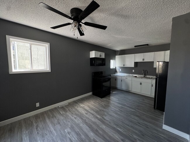
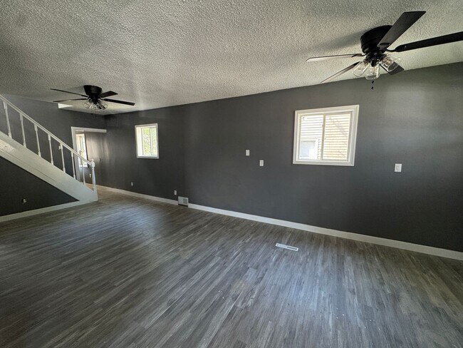
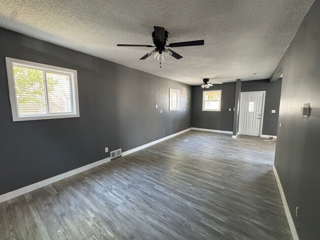
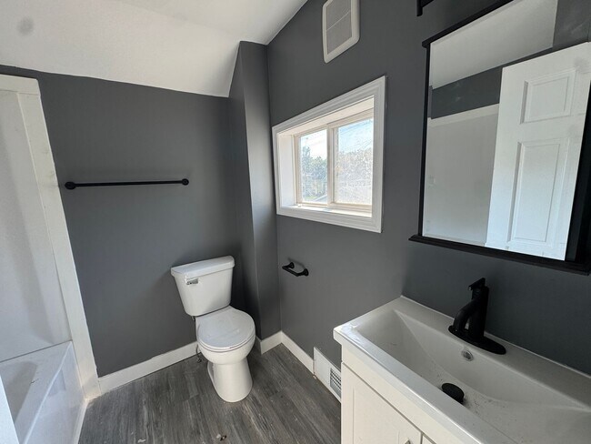
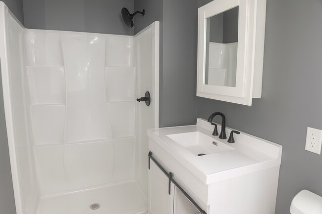
Affordable Spacious Home for your Family at 620 1st Ave, Silvis, IL 61282! This home features 5 Bedrooms, 2 Bathrooms, and a 2 Car Detached Garage. Pets are welcome! ($45/month per pet, restrictions apply). The tenant pays for the water, electricity, gas & trash. We offer self-guided showings. If you're interested, please do not hesitate to contact us!
Listing Provided By

Map
Property History
| Date | Event | Price | List to Sale | Price per Sq Ft |
|---|---|---|---|---|
| 12/12/2025 12/12/25 | For Rent | $1,265 | -- | -- |
Nearby Homes
- 441 2nd Avenue D Unit B&C
- 1113 2nd Ave Unit 2
- 150 12th St Unit N
- 150 12th St Unit S
- 613 5th St
- 508 12th St Unit A
- 900 Crampton Ave
- 813 Williams Way
- 533 15th Ave
- 735 20th Ave Unit 8
- 4000 Archer Dr
- 243 Orchard Ct
- 985 22nd Ave
- 1111 Avenue of the Cities
- 3343 5th St
- 2630 Kennedy Dr
- 161 16th Ave
- 2422 13th St
- 3402 Orchard Ln
- 1275 49th Avenue Ct