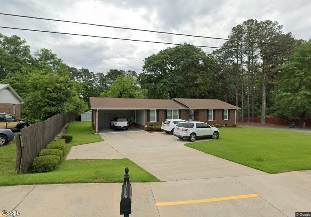
620 Adamson Ave Carrollton, GA 30117
Estimated Value: $243,000 - $307,000
3
Beds
2
Baths
1,723
Sq Ft
$160/Sq Ft
Est. Value
About This Home
This home is located at 620 Adamson Ave, Carrollton, GA 30117 and is currently estimated at $275,463, approximately $159 per square foot. 620 Adamson Ave is a home located in Carroll County with nearby schools including Carrollton Elementary School, Carrollton Upper Elementary School, and Carrollton Middle School.
Ownership History
Date
Name
Owned For
Owner Type
Purchase Details
Closed on
Jul 22, 2016
Sold by
Flower Child 2 Llc
Bought by
Folds Charles W
Current Estimated Value
Purchase Details
Closed on
Dec 14, 2010
Sold by
Folds Charles W
Bought by
Flower Child 2 Llc
Purchase Details
Closed on
Oct 1, 2008
Sold by
Not Provided
Bought by
Flower Child 2 Llc
Purchase Details
Closed on
Sep 18, 2008
Sold by
Laster Lee
Bought by
Folds Charles W
Purchase Details
Closed on
Sep 1, 1978
Bought by
Laster
Create a Home Valuation Report for This Property
The Home Valuation Report is an in-depth analysis detailing your home's value as well as a comparison with similar homes in the area
Home Values in the Area
Average Home Value in this Area
Purchase History
| Date | Buyer | Sale Price | Title Company |
|---|---|---|---|
| Folds Charles W | -- | -- | |
| Flower Child 2 Llc | -- | -- | |
| Flower Child 2 Llc | -- | -- | |
| Folds Charles W | $250,000 | -- | |
| Laster Lee | -- | -- | |
| Laster | $30,000 | -- |
Source: Public Records
Tax History Compared to Growth
Tax History
| Year | Tax Paid | Tax Assessment Tax Assessment Total Assessment is a certain percentage of the fair market value that is determined by local assessors to be the total taxable value of land and additions on the property. | Land | Improvement |
|---|---|---|---|---|
| 2024 | $570 | $93,342 | $8,000 | $85,342 |
| 2023 | $554 | $85,678 | $8,000 | $77,678 |
| 2022 | $535 | $70,385 | $8,000 | $62,385 |
| 2021 | $496 | $61,594 | $8,000 | $53,594 |
| 2020 | $470 | $55,743 | $8,000 | $47,743 |
| 2019 | $464 | $51,783 | $8,000 | $43,783 |
| 2018 | $455 | $46,205 | $8,000 | $38,205 |
| 2017 | $461 | $46,205 | $8,000 | $38,205 |
| 2016 | $1,398 | $46,205 | $8,000 | $38,205 |
| 2015 | $935 | $30,268 | $6,000 | $24,268 |
| 2014 | $836 | $26,961 | $6,000 | $20,961 |
Source: Public Records
Map
Nearby Homes
- 216 Lane Dr
- 214 Lane Dr
- 212 Lane Dr Unit LOT 60
- 212 Lane Dr
- 521 Adamson Ave
- 509 Adamson Ave
- 210 Lane Dr Unit LOT 61
- 210 Lane Dr
- 317 Bledsoe St
- 202 Laney Dr
- 112 Lane Dr
- 112 Lane Dr Unit LOT 68
- 150 Adamson Dr
- Plan 2121 at Canterbury Villas
- Plan 2307 at Canterbury Villas
- 204 Chaucer Ln
- Plan 1522 at Canterbury Villas
- Plan 1634 at Canterbury Villas
- Plan 2628 at Canterbury Villas
- 114 Bennett Cir
- 616 Adamson Ave
- 616 Adamson Ave
- 101 Canterbury Dr
- 621 Adamson Ave
- 102 Mallard Ln
- 702 Adamson Ave
- 104 Mallard Ln
- 114 Canterbury Dr
- 370 Strickland Rd
- 106 Mallard Ln
- 600 Adamson Ave
- 101 Mallard Ln
- 101 Mallard Ln
- 0 Mallard Ln Unit 8020621
- 0 Mallard Ln Unit 3083015
- 103 Mallard Ln
- 116 Canterbury Dr
- 105 Mallard Ln
- 120 Mitchell Cir
- 368 Strickland Rd