620 Anthony Trail Northbrook, IL 60062
Estimated Value: $524,986
Studio
--
Bath
40,000
Sq Ft
$13/Sq Ft
Est. Value
About This Home
This home is located at 620 Anthony Trail, Northbrook, IL 60062 and is currently estimated at $524,986, approximately $13 per square foot. 620 Anthony Trail is a home located in Cook County with nearby schools including Hickory Point Elementary School, Shabonee Elementary School, and Wood Oaks Jr High School.
Ownership History
Date
Name
Owned For
Owner Type
Purchase Details
Closed on
Apr 29, 2022
Sold by
620 Anthony Trail Llc
Bought by
Merrick M Elfman Revocable Trust and Elfman
Current Estimated Value
Purchase Details
Closed on
Aug 29, 2007
Sold by
Chicago Title Land Trust Co
Bought by
620 Anthony Trail Llc
Home Financials for this Owner
Home Financials are based on the most recent Mortgage that was taken out on this home.
Original Mortgage
$431,250
Interest Rate
6.26%
Mortgage Type
Commercial
Create a Home Valuation Report for This Property
The Home Valuation Report is an in-depth analysis detailing your home's value as well as a comparison with similar homes in the area
Home Values in the Area
Average Home Value in this Area
Purchase History
| Date | Buyer | Sale Price | Title Company |
|---|---|---|---|
| Merrick M Elfman Revocable Trust | $440,000 | Ballinger J David | |
| 620 Anthony Trail Llc | $575,000 | Chicago Title Land Trust Co |
Source: Public Records
Mortgage History
| Date | Status | Borrower | Loan Amount |
|---|---|---|---|
| Previous Owner | 620 Anthony Trail Llc | $431,250 |
Source: Public Records
Tax History
| Year | Tax Paid | Tax Assessment Tax Assessment Total Assessment is a certain percentage of the fair market value that is determined by local assessors to be the total taxable value of land and additions on the property. | Land | Improvement |
|---|---|---|---|---|
| 2025 | $20,195 | $95,500 | $40,823 | $54,677 |
| 2024 | $20,195 | $86,581 | $34,020 | $52,561 |
| 2023 | $19,506 | $86,581 | $34,020 | $52,561 |
| 2022 | $19,506 | $86,581 | $34,020 | $52,561 |
| 2021 | $18,804 | $74,278 | $34,019 | $40,259 |
| 2020 | $18,525 | $74,278 | $34,019 | $40,259 |
| 2019 | $16,459 | $74,278 | $34,019 | $40,259 |
| 2018 | $13,006 | $53,961 | $23,813 | $30,148 |
| 2017 | $12,641 | $53,961 | $23,813 | $30,148 |
| 2016 | $11,854 | $53,961 | $23,813 | $30,148 |
| 2015 | $21,358 | $87,500 | $20,411 | $67,089 |
| 2014 | $29,657 | $124,511 | $20,411 | $104,100 |
| 2013 | $28,821 | $124,511 | $20,411 | $104,100 |
Source: Public Records
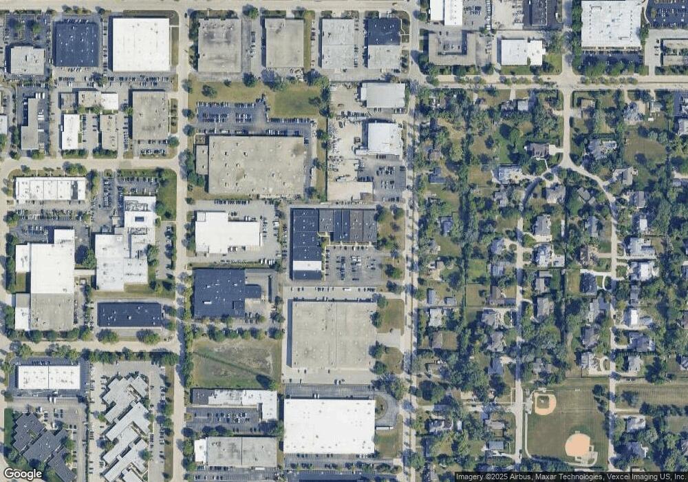
Map
Nearby Homes
- 575 Helen Dr
- 701 Anthony Trail
- 580 Greenwood Rd
- 3030 Pheasant Creek Dr Unit 405
- 3030 Pheasant Creek Dr Unit 102
- 3070 Pheasant Creek Dr Unit 207
- 579 Greenwood Rd
- 925 Spring Hill Dr Unit 101
- 3085 Pheasant Creek Dr Unit 212
- 3110 Pheasant Creek Dr Unit 101
- 3110 Pheasant Creek Dr Unit 104
- 3110 Pheasant Creek Dr Unit 318
- 2535 Stonebridge Ln
- 3549 Bayberry Dr
- 2700 Crabtree Ln
- 818 Bach St
- 847 Division St
- 1116 Adirondack Dr
- 2506 Peachtree Ln
- 1430 Country Ln
- 612 Anthony Trail
- 618 Anthony Trail
- 530 Anthony Trail
- 626 Anthony Trail
- 628 Anthony Trail
- 485 Anthony Trail
- 640 Anthony Trail
- 501 Anthony Trail
- 471 Anthony Trail
- 500 Anthony Trail
- 455 Anthony Trail
- 450 Anthony Trail
- 531 Anthony Trail
- 441 Anthony Trail
- 545 Anthony Trail
- 488 Helen Dr
- 500 Helen Dr
- 425 Anthony Trail
- 474 Helen Dr
- 514 Helen Dr
Your Personal Tour Guide
Ask me questions while you tour the home.