Estimated Value: $341,981 - $381,000
1
Bed
1
Bath
772
Sq Ft
$460/Sq Ft
Est. Value
About This Home
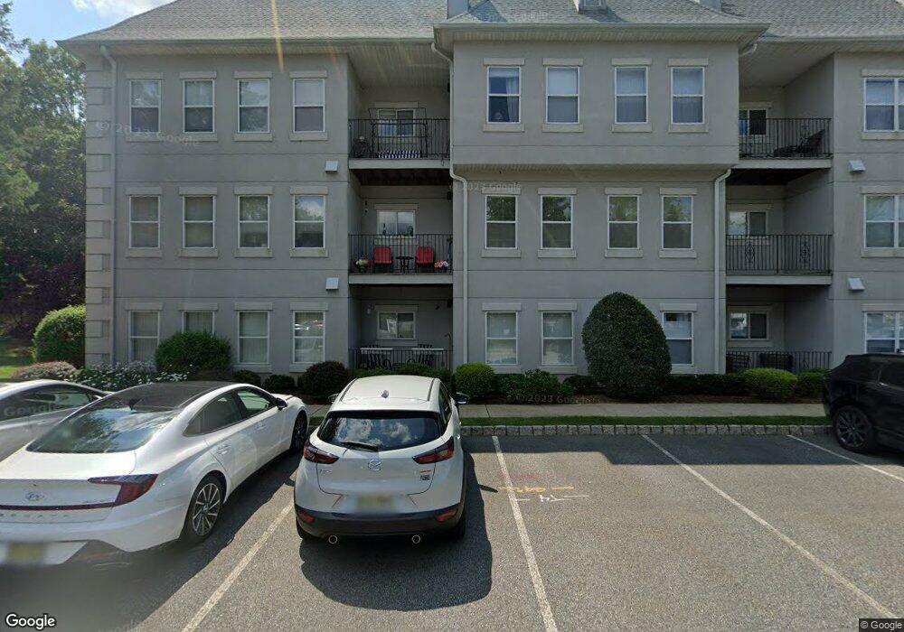
This home is located at 620 Brittany Dr Unit C0620, Wayne, NJ 07470 and is currently estimated at $354,745, approximately $459 per square foot. 620 Brittany Dr Unit C0620 is a home located in Passaic County with nearby schools including Albert P. Terhune Elementary School, Schuyler-Colfax Middle School, and Wayne Hills High School.
Ownership History
Date
Name
Owned For
Owner Type
Purchase Details
Closed on
Jun 14, 2016
Sold by
Chadhey Ahmad N and Chadhey Sonia S
Bought by
Kowalski Jarolaw and Kowalski Megda
Current Estimated Value
Home Financials for this Owner
Home Financials are based on the most recent Mortgage that was taken out on this home.
Original Mortgage
$152,000
Outstanding Balance
$68,155
Interest Rate
3.62%
Mortgage Type
Adjustable Rate Mortgage/ARM
Estimated Equity
$286,590
Purchase Details
Closed on
Jul 27, 2009
Sold by
Costabile Micahel and Disimino Kathryn
Bought by
Chaudhry Ahmad N and Chaudry Sonila S
Purchase Details
Closed on
Aug 11, 2005
Sold by
Lyons Kathleen M
Bought by
Costabile Michael and Disimino Kathryn
Purchase Details
Closed on
Aug 10, 2001
Sold by
Mcevoy Edward
Bought by
Lyons Kathleen
Home Financials for this Owner
Home Financials are based on the most recent Mortgage that was taken out on this home.
Original Mortgage
$151,500
Interest Rate
6.99%
Create a Home Valuation Report for This Property
The Home Valuation Report is an in-depth analysis detailing your home's value as well as a comparison with similar homes in the area
Home Values in the Area
Average Home Value in this Area
Purchase History
| Date | Buyer | Sale Price | Title Company |
|---|---|---|---|
| Kowalski Jarolaw | $211,000 | Town Title | |
| Chaudhry Ahmad N | $227,000 | -- | |
| Costabile Michael | $270,000 | -- | |
| Lyons Kathleen | $159,500 | -- |
Source: Public Records
Mortgage History
| Date | Status | Borrower | Loan Amount |
|---|---|---|---|
| Open | Kowalski Jarolaw | $152,000 | |
| Previous Owner | Lyons Kathleen | $151,500 |
Source: Public Records
Tax History Compared to Growth
Tax History
| Year | Tax Paid | Tax Assessment Tax Assessment Total Assessment is a certain percentage of the fair market value that is determined by local assessors to be the total taxable value of land and additions on the property. | Land | Improvement |
|---|---|---|---|---|
| 2025 | $5,928 | $99,700 | $45,700 | $54,000 |
| 2024 | $5,701 | $99,700 | $45,700 | $54,000 |
| 2022 | $5,637 | $99,700 | $45,700 | $54,000 |
| 2021 | $5,631 | $99,700 | $45,700 | $54,000 |
| 2020 | $5,606 | $99,700 | $45,700 | $54,000 |
| 2019 | $5,497 | $99,700 | $45,700 | $54,000 |
| 2018 | $5,449 | $99,700 | $45,700 | $54,000 |
| 2017 | $5,399 | $99,700 | $45,700 | $54,000 |
| 2016 | $5,323 | $99,700 | $45,700 | $54,000 |
| 2015 | $5,259 | $99,700 | $45,700 | $54,000 |
| 2014 | $5,111 | $99,700 | $45,700 | $54,000 |
Source: Public Records
Map
Nearby Homes
- 710 Brittany Dr Unit 10
- 1002 Brittany Dr Unit 1002
- 8619 Brittany Dr
- 8710 Brittany Dr
- 1017 Brittany Dr
- 8312 Brittany Dr
- 3 Brandywine Rd
- 9 Gates Place
- 89 Pancake Hollow Dr
- 1360 Hamburg Turnpike Unit 708
- 1553 Alps Rd
- 267 Church Ln
- 25 Sunrise Dr
- 27 Grandview Dr
- 106 Pancake Hollow Dr
- 200 Levinberg Ln
- 85 Mountain Ridge Dr
- 33 Gates Place
- 285 Levinberg Ln
- 619 Brittany Dr
- 618 Brittany Dr
- 616 Brittany Dr
- 624 Brittany Dr Unit 624
- 615 Brittany Dr
- 623 Brittany Dr
- 614 Brittany Dr
- 617 Brittany Dr
- 622 Brittany Dr
- 613 Brittany Dr
- 621 Brittany Dr
- 612 Brittany Dr Unit 2nd floor
- 610 Brittany Dr
- 609 Brittany Dr
- 608 Brittany Dr
- 607 Brittany Dr
- 606 Brittany Dr
- 605 Brittany Dr
- 701 Brittany Dr
- 702 Brittany Dr