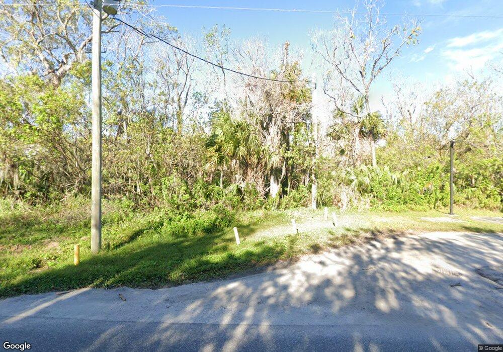
Estimated Value: $31,000
--
Bed
--
Bath
--
Sq Ft
4.96
Acres
About This Home
This home is located at 620 Dixon Blvd Unit LIFTST, Cocoa, FL 32922 and is currently priced at $31,000. 620 Dixon Blvd Unit LIFTST is a home located in Brevard County with nearby schools including Cambridge Elementary Magnet School, Cocoa High School, and Emma Jewel Charter Academy.
Ownership History
Date
Name
Owned For
Owner Type
Purchase Details
Closed on
Sep 3, 2008
Sold by
R E Joint Ventures Llc
Bought by
Sunward Manor Llc
Current Estimated Value
Purchase Details
Closed on
Jun 28, 2002
Sold by
Davis Jones Marjorie S and Davis Marjorie S
Bought by
R E Joint Ventures L L C
Home Financials for this Owner
Home Financials are based on the most recent Mortgage that was taken out on this home.
Original Mortgage
$400,000
Interest Rate
6.53%
Create a Home Valuation Report for This Property
The Home Valuation Report is an in-depth analysis detailing your home's value as well as a comparison with similar homes in the area
Home Values in the Area
Average Home Value in this Area
Purchase History
| Date | Buyer | Sale Price | Title Company |
|---|---|---|---|
| Sunward Manor Llc | $1,100,000 | Attorney | |
| R E Joint Ventures L L C | $750,000 | -- |
Source: Public Records
Mortgage History
| Date | Status | Borrower | Loan Amount |
|---|---|---|---|
| Previous Owner | R E Joint Ventures L L C | $400,000 |
Source: Public Records
Tax History Compared to Growth
Tax History
| Year | Tax Paid | Tax Assessment Tax Assessment Total Assessment is a certain percentage of the fair market value that is determined by local assessors to be the total taxable value of land and additions on the property. | Land | Improvement |
|---|---|---|---|---|
| 2025 | $14,884 | $844,350 | -- | -- |
| 2024 | $14,954 | $844,350 | -- | -- |
| 2023 | $14,954 | $836,330 | $836,330 | $0 |
| 2022 | $13,723 | $814,660 | $0 | $0 |
| 2021 | $14,287 | $810,650 | $810,650 | $0 |
| 2020 | $14,116 | $810,650 | $810,650 | $0 |
| 2019 | $14,415 | $810,650 | $810,650 | $0 |
| 2018 | $14,747 | $810,650 | $810,650 | $0 |
| 2017 | $15,194 | $810,650 | $810,650 | $0 |
| 2016 | $15,741 | $820,250 | $820,250 | $0 |
| 2015 | $18,037 | $895,990 | $895,990 | $0 |
| 2014 | $21,001 | $895,990 | $895,990 | $0 |
Source: Public Records
Map
Nearby Homes
- 118 S Indian Cir
- 1525 Indian River Dr
- 120 First Light Cir
- 130 First Light Cir
- Madison Plan at Riverwalk of Cocoa
- Jordyn II Plan at Riverwalk of Cocoa
- Redbud Plan at Riverwalk of Cocoa
- 245 First Light Cir
- 220 First Light Cir
- 235 First Light Cir
- 200 First Light Cir
- 225 First Light Cir
- 215 First Light Cir
- 1313 Donna Ave
- 121 Circle Dr
- 1613 N Indian River Dr
- 808 Kensington Dr
- 1318 Hillsdale Dr
- 0 U S Route 1
- 1315 N Fiske Blvd
- 620 Dixon Blvd Unit LIFTST
- 620 Dixon Blvd
- 3823 Indian River Dr
- 107 S Indian Cir
- 103 S Indian Cir
- 1405 N Indian River Dr
- 111 S Indian Cir
- 115 S Indian Cir Unit 124
- 115 S Indian Cir
- 1411 N Indian River Dr
- 101 S Indian Cir
- 119 S Indian Cir
- 650 E Dixon
- 123 S Indian Cir
- 108 S Indian Cir
- 1209 N Indian River Dr Unit 1209.5
- 1209 N Indian River Dr
- 112 S Indian Cir
- 127 S Indian Cir
- 650 Dixon Blvd
