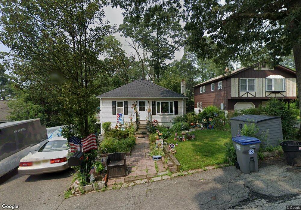
620 Dorothy Ln Landing, NJ 07850
Estimated Value: $331,644 - $427,000
--
Bed
--
Bath
728
Sq Ft
$551/Sq Ft
Est. Value
About This Home
This home is located at 620 Dorothy Ln, Landing, NJ 07850 and is currently estimated at $400,911, approximately $550 per square foot. 620 Dorothy Ln is a home located in Morris County with nearby schools including Edith M. Decker Elementary School and Mt. Arlington Public School.
Ownership History
Date
Name
Owned For
Owner Type
Purchase Details
Closed on
May 15, 2006
Sold by
Vittoria Stephen
Bought by
Bell Anthony and Menna Angela
Current Estimated Value
Home Financials for this Owner
Home Financials are based on the most recent Mortgage that was taken out on this home.
Original Mortgage
$268,312
Outstanding Balance
$155,573
Interest Rate
6.42%
Mortgage Type
VA
Estimated Equity
$245,338
Purchase Details
Closed on
Jan 26, 2001
Sold by
Carlstrom Mark and Carlstrom Annika
Bought by
Vittoria Stephen and Vittoria Kathleen
Home Financials for this Owner
Home Financials are based on the most recent Mortgage that was taken out on this home.
Original Mortgage
$155,396
Interest Rate
7.13%
Mortgage Type
FHA
Create a Home Valuation Report for This Property
The Home Valuation Report is an in-depth analysis detailing your home's value as well as a comparison with similar homes in the area
Home Values in the Area
Average Home Value in this Area
Purchase History
| Date | Buyer | Sale Price | Title Company |
|---|---|---|---|
| Bell Anthony | $305,000 | -- | |
| Vittoria Stephen | $157,900 | -- |
Source: Public Records
Mortgage History
| Date | Status | Borrower | Loan Amount |
|---|---|---|---|
| Open | Bell Anthony | $268,312 | |
| Previous Owner | Vittoria Stephen | $155,396 |
Source: Public Records
Tax History Compared to Growth
Tax History
| Year | Tax Paid | Tax Assessment Tax Assessment Total Assessment is a certain percentage of the fair market value that is determined by local assessors to be the total taxable value of land and additions on the property. | Land | Improvement |
|---|---|---|---|---|
| 2025 | $5,241 | $257,400 | $127,900 | $129,500 |
| 2024 | $5,032 | $257,400 | $127,900 | $129,500 |
| 2023 | $5,032 | $257,400 | $127,900 | $129,500 |
| 2022 | $5,390 | $197,000 | $125,000 | $72,000 |
| 2021 | $5,390 | $197,000 | $125,000 | $72,000 |
| 2020 | $5,299 | $197,000 | $125,000 | $72,000 |
| 2019 | $5,191 | $197,000 | $125,000 | $72,000 |
| 2018 | $5,179 | $197,000 | $125,000 | $72,000 |
| 2017 | $5,120 | $197,000 | $125,000 | $72,000 |
| 2016 | $5,110 | $197,000 | $125,000 | $72,000 |
| 2015 | $5,022 | $197,000 | $125,000 | $72,000 |
| 2014 | $4,964 | $197,000 | $125,000 | $72,000 |
Source: Public Records
Map
Nearby Homes
- 592 Dell Rd
- 547 Atlas Rd
- 537 Dell Rd
- 649 Henmar Dr
- 15 Auriemma Ct
- 505 Logan Dr
- 512 Colver Rd
- 504 Ryerson Rd
- 21 Laurie Rd
- 24 Bertrand Island Rd
- 203 Howard Blvd
- 305 Kingsland Rd
- 100 Zachary Way Unit 100
- 41 Catamaran Ct
- 16 Esposito Ln
- 29 Ridgeview Ln
- 7 Ridgeview Ln
- 11 Zachary Way
- 90 Salmon Rd
- 86 Brookside Ln