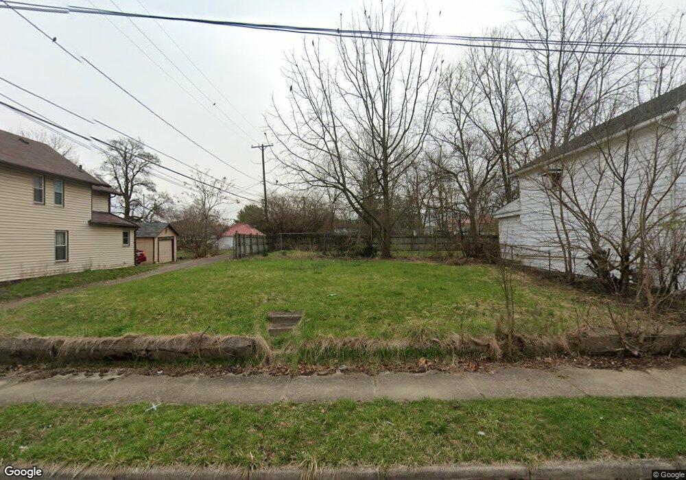
620 Elm St Springfield, OH 45503
Estimated Value: $60,000 - $228,000
Studio
--
Bath
--
Sq Ft
2,570
Sq Ft Lot
About This Home
This home is located at 620 Elm St, Springfield, OH 45503 and is currently estimated at $116,667. 620 Elm St is a home located in Clark County with nearby schools including Lagonda Elementary School, Roosevelt Middle School, and Springfield High School.
Ownership History
Date
Name
Owned For
Owner Type
Purchase Details
Closed on
Feb 10, 2026
Sold by
Real Estate Reborn Llc
Bought by
Walker Tylynn N and Williams Courtney L
Current Estimated Value
Purchase Details
Closed on
Oct 1, 2025
Sold by
Ewers Jennifer G
Bought by
Real Estate Reborn Llc
Home Financials for this Owner
Home Financials are based on the most recent Mortgage that was taken out on this home.
Original Mortgage
$60,000
Interest Rate
6.58%
Mortgage Type
New Conventional
Purchase Details
Closed on
Mar 29, 2016
Sold by
Your At Home Rentals Llc
Bought by
Ewers Jennifer G
Home Financials for this Owner
Home Financials are based on the most recent Mortgage that was taken out on this home.
Original Mortgage
$46,075
Interest Rate
3.65%
Mortgage Type
New Conventional
Purchase Details
Closed on
Jun 23, 2015
Sold by
Wells Fargo Bank Na
Bought by
Your At Home Rentals Llc
Purchase Details
Closed on
Apr 13, 2015
Sold by
Browning Ella L and Browning Neal
Bought by
Wells Fargo Bank Na
Purchase Details
Closed on
Jun 29, 1993
Create a Home Valuation Report for This Property
The Home Valuation Report is an in-depth analysis detailing your home's value as well as a comparison with similar homes in the area
Home Values in the Area
Average Home Value in this Area
Purchase History
| Date | Buyer | Sale Price | Title Company |
|---|---|---|---|
| Walker Tylynn N | $2,300 | City Title | |
| Real Estate Reborn Llc | $61,300 | Pctitle Pros | |
| Ewers Jennifer G | $47,500 | None Available | |
| Your At Home Rentals Llc | $9,000 | Attorney | |
| Wells Fargo Bank Na | $13,400 | Attorney | |
| -- | -- | -- |
Source: Public Records
Mortgage History
| Date | Status | Borrower | Loan Amount |
|---|---|---|---|
| Previous Owner | Real Estate Reborn Llc | $60,000 | |
| Previous Owner | Ewers Jennifer G | $46,075 |
Source: Public Records
Tax History
| Year | Tax Paid | Tax Assessment Tax Assessment Total Assessment is a certain percentage of the fair market value that is determined by local assessors to be the total taxable value of land and additions on the property. | Land | Improvement |
|---|---|---|---|---|
| 2025 | $39 | $790 | $790 | -- |
| 2024 | $38 | $760 | $760 | -- |
| 2023 | $38 | $760 | $760 | $0 |
| 2022 | $38 | $760 | $760 | $0 |
| 2021 | $31 | $570 | $570 | $0 |
| 2020 | $31 | $570 | $570 | $0 |
| 2019 | $31 | $570 | $570 | $0 |
| 2018 | $33 | $570 | $570 | $0 |
| 2017 | $33 | $567 | $567 | $0 |
| 2016 | $33 | $567 | $567 | $0 |
| 2015 | $33 | $567 | $567 | $0 |
| 2014 | $244 | $567 | $567 | $0 |
| 2013 | $418 | $567 | $567 | $0 |
Source: Public Records
Map
Nearby Homes
- 412 E Madison Ave
- 825-827 Elm St
- 726 E Madison Ave
- 469 E Cecil St Unit 471
- 114-116 E Ward St
- 469-471 E Cecil St
- 836-838 Rodgers Dr
- 1007 N Limestone St
- 802 Warder St
- 0 Mitchell Blvd
- 1015 Rodgers Dr
- 736 E Northern Ave
- 1023 Garfield Ave
- 1224 Glenmore Dr
- 119 E McCreight Ave
- 120 E Ward St
- 24 Bill Edwards Dr
- 1107 N Fountain Ave
- 0 E McCreight Ave
- 876 E McCreight Ave Unit 2
- 618 Elm St
- 460 Sherman Ave
- 619 Elm St
- 464 Sherman Ave
- 414 Sherman Ave
- 453 Stanton Ave
- 451 Stanton Ave
- 506 Sherman Ave
- 455 Stanton Ave
- 410 Sherman Ave
- 408 Sherman Ave
- 503 Stanton Ave Unit 505
- 407 Stanton Ave
- 510 Sherman Ave
- 411 Stanton Ave
- 406 Sherman Ave
- 403 Stanton Ave
- 509 Stanton Ave
- 459 Sherman Ave
- 421 Sherman Ave
Your Personal Tour Guide
Ask me questions while you tour the home.