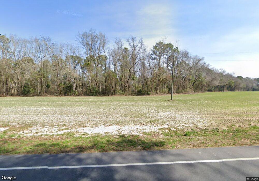
620 Firetower Rd Harrells, NC 28444
Estimated Value: $275,000 - $737,000
3
Beds
3
Baths
2,474
Sq Ft
$217/Sq Ft
Est. Value
About This Home
This home is located at 620 Firetower Rd, Harrells, NC 28444 and is currently estimated at $536,585, approximately $216 per square foot. 620 Firetower Rd is a home with nearby schools including Union Elementary School, Union Intermediate School, and Union Middle School.
Ownership History
Date
Name
Owned For
Owner Type
Purchase Details
Closed on
Dec 12, 2019
Sold by
Firetower Farms Llc
Bought by
Tyson Chester J and Tyson Susan M
Current Estimated Value
Home Financials for this Owner
Home Financials are based on the most recent Mortgage that was taken out on this home.
Original Mortgage
$406,426
Outstanding Balance
$357,616
Interest Rate
3.5%
Mortgage Type
Adjustable Rate Mortgage/ARM
Estimated Equity
$178,969
Purchase Details
Closed on
Apr 19, 2005
Sold by
Webster George Alfred and Webster Lee Lyles
Bought by
Firetower Farms Llc
Home Financials for this Owner
Home Financials are based on the most recent Mortgage that was taken out on this home.
Original Mortgage
$267,200
Interest Rate
5.79%
Mortgage Type
Future Advance Clause Open End Mortgage
Create a Home Valuation Report for This Property
The Home Valuation Report is an in-depth analysis detailing your home's value as well as a comparison with similar homes in the area
Home Values in the Area
Average Home Value in this Area
Purchase History
| Date | Buyer | Sale Price | Title Company |
|---|---|---|---|
| Tyson Chester J | -- | None Available | |
| Firetower Farms Llc | $345,000 | -- |
Source: Public Records
Mortgage History
| Date | Status | Borrower | Loan Amount |
|---|---|---|---|
| Open | Tyson Chester J | $406,426 | |
| Previous Owner | Firetower Farms Llc | $267,200 |
Source: Public Records
Tax History Compared to Growth
Tax History
| Year | Tax Paid | Tax Assessment Tax Assessment Total Assessment is a certain percentage of the fair market value that is determined by local assessors to be the total taxable value of land and additions on the property. | Land | Improvement |
|---|---|---|---|---|
| 2025 | $3,624 | $464,672 | $87,925 | $376,747 |
| 2024 | $3,253 | $464,672 | $87,925 | $376,747 |
| 2023 | $3,284 | $355,050 | $76,456 | $278,594 |
| 2022 | $3,284 | $355,050 | $76,456 | $278,594 |
| 2021 | $3,284 | $355,050 | $76,456 | $278,594 |
| 2020 | $675 | $74,553 | $0 | $0 |
| 2019 | $675 | $74,553 | $0 | $0 |
| 2018 | $1,766 | $195,182 | $0 | $0 |
| 2017 | $1,766 | $195,182 | $0 | $0 |
| 2016 | $1,776 | $195,182 | $0 | $0 |
| 2015 | $1,776 | $195,182 | $0 | $0 |
| 2014 | $1,766 | $195,182 | $0 | $0 |
Source: Public Records
Map
Nearby Homes
- 1601 Black River Ln
- 75 Ride Safe
- 365 Scronce Rd
- 11394 N Carolina 41
- 4210 Scronce Rd
- 258 Bowen Rd
- 75 Grays Dr
- Lot 1 Ivanhoe Rd
- 544 Tomahawk Hwy
- Tbd Moon Johnson Rd
- 708 Albert Beatty Ln
- Moon Johnson Rd
- 00 Lockwood Ln
- 6.5ac Buckhorn Rd
- 145 Opossum Ln
- 0 Cc Unit 100444780
- 2400 Wilmington Hwy
- 235 Shanghai Rd
- 454 Buckhorn Rd
- 0 W Magnolia-Lisbon Rd
