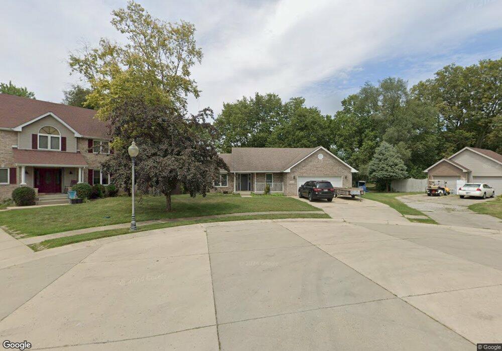
620 Freedom Cir Edinburgh, IN 46124
Estimated Value: $219,000 - $260,000
3
Beds
2
Baths
1,531
Sq Ft
$159/Sq Ft
Est. Value
About This Home
This home is located at 620 Freedom Cir, Edinburgh, IN 46124 and is currently estimated at $243,958, approximately $159 per square foot. 620 Freedom Cir is a home located in Johnson County with nearby schools including East Side Elementary School, Edinburgh Community Middle School, and Edinburgh Community High School.
Ownership History
Date
Name
Owned For
Owner Type
Purchase Details
Closed on
Jun 20, 2005
Sold by
Halifax Financial Group Lp
Bought by
Burton Jason D and Burton Kathy L
Current Estimated Value
Home Financials for this Owner
Home Financials are based on the most recent Mortgage that was taken out on this home.
Original Mortgage
$105,000
Outstanding Balance
$54,569
Interest Rate
5.69%
Mortgage Type
New Conventional
Estimated Equity
$187,619
Purchase Details
Closed on
Mar 5, 2005
Sold by
Worzella Christina and Worzella Paul
Bought by
Halifax Financial Group L P
Create a Home Valuation Report for This Property
The Home Valuation Report is an in-depth analysis detailing your home's value as well as a comparison with similar homes in the area
Home Values in the Area
Average Home Value in this Area
Purchase History
| Date | Buyer | Sale Price | Title Company |
|---|---|---|---|
| Burton Jason D | -- | None Available | |
| Halifax Financial Group L P | -- | None Available |
Source: Public Records
Mortgage History
| Date | Status | Borrower | Loan Amount |
|---|---|---|---|
| Open | Burton Jason D | $105,000 |
Source: Public Records
Tax History
| Year | Tax Paid | Tax Assessment Tax Assessment Total Assessment is a certain percentage of the fair market value that is determined by local assessors to be the total taxable value of land and additions on the property. | Land | Improvement |
|---|---|---|---|---|
| 2025 | $2,084 | $232,200 | $26,200 | $206,000 |
| 2024 | $2,084 | $178,600 | $22,000 | $156,600 |
| 2023 | $1,855 | $160,000 | $22,000 | $138,000 |
| 2022 | $1,869 | $159,100 | $22,000 | $137,100 |
| 2021 | $1,157 | $115,700 | $19,900 | $95,800 |
| 2020 | $1,126 | $112,600 | $19,900 | $92,700 |
| 2019 | $1,229 | $122,900 | $19,900 | $103,000 |
| 2018 | $1,143 | $122,900 | $19,900 | $103,000 |
| 2017 | $1,056 | $105,600 | $19,900 | $85,700 |
| 2016 | $1,284 | $128,400 | $19,900 | $108,500 |
| 2014 | $1,276 | $127,600 | $19,900 | $107,700 |
| 2013 | $1,276 | $128,900 | $19,900 | $109,000 |
Source: Public Records
Map
Nearby Homes
- 630 Liberty Cir
- 116 Lind Dr
- 110 Lincoln St
- 1050 Capital Dr
- 1056 Capitol Dr
- 1008 Capitol Dr
- 400 E Main Cross St
- 933 Independence Dr
- 501 E Thompson St
- 1130 Constitution Dr
- 502 E Campbell St
- 1066 Capitol Dr
- 401 S Walnut St
- 310 S Pleasant St
- 407 S Pleasant St
- 602 S Walnut St
- 20 N Eisenhower Dr
- 7221 U S 31 S
- 4404 W Nerna St
- Lot 5 S Auburn Hills Dr
- 630 Freedom Cir
- 610 Freedom Cir
- 610 Liberty Cir
- 940 Cambridge Ln
- 930 Cambridge Ln
- 960 Cambridge Ln
- 7891 E State Road 252
- 970 Cambridge Ln
- 7879 E State Road 252
- 620 Liberty Cir
- 7915 E State Road 252
- 600 Liberty Cir
- 7853 E State Road 252
- 7915 E State Road 252
- 980 Cambridge Ln
- 7837 E State Road 252
- 935 Cambridge Ln
- 945 Cambridge Ln
- 955 Cambridge Ln
- 7935 E State Road 252
Your Personal Tour Guide
Ask me questions while you tour the home.