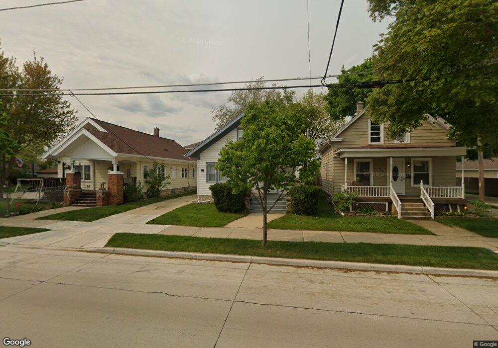
620 Goold St Racine, WI 53402
The 12th Ward NeighborhoodEstimated Value: $207,000 - $221,000
4
Beds
1
Bath
1,344
Sq Ft
$157/Sq Ft
Est. Value
About This Home
This home is located at 620 Goold St, Racine, WI 53402 and is currently estimated at $211,330, approximately $157 per square foot. 620 Goold St is a home located in Racine County with nearby schools including Roosevelt Elementary School, Jerstad-Agerholm Middle School, and Horlick High School.
Ownership History
Date
Name
Owned For
Owner Type
Purchase Details
Closed on
Jul 29, 2016
Sold by
Schwarz Ralph and Schwarz Verdeep
Bought by
Lane Birch Properties Llc
Current Estimated Value
Purchase Details
Closed on
Jul 18, 2016
Sold by
Sentware Rolpa and Sentware Yerofzer
Bought by
Laqe Birch Prwperties Llc
Purchase Details
Closed on
May 21, 2015
Sold by
Us Bank Trust Na
Bought by
Schwarz Ralph and Schwarz Verdeep
Purchase Details
Closed on
Feb 3, 2015
Sold by
Jackson Roosevelt
Bought by
U S Bank Trust N A and Volt Asset Holdings Trust Xvi
Create a Home Valuation Report for This Property
The Home Valuation Report is an in-depth analysis detailing your home's value as well as a comparison with similar homes in the area
Home Values in the Area
Average Home Value in this Area
Purchase History
| Date | Buyer | Sale Price | Title Company |
|---|---|---|---|
| Lane Birch Properties Llc | -- | None Available | |
| Laqe Birch Prwperties Llc | $29,900 | None Available | |
| Schwarz Ralph | $29,900 | Knight Barry Title Inc | |
| U S Bank Trust N A | -- | None Available |
Source: Public Records
Tax History Compared to Growth
Tax History
| Year | Tax Paid | Tax Assessment Tax Assessment Total Assessment is a certain percentage of the fair market value that is determined by local assessors to be the total taxable value of land and additions on the property. | Land | Improvement |
|---|---|---|---|---|
| 2024 | $4,093 | $168,700 | $18,400 | $150,300 |
| 2023 | $3,950 | $155,000 | $18,400 | $136,600 |
| 2022 | $3,530 | $138,000 | $18,400 | $119,600 |
| 2021 | $3,600 | $125,000 | $18,400 | $106,600 |
| 2020 | $3,521 | $125,000 | $18,400 | $106,600 |
| 2019 | $3,335 | $112,000 | $18,400 | $93,600 |
| 2018 | $2,827 | $0 | $0 | $0 |
| 2017 | $2,792 | $94,000 | $18,400 | $75,600 |
| 2016 | $2,642 | $80,000 | $18,400 | $61,600 |
| 2015 | $3,410 | $90,000 | $18,400 | $71,600 |
| 2014 | $3,410 | $90,000 | $18,400 | $71,600 |
| 2013 | $3,410 | $96,000 | $21,700 | $74,300 |
Source: Public Records
Map
Nearby Homes
- 2206 N Main St
- 2326 Saint Clair St
- 1922 Lasalle St
- 1910 Lasalle St
- 1812 Green St
- 1715 Saint Clair St
- 1823 Marquette St
- 1700 Green St
- 501 High St
- 901 William St
- 1228 English St
- 2818 Lasalle St
- 1606 N Main St
- 1639 Douglas Ave
- 1600 N Main St
- 711 Kewaunee St
- 807 Florence Ave
- 819 Florence Ave
- 1616 Dr Martin Luther King Dr
- 1626 Rapids Dr