620 Hattabaugh Dr Elkins, AR 72727
Estimated Value: $454,000 - $783,000
Studio
3
Baths
2,936
Sq Ft
$202/Sq Ft
Est. Value
About This Home
This home is located at 620 Hattabaugh Dr, Elkins, AR 72727 and is currently estimated at $591,843, approximately $201 per square foot. 620 Hattabaugh Dr is a home located in Washington County with nearby schools including Elkins Elementary Primary School, Elkins Elementary School, and Elkins Middle School.
Ownership History
Date
Name
Owned For
Owner Type
Purchase Details
Closed on
Apr 29, 2005
Sold by
Rice Carrie Lorraine
Bought by
Rice Driston Charles
Current Estimated Value
Purchase Details
Closed on
Jun 19, 1996
Bought by
Rice Driston and Rice Carrie
Purchase Details
Closed on
Aug 18, 1995
Bought by
Williams Diane R
Purchase Details
Closed on
Jan 1, 1995
Bought by
Stafford Melanie P
Create a Home Valuation Report for This Property
The Home Valuation Report is an in-depth analysis detailing your home's value as well as a comparison with similar homes in the area
Home Values in the Area
Average Home Value in this Area
Purchase History
| Date | Buyer | Sale Price | Title Company |
|---|---|---|---|
| Rice Driston Charles | -- | None Available | |
| Rice Driston | $23,000 | -- | |
| Williams Diane R | -- | -- | |
| Stafford Melanie P | -- | -- |
Source: Public Records
Tax History
| Year | Tax Paid | Tax Assessment Tax Assessment Total Assessment is a certain percentage of the fair market value that is determined by local assessors to be the total taxable value of land and additions on the property. | Land | Improvement |
|---|---|---|---|---|
| 2025 | $2,582 | $96,870 | $14,070 | $82,800 |
| 2024 | $2,538 | $96,870 | $14,070 | $82,800 |
| 2023 | $2,555 | $96,870 | $14,070 | $82,800 |
| 2022 | $2,362 | $52,660 | $9,520 | $43,140 |
| 2021 | $2,249 | $52,660 | $9,520 | $43,140 |
| 2020 | $2,117 | $52,660 | $9,520 | $43,140 |
| 2019 | $2,002 | $42,670 | $7,780 | $34,890 |
| 2018 | $2,018 | $42,670 | $7,780 | $34,890 |
| 2017 | $1,984 | $42,670 | $7,780 | $34,890 |
| 2016 | $1,972 | $42,670 | $7,780 | $34,890 |
| 2015 | $1,959 | $42,670 | $7,780 | $34,890 |
| 2014 | $2,225 | $46,639 | $7,790 | $38,849 |
Source: Public Records
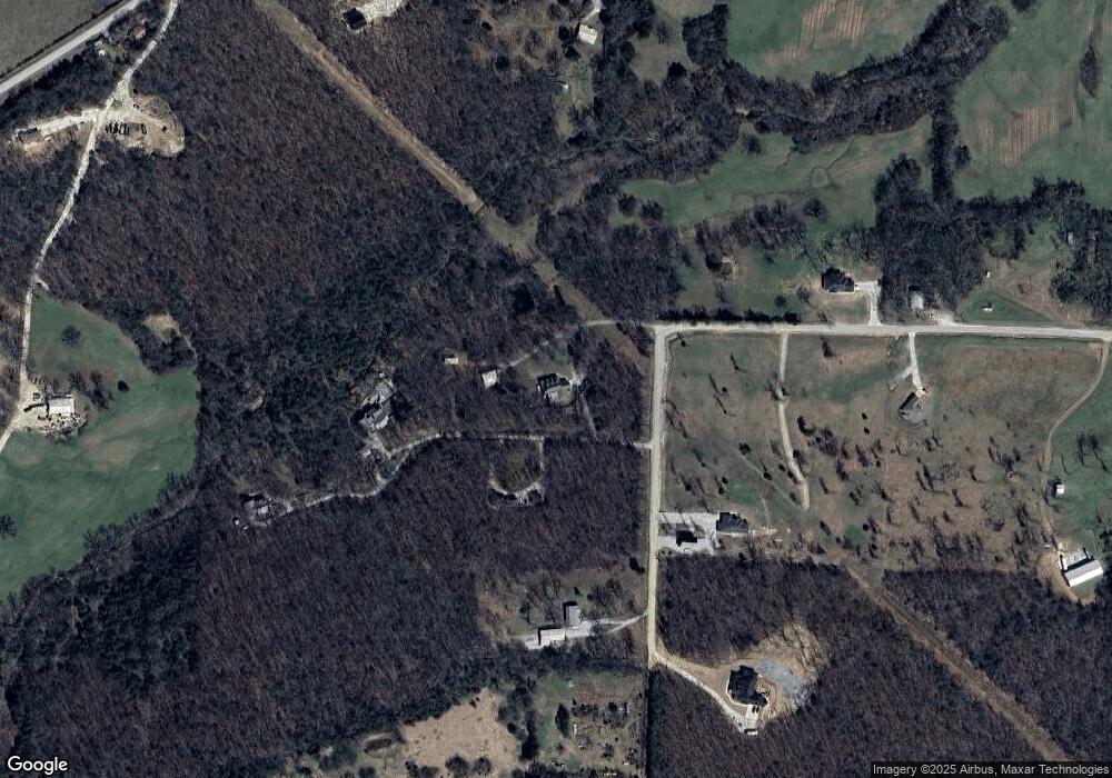
Map
Nearby Homes
- 650 Hattabaugh Dr
- 495 Hattabaugh Dr
- 10711 Hattabaugh Dr
- 498 Hattabaugh Dr
- 0 Hattabaugh Dr Unit 384530
- 0 Hattabaugh Dr Unit 1011864
- 0 Hattabaugh Dr Unit 1011870
- 0 Hattabaugh Dr Unit 731403
- 0 Hattabaugh Dr Unit 1011869
- 640 Hattabaugh Dr
- 390 Oneal Ln
- 448 Hattabaugh Dr
- 461 Hattabaugh Dr
- 319 Oneal Ln
- 359 Sulphur City Rd
- 325 Sulphur City Rd
- 359 Sulphur City Rd
- 290 Oneal Ln
- 399 Sulphur City Rd
- 353 Hattabaugh Dr
Your Personal Tour Guide
Ask me questions while you tour the home.