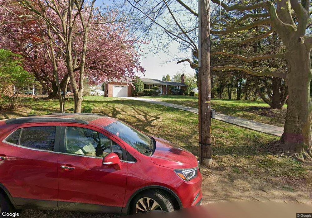
620 Hendren St Philadelphia, PA 19128
Upper Roxborough NeighborhoodEstimated Value: $460,000 - $543,899
3
Beds
3
Baths
1,762
Sq Ft
$290/Sq Ft
Est. Value
About This Home
This home is located at 620 Hendren St, Philadelphia, PA 19128 and is currently estimated at $511,725, approximately $290 per square foot. 620 Hendren St is a home located in Philadelphia County with nearby schools including Shawmont School, Roxborough High School, and Green Woods CS.
Ownership History
Date
Name
Owned For
Owner Type
Purchase Details
Closed on
Feb 5, 2010
Sold by
Keely Walter P
Bought by
Council Charlotte A
Current Estimated Value
Home Financials for this Owner
Home Financials are based on the most recent Mortgage that was taken out on this home.
Original Mortgage
$300,000
Outstanding Balance
$199,155
Interest Rate
5.17%
Mortgage Type
New Conventional
Estimated Equity
$312,570
Create a Home Valuation Report for This Property
The Home Valuation Report is an in-depth analysis detailing your home's value as well as a comparison with similar homes in the area
Home Values in the Area
Average Home Value in this Area
Purchase History
| Date | Buyer | Sale Price | Title Company |
|---|---|---|---|
| Council Charlotte A | $375,000 | None Available |
Source: Public Records
Mortgage History
| Date | Status | Borrower | Loan Amount |
|---|---|---|---|
| Open | Council Charlotte A | $300,000 |
Source: Public Records
Tax History Compared to Growth
Tax History
| Year | Tax Paid | Tax Assessment Tax Assessment Total Assessment is a certain percentage of the fair market value that is determined by local assessors to be the total taxable value of land and additions on the property. | Land | Improvement |
|---|---|---|---|---|
| 2026 | $5,508 | $468,400 | $93,680 | $374,720 |
| 2025 | $5,508 | $468,400 | $93,680 | $374,720 |
| 2024 | $5,508 | $468,400 | $93,680 | $374,720 |
| 2023 | $5,508 | $393,500 | $78,700 | $314,800 |
| 2022 | $4,640 | $348,500 | $78,700 | $269,800 |
| 2021 | $5,270 | $0 | $0 | $0 |
| 2020 | $5,270 | $0 | $0 | $0 |
| 2019 | $5,179 | $0 | $0 | $0 |
| 2018 | $3,991 | $0 | $0 | $0 |
| 2017 | $4,411 | $0 | $0 | $0 |
| 2016 | $3,991 | $0 | $0 | $0 |
| 2015 | $3,820 | $0 | $0 | $0 |
| 2014 | -- | $315,100 | $97,580 | $217,520 |
| 2012 | -- | $40,320 | $7,744 | $32,576 |
Source: Public Records
Map
Nearby Homes
- 615 Spring Ln
- 625 Spring Ln
- 8669 Steeple Dr
- 9001 Ridge Ave Unit 31
- 9001 Ridge Ave Unit 14
- 853 Ronnie Ln
- 929 Manatawna Ave
- 622 Keely Ct
- 937 Caledonia St
- 804 Keely Place
- 714 Crestview Rd
- 857 Hamilton Dr
- 488 Evergreen Ave
- 909 Glenroy Rd
- 385 Port Royal Ave
- 604 Palairet Rd
- 571 Shawmont Ave
- 661 Ridge Pike
- 7708 Lawnton St
- 7707 Ridge Ave
- 630 Hendren St
- 610 Hendren St
- 640 Hendren St
- 641 1/2 Hendren St
- 643 Hendren St
- 730 Manatawna Ave
- 728 Manatawna Ave
- 650 Hendren St
- 645 Hendren St
- 732 Manatawna Ave
- 726 Manatawna Ave
- 644 Spring Ln
- 580 Spring Ln
- 736 Manatawna Ave
- 646 Spring Ln
- 641 Hendren St
- 600 Hendren St
- 647 Hendren St
- 724 Manatawna Ave
- 604 Hendren St