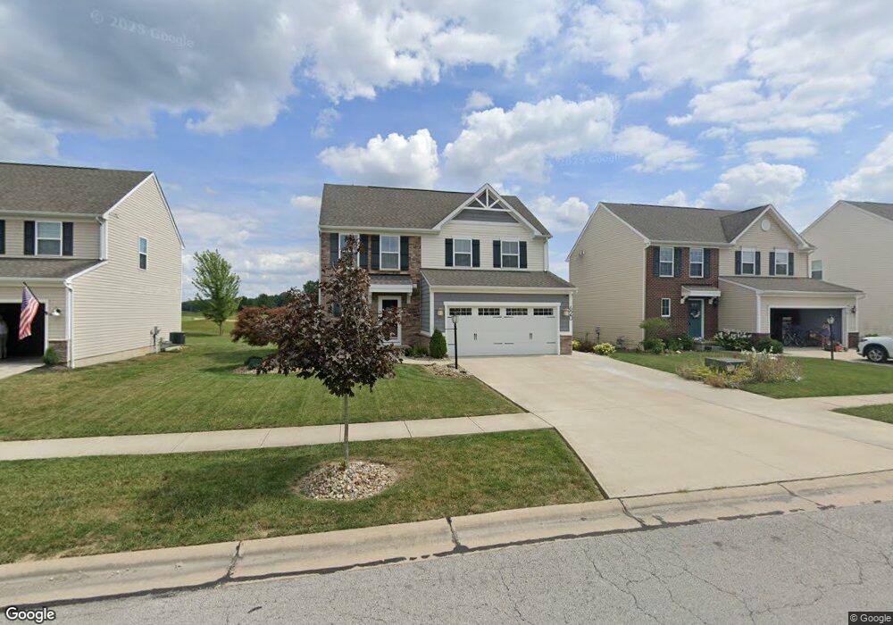
620 Hendrix Blvd Lagrange, OH 44050
Estimated Value: $343,802 - $398,000
3
Beds
3
Baths
1,800
Sq Ft
$207/Sq Ft
Est. Value
About This Home
This home is located at 620 Hendrix Blvd, Lagrange, OH 44050 and is currently estimated at $372,451, approximately $206 per square foot. 620 Hendrix Blvd is a home with nearby schools including Keystone Elementary School, Keystone Middle School, and Keystone High School.
Ownership History
Date
Name
Owned For
Owner Type
Purchase Details
Closed on
Jul 7, 2017
Sold by
Nvr Inc
Bought by
Miller Alexandria L and Abraham Aaron
Current Estimated Value
Home Financials for this Owner
Home Financials are based on the most recent Mortgage that was taken out on this home.
Original Mortgage
$191,363
Outstanding Balance
$159,208
Interest Rate
3.94%
Mortgage Type
New Conventional
Estimated Equity
$213,243
Purchase Details
Closed on
Apr 4, 2017
Sold by
Greyhawk Land Holdings Llc
Bought by
Nvr Inc
Purchase Details
Closed on
Oct 26, 2010
Sold by
Durham Ridge Investments Llc
Bought by
Greyhawk Land Holdings Llc
Create a Home Valuation Report for This Property
The Home Valuation Report is an in-depth analysis detailing your home's value as well as a comparison with similar homes in the area
Home Values in the Area
Average Home Value in this Area
Purchase History
| Date | Buyer | Sale Price | Title Company |
|---|---|---|---|
| Miller Alexandria L | $201,500 | -- | |
| Nvr Inc | $22,000 | Nvr Title | |
| Greyhawk Land Holdings Llc | $19,000 | Revere Title |
Source: Public Records
Mortgage History
| Date | Status | Borrower | Loan Amount |
|---|---|---|---|
| Open | Miller Alexandria L | $191,363 |
Source: Public Records
Tax History
| Year | Tax Paid | Tax Assessment Tax Assessment Total Assessment is a certain percentage of the fair market value that is determined by local assessors to be the total taxable value of land and additions on the property. | Land | Improvement |
|---|---|---|---|---|
| 2024 | $4,303 | $99,596 | $26,250 | $73,346 |
| 2023 | $3,890 | $75,177 | $17,217 | $57,960 |
| 2022 | $3,865 | $75,177 | $17,217 | $57,960 |
| 2021 | $3,866 | $75,177 | $17,217 | $57,960 |
| 2020 | $3,969 | $68,780 | $15,750 | $53,030 |
| 2019 | $3,843 | $66,960 | $15,750 | $51,210 |
| 2018 | $2,145 | $66,960 | $15,750 | $51,210 |
| 2017 | $572 | $9,640 | $9,640 | $0 |
| 2016 | $568 | $9,640 | $9,640 | $0 |
| 2015 | $568 | $9,640 | $9,640 | $0 |
| 2014 | $529 | $10,150 | $10,150 | $0 |
| 2013 | $525 | $10,360 | $10,360 | $0 |
Source: Public Records
Map
Nearby Homes
- 801 Willich Ct
- 800 Buckingham Dr
- 808 Buckingham Dr
- 548 William St
- 829 Robinson Dr
- 516 Appomattox Ct
- 340 Granger Dr
- 567 Vicksburg Ct
- 0 Dill Ct Unit 5072837
- 317 Church St
- 110 Railroad St
- 305 W Main St
- 40260 Whitney Rd
- 40175 Banks Rd
- 40163 Banks Rd
- 1033 Parsons Rd Unit 11
- 697 Main St
- 551 N Main St
- 779 Huron St
- 1207 Fox Run
- 622 Hendrix Blvd
- 618 Hendrix Blvd
- 624 Hendrix Blvd
- 616 Hendrix Blvd
- 621 Hendrix Blvd
- 626 Hendrix Blvd
- 614 Hendrix Blvd
- 619 Hendrix Blvd
- 623 Hendrix Blvd
- 519 Mitchell Ct
- 612 Hendrix Blvd
- 628 Hendrix Blvd
- 625 Hendrix Blvd
- 515 Mitchell Ct
- 627 Hendrix Blvd
- 610 Hendrix Blvd
- 632 Hendrix Blvd
- 631 Hendrix Blvd
- 500 Mitchell Ct
- 606 Hendrix Blvd
Your Personal Tour Guide
Ask me questions while you tour the home.