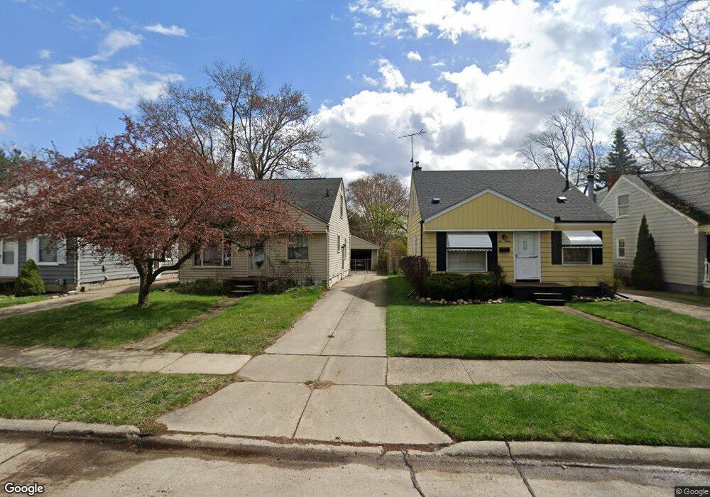
620 Hudson Ave Clawson, MI 48017
Estimated Value: $277,245 - $312,000
4
Beds
2
Baths
1,287
Sq Ft
$234/Sq Ft
Est. Value
About This Home
This home is located at 620 Hudson Ave, Clawson, MI 48017 and is currently estimated at $300,811, approximately $233 per square foot. 620 Hudson Ave is a home located in Oakland County with nearby schools including Clawson High School, Guardian Angels School, and Bishop Foley Catholic High School.
Ownership History
Date
Name
Owned For
Owner Type
Purchase Details
Closed on
Feb 24, 2006
Sold by
Macneil Roy A and Macneil Corinne L
Bought by
Wezner Stephen
Current Estimated Value
Home Financials for this Owner
Home Financials are based on the most recent Mortgage that was taken out on this home.
Original Mortgage
$160,000
Outstanding Balance
$96,083
Interest Rate
7.25%
Mortgage Type
Adjustable Rate Mortgage/ARM
Estimated Equity
$204,728
Purchase Details
Closed on
Sep 30, 1998
Sold by
Clarence G Stiff Tr
Bought by
Macneil Roy A
Create a Home Valuation Report for This Property
The Home Valuation Report is an in-depth analysis detailing your home's value as well as a comparison with similar homes in the area
Home Values in the Area
Average Home Value in this Area
Purchase History
| Date | Buyer | Sale Price | Title Company |
|---|---|---|---|
| Wezner Stephen | $200,000 | Capital Title Ins Agency | |
| Macneil Roy A | $35,000 | -- |
Source: Public Records
Mortgage History
| Date | Status | Borrower | Loan Amount |
|---|---|---|---|
| Open | Wezner Stephen | $160,000 |
Source: Public Records
Tax History Compared to Growth
Tax History
| Year | Tax Paid | Tax Assessment Tax Assessment Total Assessment is a certain percentage of the fair market value that is determined by local assessors to be the total taxable value of land and additions on the property. | Land | Improvement |
|---|---|---|---|---|
| 2024 | $2,559 | $109,160 | $0 | $0 |
| 2023 | $2,454 | $100,440 | $0 | $0 |
| 2022 | $2,473 | $87,310 | $0 | $0 |
| 2021 | $2,423 | $82,040 | $0 | $0 |
| 2020 | $2,347 | $74,600 | $0 | $0 |
| 2019 | $2,426 | $70,130 | $0 | $0 |
| 2018 | $2,408 | $66,590 | $0 | $0 |
| 2017 | $2,394 | $64,650 | $0 | $0 |
| 2016 | $2,430 | $61,340 | $0 | $0 |
| 2015 | -- | $54,210 | $0 | $0 |
| 2014 | -- | $45,190 | $0 | $0 |
| 2011 | -- | $43,750 | $0 | $0 |
Source: Public Records
Map
Nearby Homes
- 927 Goodale Ave
- 359 Sheffield Dr
- 940 Coolidge Ave
- 769 Coolidge Ave
- 925 E 14 Mile Rd
- 325 Lyons Dr
- 25 Lyons Dr
- 1612 Genesee Ave
- 1101 Donald Ave
- 151 Fisher Ct
- 1600 Whitcomb Ave
- 625 Whitcomb Ave
- 0000 Westwood Dr
- 1569 W Whitcomb Ave
- 1247 N Main St
- 632 Millard Ave
- 70 Knollwood Blvd
- 31 Walper Ave
- 000 E Maple Rd
- 42 Gladwin Ave
- 612 Hudson Ave
- 628 Hudson Ave
- 1035 Goodale Ave
- 604 Hudson Ave
- 636 Hudson Ave
- 1045 Goodale Ave
- 644 Hudson Ave
- 652 Hudson Ave
- 1055 Goodale Ave
- 660 Hudson Ave
- 619 Hudson Ave
- 611 Hudson Ave
- 627 Hudson Ave
- 1065 Goodale Ave
- 603 Hudson Ave
- 635 Hudson Ave
- 1010 Goodale Ave
- 1040 Goodale Ave
- 643 Hudson Ave
- 1075 Goodale Ave