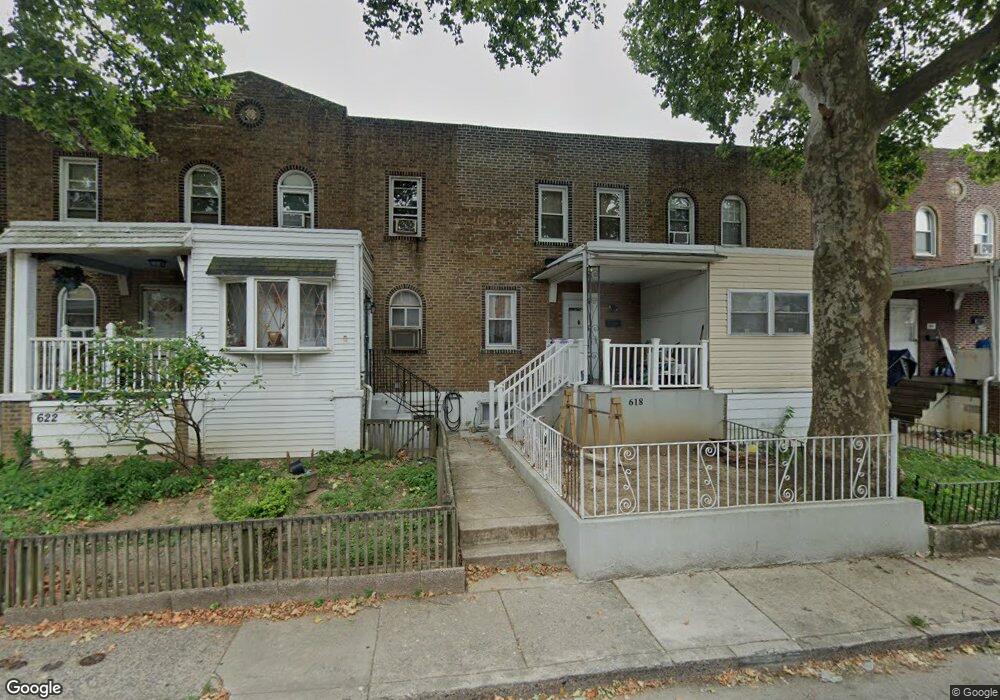
620 Littlecroft Rd Upper Darby, PA 19082
Estimated Value: $109,000 - $128,183
2
Beds
2
Baths
818
Sq Ft
$141/Sq Ft
Est. Value
About This Home
This home is located at 620 Littlecroft Rd, Upper Darby, PA 19082 and is currently estimated at $115,546, approximately $141 per square foot. 620 Littlecroft Rd is a home located in Delaware County with nearby schools including Upper Darby Kdg Center, Upper Darby High School, and Vision Academy Charter School.
Ownership History
Date
Name
Owned For
Owner Type
Purchase Details
Closed on
Nov 27, 2002
Sold by
Dewees Thomas Joseph
Bought by
Bagwell Bridgette
Current Estimated Value
Home Financials for this Owner
Home Financials are based on the most recent Mortgage that was taken out on this home.
Original Mortgage
$48,060
Outstanding Balance
$20,792
Interest Rate
6.34%
Mortgage Type
Purchase Money Mortgage
Estimated Equity
$94,754
Create a Home Valuation Report for This Property
The Home Valuation Report is an in-depth analysis detailing your home's value as well as a comparison with similar homes in the area
Home Values in the Area
Average Home Value in this Area
Purchase History
| Date | Buyer | Sale Price | Title Company |
|---|---|---|---|
| Bagwell Bridgette | $48,815 | -- |
Source: Public Records
Mortgage History
| Date | Status | Borrower | Loan Amount |
|---|---|---|---|
| Open | Bagwell Bridgette | $48,060 |
Source: Public Records
Tax History Compared to Growth
Tax History
| Year | Tax Paid | Tax Assessment Tax Assessment Total Assessment is a certain percentage of the fair market value that is determined by local assessors to be the total taxable value of land and additions on the property. | Land | Improvement |
|---|---|---|---|---|
| 2025 | $2,833 | $66,980 | $17,440 | $49,540 |
| 2024 | $2,833 | $66,980 | $17,440 | $49,540 |
| 2023 | $2,806 | $66,980 | $17,440 | $49,540 |
| 2022 | $2,731 | $66,980 | $17,440 | $49,540 |
| 2021 | $3,682 | $66,980 | $17,440 | $49,540 |
| 2020 | $2,767 | $42,770 | $15,850 | $26,920 |
| 2019 | $2,718 | $42,770 | $15,850 | $26,920 |
| 2018 | $2,687 | $42,770 | $0 | $0 |
| 2017 | $2,617 | $42,770 | $0 | $0 |
| 2016 | $235 | $42,770 | $0 | $0 |
| 2015 | $235 | $42,770 | $0 | $0 |
| 2014 | $235 | $42,770 | $0 | $0 |
Source: Public Records
Map
Nearby Homes
- 7120 Clinton Rd
- 669 Long Ln
- 7155 Radbourne Rd
- 7162 Radbourne Rd
- 607 Littlecroft Rd
- 7139 Guilford Rd
- 6982 Clinton Rd
- 404 Croyden Rd
- 419 Gilpin Rd
- 7066 Clover Ln
- 6948 Clinton Rd
- 577 Snowden Rd
- 346 Long Ln
- 213 1/2 Melrose Ave
- 504 Woodcliffe Rd
- 513 Woodcliffe Rd
- 525 Wiltshire Rd
- 517 Wiltshire Rd
- 7000 Greenwood Ave
- 426 Hampden Rd
- 626 Littlecroft Rd
- 618 Littlecroft Rd
- 630 Littlecroft Rd
- 616 Littlecroft Rd
- 612 Littlecroft Rd
- 636 Littlecroft Rd
- 610 Littlecroft Rd
- 621 Littlecroft Rd
- 603 Littlecroft Rd
- 637 Copley Rd
- 639 Copley Rd
- 635 Copley Rd
- 641 Copley Rd
- 608 Littlecroft Rd
- 619 Littlecroft Rd
- 633 Copley Rd
- 623 Littlecroft Rd
- 617 Littlecroft Rd
- 643 Copley Rd
- 631 Copley Rd