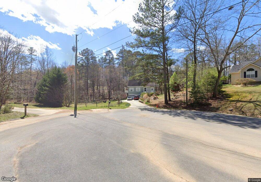
620 Michael Blvd Cedartown, GA 30125
Estimated Value: $282,000 - $300,742
3
Beds
4
Baths
1,740
Sq Ft
$170/Sq Ft
Est. Value
About This Home
This home is located at 620 Michael Blvd, Cedartown, GA 30125 and is currently estimated at $295,436, approximately $169 per square foot. 620 Michael Blvd is a home located in Polk County.
Ownership History
Date
Name
Owned For
Owner Type
Purchase Details
Closed on
Dec 9, 1999
Sold by
Mauldin Robert T
Bought by
Montoya Victoriano G
Current Estimated Value
Purchase Details
Closed on
Apr 13, 1999
Sold by
Williams Roy Lee and Williams Amy D
Bought by
Mauldin Robert T
Purchase Details
Closed on
Sep 3, 1997
Sold by
Florey William T and Florey Susan A
Bought by
Williams Roy Lee and Williams Amy D
Purchase Details
Closed on
Aug 4, 1994
Sold by
Igel Stanley and Jacob Liverant
Bought by
Florey William T and Florey Susan A
Purchase Details
Closed on
Oct 30, 1973
Sold by
Adams Charles W
Bought by
Igel Stanley
Create a Home Valuation Report for This Property
The Home Valuation Report is an in-depth analysis detailing your home's value as well as a comparison with similar homes in the area
Purchase History
| Date | Buyer | Sale Price | Title Company |
|---|---|---|---|
| Montoya Victoriano G | $98,000 | -- | |
| Mauldin Robert T | $6,600 | -- | |
| Williams Roy Lee | $5,900 | -- | |
| Florey William T | $4,100 | -- | |
| Igel Stanley | -- | -- |
Source: Public Records
Tax History
| Year | Tax Paid | Tax Assessment Tax Assessment Total Assessment is a certain percentage of the fair market value that is determined by local assessors to be the total taxable value of land and additions on the property. | Land | Improvement |
|---|---|---|---|---|
| 2025 | $2,553 | $115,469 | $15,200 | $100,269 |
| 2024 | $2,430 | $116,269 | $16,000 | $100,269 |
| 2023 | $1,911 | $80,532 | $16,000 | $64,532 |
| 2022 | $1,417 | $59,710 | $4,120 | $55,590 |
| 2021 | $1,435 | $59,710 | $4,120 | $55,590 |
| 2020 | $1,438 | $59,710 | $4,120 | $55,590 |
| 2019 | $1,106 | $41,201 | $4,000 | $37,201 |
| 2018 | $1,054 | $38,252 | $4,000 | $34,252 |
| 2017 | $1,041 | $38,252 | $4,000 | $34,252 |
| 2016 | $1,016 | $37,342 | $4,000 | $33,342 |
| 2015 | $1,019 | $37,342 | $4,000 | $33,342 |
| 2014 | $1,058 | $38,494 | $4,354 | $34,140 |
Source: Public Records
Map
Nearby Homes
- 354 Michael Blvd
- 387 Michael Blvd
- 425 Chubbtown Rd
- 914 Chubbtown Rd
- 0 Cave Spring Rd Unit 10631588
- 0 Cave Spring Rd Unit 7671027
- 0 Santa Claus Rd Unit 7706526
- 0 Santa Claus Rd Unit 10676218
- 75 Weaver Rd
- 727 Cherokee Rd
- 39 Summerwind Dr
- 208 Silverthorn Way
- 217 Cherokee Cir
- 8 Stonegate Dr
- LOT 21 Cherokee Cir
- 88 Sequoyah Ct
- 8 Sequoyah Ct
- 621 N College Dr
- 413 N College Dr
- 112 College Cir
- 612 Michael Blvd
- 623 Michael Blvd
- 223 Valley Grove Rd
- 480 Michael Blvd
- 591 Michael Blvd
- 24 Paula Ct
- 21 Paula Ct
- 522 Michael Blvd
- 40 Paula Ct
- 519 Michael Blvd
- 23 Paula Ct
- 41 Paula Ct
- 491 Michael Blvd
- 476 Michael Blvd
- 179 Valley Grove Rd
- 421 Michael Blvd
- 403 Michael Blvd
- 401 Michael Blvd
- 442 Michael Blvd
- 163 Valley Grove Rd
Your Personal Tour Guide
Ask me questions while you tour the home.