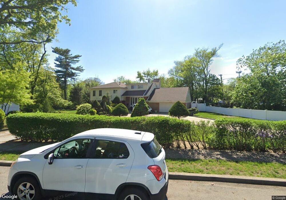
620 Mohawk Rd West Hempstead, NY 11552
Estimated Value: $1,138,000 - $1,141,676
Studio
3
Baths
2,547
Sq Ft
$448/Sq Ft
Est. Value
About This Home
This home is located at 620 Mohawk Rd, West Hempstead, NY 11552 and is currently estimated at $1,139,838, approximately $447 per square foot. 620 Mohawk Rd is a home located in Nassau County with nearby schools including Chestnut Street School, West Hempstead Middle School, and West Hempstead Secondary School.
Ownership History
Date
Name
Owned For
Owner Type
Purchase Details
Closed on
Aug 26, 1999
Sold by
Bedard Joel and Bedard Dawn
Bought by
Bedard Dawn
Current Estimated Value
Home Financials for this Owner
Home Financials are based on the most recent Mortgage that was taken out on this home.
Original Mortgage
$255,000
Interest Rate
7.27%
Mortgage Type
Purchase Money Mortgage
Purchase Details
Closed on
Mar 5, 1998
Create a Home Valuation Report for This Property
The Home Valuation Report is an in-depth analysis detailing your home's value as well as a comparison with similar homes in the area
Home Values in the Area
Average Home Value in this Area
Purchase History
| Date | Buyer | Sale Price | Title Company |
|---|---|---|---|
| Bedard Dawn | -- | First American Title Ins Co | |
| Bedard Dawn | -- | First American Title Ins Co | |
| Bedard Dawn | -- | First American Title Ins Co | |
| Bedard Dawn | -- | First American Title Ins Co | |
| -- | -- | -- | |
| -- | -- | -- |
Source: Public Records
Mortgage History
| Date | Status | Borrower | Loan Amount |
|---|---|---|---|
| Closed | Bedard Dawn | $255,000 |
Source: Public Records
Tax History
| Year | Tax Paid | Tax Assessment Tax Assessment Total Assessment is a certain percentage of the fair market value that is determined by local assessors to be the total taxable value of land and additions on the property. | Land | Improvement |
|---|---|---|---|---|
| 2025 | $20,032 | $728 | $227 | $501 |
| 2024 | $5,997 | $694 | $227 | $467 |
Source: Public Records
Map
Nearby Homes
- 1010 Hempstead Ave
- 824 Lawrence Ct
- 945 Derrick Adkins Ln
- 771 Maple Place
- 815 Iris Place
- 450 Rhodes Ln
- 853 Arthur St
- 485 Barbara Ln
- 837 Cleveland St
- 618 Wall St
- 846 Harrison St
- 486 Champlain Ave
- 851 Hemlock St
- 601 Chautauqua Ave
- 7 Hopatcong Ave
- 841 Woodfield Rd
- 1024 Mahopac Rd
- 480 Hopatcong Ave
- 582 Gaynor Place
- 28 Saint Thomas Place
Your Personal Tour Guide
Ask me questions while you tour the home.