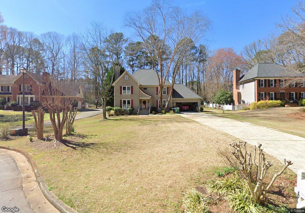
620 Mountainbrooke Cir Stone Mountain, GA 30087
Estimated Value: $467,000 - $527,000
4
Beds
3
Baths
2,422
Sq Ft
$207/Sq Ft
Est. Value
About This Home
This home is located at 620 Mountainbrooke Cir, Stone Mountain, GA 30087 and is currently estimated at $501,769, approximately $207 per square foot. 620 Mountainbrooke Cir is a home located in Gwinnett County with nearby schools including Camp Creek Elementary School, Trickum Middle School, and Parkview High School.
Ownership History
Date
Name
Owned For
Owner Type
Purchase Details
Closed on
Sep 28, 2000
Sold by
Martin Joe W
Bought by
Mullins Bradley J and Mullins Angelina E
Current Estimated Value
Home Financials for this Owner
Home Financials are based on the most recent Mortgage that was taken out on this home.
Original Mortgage
$180,000
Outstanding Balance
$64,114
Interest Rate
7.97%
Mortgage Type
New Conventional
Estimated Equity
$437,655
Create a Home Valuation Report for This Property
The Home Valuation Report is an in-depth analysis detailing your home's value as well as a comparison with similar homes in the area
Home Values in the Area
Average Home Value in this Area
Purchase History
| Date | Buyer | Sale Price | Title Company |
|---|---|---|---|
| Mullins Bradley J | $200,000 | -- |
Source: Public Records
Mortgage History
| Date | Status | Borrower | Loan Amount |
|---|---|---|---|
| Open | Mullins Bradley J | $180,000 |
Source: Public Records
Tax History Compared to Growth
Tax History
| Year | Tax Paid | Tax Assessment Tax Assessment Total Assessment is a certain percentage of the fair market value that is determined by local assessors to be the total taxable value of land and additions on the property. | Land | Improvement |
|---|---|---|---|---|
| 2025 | $4,951 | $189,280 | $36,000 | $153,280 |
| 2024 | $5,465 | $207,320 | $36,000 | $171,320 |
| 2023 | $5,465 | $180,360 | $39,640 | $140,720 |
| 2022 | $4,400 | $157,400 | $34,800 | $122,600 |
| 2021 | $3,724 | $121,680 | $23,600 | $98,080 |
| 2020 | $3,752 | $121,680 | $23,600 | $98,080 |
| 2019 | $3,664 | $121,680 | $23,600 | $98,080 |
| 2018 | $3,337 | $106,320 | $18,400 | $87,920 |
| 2016 | $3,216 | $99,640 | $18,400 | $81,240 |
| 2015 | $3,242 | $99,640 | $18,400 | $81,240 |
| 2014 | -- | $85,360 | $10,000 | $75,360 |
Source: Public Records
Map
Nearby Homes
- 771 Mountainbrooke Cir SW
- 851 Rockbridge Rd SW
- 1019 Crestwood Ln
- 923 Tall Pine Ct SW
- 881 Rockbridge Rd SW
- 717 Oxford Ct SW
- 5774 Vantage Ct
- 746 Oxford Ct SW
- 5936 Millstone Ln
- 5798 Musket Ln
- 5632 Stillwater Ct
- 811 Sweet Pine Brook
- 483 Rollingwood Dr
- 6268 Old Stone Mountain Rd
- 5104 Onawa Ct SW
- 507 Castlearie Dr
- 507 Castleaire Dr Unit 1
- 1334 Jennie Ln SW
- 1777 E Gate Trail
- 630 Mountainbrooke Cir
- 610 Mountainbrooke Cir
- 610 Mountainbrooke Cir SW
- 5576 Mountainbrooke Ct
- 600 Mountainbrooke Cir
- 5566 Mountainbrooke Ct
- 920 Old Tucker Rd
- 926 Old Tucker Rd
- 888 Woodland Ct
- 590 Mountainbrooke Cir
- 910 Old Tucker Rd
- 878 Woodland Ct Unit 3
- 930 Old Tucker Rd
- 591 Mountainbrooke Cir
- 924 Old Tucker Rd
- 651 Mountainbrooke Cir SW
- 651 Mountainbrooke Cir
- 940 Old Tucker Rd
- 0 Shadow View Dr
- 0 Shadow View Dr Unit 7477010