620 N 1200 W Blackfoot, ID 83221
Estimated Value: $381,000 - $520,000
3
Beds
2
Baths
1,158
Sq Ft
$378/Sq Ft
Est. Value
About This Home
This home is located at 620 N 1200 W, Blackfoot, ID 83221 and is currently estimated at $438,191, approximately $378 per square foot. 620 N 1200 W is a home with nearby schools including Moreland Elementary School, Riverside Elementary School, and Rockford Elementary School.
Create a Home Valuation Report for This Property
The Home Valuation Report is an in-depth analysis detailing your home's value as well as a comparison with similar homes in the area
Home Values in the Area
Average Home Value in this Area
Tax History Compared to Growth
Tax History
| Year | Tax Paid | Tax Assessment Tax Assessment Total Assessment is a certain percentage of the fair market value that is determined by local assessors to be the total taxable value of land and additions on the property. | Land | Improvement |
|---|---|---|---|---|
| 2025 | $1,846 | $325,263 | $70,000 | $255,263 |
| 2024 | $1,846 | $310,434 | $55,000 | $255,434 |
| 2023 | $339 | $55,321 | $55,000 | $321 |
| 2022 | $5 | $386 | $0 | $386 |
| 2021 | $1 | $42 | $0 | $42 |
| 2020 | $1 | $42 | $0 | $0 |
| 2019 | $1 | $42 | $0 | $0 |
| 2018 | $1 | $42 | $42 | $0 |
| 2017 | $1 | $42 | $42 | $0 |
| 2016 | $1 | $42 | $0 | $0 |
| 2015 | $16 | $42 | $0 | $0 |
| 2014 | $16 | $1,151 | $1,151 | $0 |
Source: Public Records
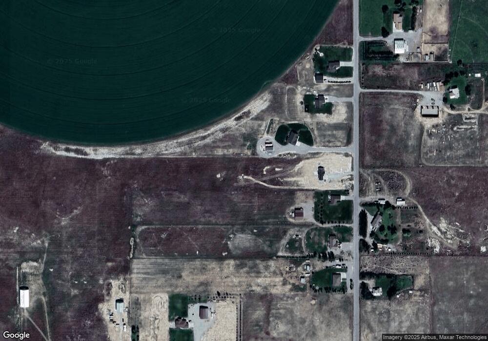
Map
Nearby Homes
- 624 N 1200 W
- 628 N 1200 W
- 600 N 1200 West - Parcel 84
- 618 N 1200 W
- 600 N 1200 West - Parcel 86
- 614 N 1200 W
- 632 N 1200 W
- 617 N 1200 W
- 600 N 1200 West - Parcel 85
- 610 N 1200 W
- 600 N 1200 West - Parcel 81
- 1212 W 600 N
- 607 N 1200 W
- 635 N 1200 W
- 600 N 1200 West - Parcel 83
- 631 N 1200 W
- 647 N 1200 W
- 1181 W Highway 26
- 1181 U S 26
- 1173 W Highway 26