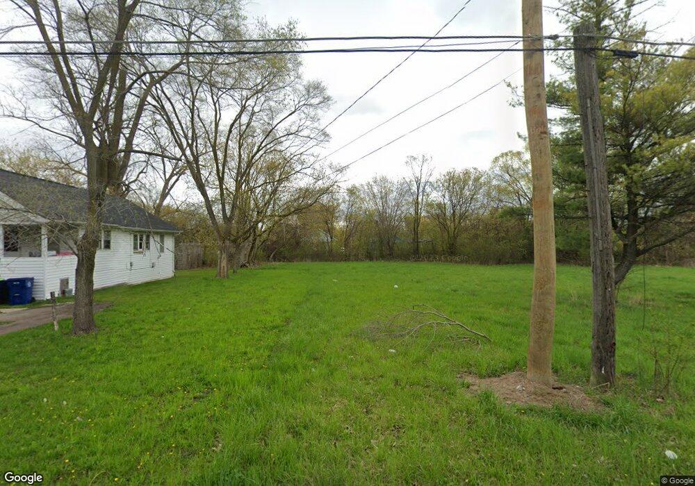
620 N 24th St Saginaw, MI 48601
Buena Vista NeighborhoodEstimated Value: $63,000 - $160,000
3
Beds
1
Bath
684
Sq Ft
$163/Sq Ft
Est. Value
About This Home
This home is located at 620 N 24th St, Saginaw, MI 48601 and is currently estimated at $111,500, approximately $163 per square foot. 620 N 24th St is a home located in Saginaw County with nearby schools including Thompson Middle School, Saginaw United High School, and Saginaw Learn To Earn Academy.
Ownership History
Date
Name
Owned For
Owner Type
Purchase Details
Closed on
Aug 29, 2014
Sold by
Saginaw County Treasurer
Bought by
Saginaw County Land Bank Authority
Current Estimated Value
Purchase Details
Closed on
Aug 1, 2009
Sold by
Twe Real Estate
Bought by
Dottery Steven
Purchase Details
Closed on
Dec 8, 2008
Sold by
Ouellette Ouellette R and Ouellette Kristine
Bought by
Twe Real Estate Llc
Purchase Details
Closed on
Dec 1, 2007
Sold by
Figg Brent
Bought by
Ouellette R B
Purchase Details
Closed on
Dec 8, 2006
Sold by
Ouellette R B
Bought by
Figg Brent
Purchase Details
Closed on
Jul 30, 2001
Sold by
Habitat For Humanity Detroit
Bought by
Rapp Anthony
Purchase Details
Closed on
Sep 20, 2000
Sold by
Archambeau Otto I and Archambeau Delores
Bought by
Habitat For Humanity Detroit
Create a Home Valuation Report for This Property
The Home Valuation Report is an in-depth analysis detailing your home's value as well as a comparison with similar homes in the area
Home Values in the Area
Average Home Value in this Area
Purchase History
| Date | Buyer | Sale Price | Title Company |
|---|---|---|---|
| Saginaw County Land Bank Authority | $1,846 | -- | |
| Dottery Steven | $7,000 | -- | |
| Twe Real Estate Llc | $4,500 | -- | |
| Ouellette R B | -- | -- | |
| Figg Brent | $8,000 | -- | |
| Ouellette R B | $5,500 | -- | |
| Rapp Anthony | $2,000 | -- | |
| Habitat For Humanity Detroit | -- | -- |
Source: Public Records
Tax History Compared to Growth
Tax History
| Year | Tax Paid | Tax Assessment Tax Assessment Total Assessment is a certain percentage of the fair market value that is determined by local assessors to be the total taxable value of land and additions on the property. | Land | Improvement |
|---|---|---|---|---|
| 2025 | -- | $0 | $0 | $0 |
| 2024 | -- | $0 | $0 | $0 |
| 2023 | -- | $0 | $0 | $0 |
| 2022 | $0 | $0 | $0 | $0 |
| 2021 | $306 | $0 | $0 | $0 |
| 2020 | $306 | $0 | $0 | $0 |
| 2019 | $306 | $0 | $0 | $0 |
| 2018 | $0 | $0 | $0 | $0 |
| 2017 | $0 | $0 | $0 | $0 |
| 2016 | $0 | $0 | $0 | $0 |
| 2014 | -- | $4,600 | $0 | $4,200 |
| 2013 | -- | $4,400 | $0 | $0 |
Source: Public Records
Map
Nearby Homes
- 3 Harmony Ct
- 824 N 26th St
- 631 Cathay St
- 1810 Carroll St
- 427 S 24th St
- 436 S 27th St
- 206 S 13th St
- 3361 Burt St
- 523 S 28th St
- 523 S 29th St
- 1346 Carlisle St
- 524 S 14th St
- 441 S 11th St
- 2420 Bancroft St
- 346 S 7th St
- 1919 Perkins St
- 3810 Janes Rd
- 924 Federal Ave
- 1300 Walnut St
- 1103,1107,1111,1115 S Park Ave