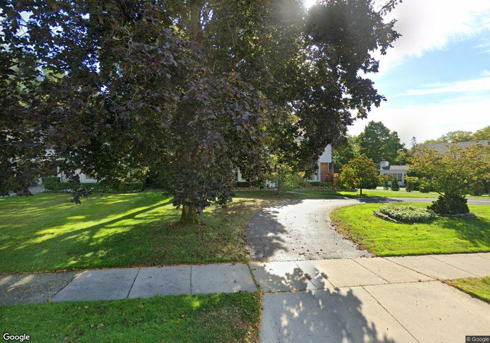
620 N Cranbrook Rd Bloomfield Hills, MI 48301
Estimated Value: $456,299 - $495,000
4
Beds
2
Baths
1,296
Sq Ft
$363/Sq Ft
Est. Value
About This Home
This home is located at 620 N Cranbrook Rd, Bloomfield Hills, MI 48301 and is currently estimated at $470,325, approximately $362 per square foot. 620 N Cranbrook Rd is a home located in Oakland County with nearby schools including Quarton Elementary, Derby Middle School, and Ernest W. Seaholm High School.
Ownership History
Date
Name
Owned For
Owner Type
Purchase Details
Closed on
Jan 6, 2015
Sold by
Delpizzo Marco E and Delpizzo Christina M
Bought by
Halutore Desikachar
Current Estimated Value
Purchase Details
Closed on
Mar 28, 2013
Sold by
Vance Brady
Bought by
Delpizzo Marco E and Delpizzo Christina M
Home Financials for this Owner
Home Financials are based on the most recent Mortgage that was taken out on this home.
Original Mortgage
$176,700
Interest Rate
3.46%
Mortgage Type
New Conventional
Purchase Details
Closed on
Aug 11, 2008
Sold by
Ferrante Maria Teresa
Bought by
Vance Brady
Purchase Details
Closed on
Jul 24, 1995
Sold by
Tisler Regina
Bought by
Ferrante Maria T
Home Financials for this Owner
Home Financials are based on the most recent Mortgage that was taken out on this home.
Original Mortgage
$93,100
Interest Rate
7.75%
Mortgage Type
New Conventional
Create a Home Valuation Report for This Property
The Home Valuation Report is an in-depth analysis detailing your home's value as well as a comparison with similar homes in the area
Home Values in the Area
Average Home Value in this Area
Purchase History
| Date | Buyer | Sale Price | Title Company |
|---|---|---|---|
| Halutore Desikachar | $218,000 | Devonshire Title Agency | |
| Delpizzo Marco E | $186,000 | None Available | |
| Vance Brady | $157,000 | None Available | |
| Ferrante Maria T | $133,000 | -- |
Source: Public Records
Mortgage History
| Date | Status | Borrower | Loan Amount |
|---|---|---|---|
| Previous Owner | Delpizzo Marco E | $176,700 | |
| Previous Owner | Ferrante Maria T | $93,100 |
Source: Public Records
Tax History Compared to Growth
Tax History
| Year | Tax Paid | Tax Assessment Tax Assessment Total Assessment is a certain percentage of the fair market value that is determined by local assessors to be the total taxable value of land and additions on the property. | Land | Improvement |
|---|---|---|---|---|
| 2024 | $3,561 | $179,450 | $0 | $0 |
| 2023 | $3,418 | $163,120 | $0 | $0 |
| 2022 | $5,741 | $159,880 | $0 | $0 |
| 2021 | $7,367 | $158,920 | $0 | $0 |
| 2020 | $2,767 | $147,940 | $0 | $0 |
| 2019 | $5,965 | $136,740 | $0 | $0 |
| 2018 | $5,802 | $124,150 | $0 | $0 |
| 2017 | $7,057 | $121,160 | $0 | $0 |
| 2016 | $7,118 | $116,280 | $0 | $0 |
| 2015 | -- | $104,050 | $0 | $0 |
| 2014 | -- | $89,410 | $0 | $0 |
| 2011 | -- | $82,770 | $0 | $0 |
Source: Public Records
Map
Nearby Homes
- 1019 N Cranbrook Rd
- 2579 Amberly Rd
- 956 Westwood Dr
- 1882 Melbourne St
- 345 Kimberly St
- 1834 Fairview St
- 120 Westchester Way
- 1120 Lyonhurst St
- 586 Fairfax St
- 1260 Lyonhurst St
- 397 S Cranbrook Rd
- 394 S Glenhurst Dr
- 1056 Pilgrim Ave
- 222 Arlington St
- 421 S Williamsbury Rd
- 100 Overhill Rd
- 520 Pleasant St
- 695 Westchester Way
- 3320 Morningview Terrace
- 2802 Heathfield Rd
- 620 N Cranbrook Rd
- 656 N Cranbrook Rd
- 2276 Pine St
- 506 Tilbury Rd
- 684 N Cranbrook Rd Unit Bldg-Unit
- 684 N Cranbrook Rd
- 2258 Pine St
- 627 Waddington St
- 667 Waddington St
- 736 N Cranbrook Rd
- 2234 Pine St
- 655 N Cranbrook Rd
- 611 N Cranbrook Rd
- 583 N Cranbrook Rd
- 490 Tilbury Rd Unit Bldg-Unit
- 490 Tilbury Rd
- 707 Waddington St
- 2216 Pine St
- 2243 Pine St
- 770 N Cranbrook Rd