620 N Garrett Branch Rd Ellijay, GA 30536
Estimated Value: $301,700 - $438,000
2
Beds
2
Baths
1,344
Sq Ft
$281/Sq Ft
Est. Value
About This Home
This home is located at 620 N Garrett Branch Rd, Ellijay, GA 30536 and is currently estimated at $377,925, approximately $281 per square foot. 620 N Garrett Branch Rd is a home located in Gilmer County with nearby schools including Ellijay Elementary School, Clear Creek Elementary School, and Gilmer Middle School.
Ownership History
Date
Name
Owned For
Owner Type
Purchase Details
Closed on
May 8, 2006
Sold by
Grace Julee Ann
Bought by
Grace Kirk
Current Estimated Value
Purchase Details
Closed on
Sep 30, 2005
Sold by
Weaver Carol A
Bought by
Grace Richard Kirk and Grace Julee Ann
Home Financials for this Owner
Home Financials are based on the most recent Mortgage that was taken out on this home.
Original Mortgage
$132,720
Outstanding Balance
$84,989
Interest Rate
9.4%
Mortgage Type
New Conventional
Estimated Equity
$292,936
Purchase Details
Closed on
Jun 1, 1994
Bought by
Weaver Carol
Create a Home Valuation Report for This Property
The Home Valuation Report is an in-depth analysis detailing your home's value as well as a comparison with similar homes in the area
Home Values in the Area
Average Home Value in this Area
Purchase History
| Date | Buyer | Sale Price | Title Company |
|---|---|---|---|
| Grace Kirk | -- | -- | |
| Grace Richard Kirk | $165,900 | -- | |
| Weaver Carol | -- | -- |
Source: Public Records
Mortgage History
| Date | Status | Borrower | Loan Amount |
|---|---|---|---|
| Open | Grace Richard Kirk | $132,720 |
Source: Public Records
Tax History Compared to Growth
Tax History
| Year | Tax Paid | Tax Assessment Tax Assessment Total Assessment is a certain percentage of the fair market value that is determined by local assessors to be the total taxable value of land and additions on the property. | Land | Improvement |
|---|---|---|---|---|
| 2025 | $887 | $70,108 | $20,160 | $49,948 |
| 2024 | $887 | $68,312 | $18,280 | $50,032 |
| 2023 | $889 | $65,552 | $15,520 | $50,032 |
| 2022 | $854 | $53,672 | $11,760 | $41,912 |
| 2021 | $870 | $46,184 | $10,760 | $35,424 |
| 2020 | $842 | $40,160 | $10,640 | $29,520 |
| 2019 | $867 | $40,160 | $10,640 | $29,520 |
| 2018 | $801 | $36,768 | $8,880 | $27,888 |
| 2017 | $715 | $30,920 | $8,880 | $22,040 |
| 2016 | $706 | $30,008 | $7,200 | $22,808 |
| 2015 | $702 | $30,384 | $11,200 | $19,184 |
| 2014 | $733 | $30,544 | $11,200 | $19,344 |
| 2013 | -- | $31,120 | $11,200 | $19,920 |
Source: Public Records
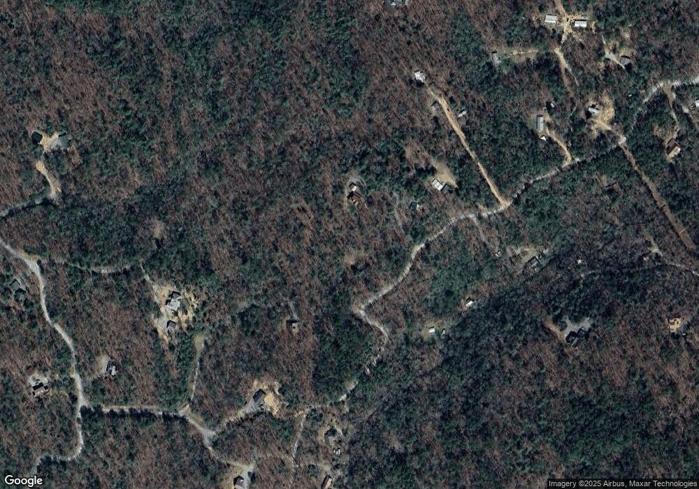
Map
Nearby Homes
- 0 Garrett Branch Cir
- 34 Garrett Branch Cir
- 19.44 Mt McGurder Rd
- 17 AC McGruder Rd
- Lot 33 E Ridge Ln
- 17.67 Rainbow Ridge Dr
- 17.67 AC Rainbow Ridge Dr
- Lot 32 E Ridge Ln
- 20 AC Hidaway Dr
- 10712 Doublehead Gap Rd
- Lot 1A Colbert Mountain Rd
- 260 Observation Ln
- 0 Willard Mountain Rd Unit 10639561
- 108 Red Hawk Trail
- 0 Nocona Trail
- 49 Emmaus Walk
- 989 New Liberty Rd
- 940 Fowler Rd
- 71 Hidden Valley Dr S
- 29 AC Hidden Valley Dr
- 494 N Garrett Branch Rd
- 581 N Garrett Branch Rd
- 253 Forest Ct
- 495 N Garrett Branch Rd
- 0 Lost Forest Rd Unit 140397
- 0 Lost Forest Rd Unit 8942877
- 1063 N Garrett Branch Rd
- 258 Forest Ct
- 259 N Garrett Branch Rd
- 879 Can Town Rd
- 242 Fox Paw Leaf Ct
- 242 Fox Paw Leaf Ct Unit Lot 10
- 242 Fox Paw Leaf Ct
- 6443 Big Creek Rd
- 243 Garrett Branch Rd
- 510 Cantown Rd
- 339 Lost Forest Rd
- 510 Wing Cir
- 270 Jesses Way
- 270 Jesses Way