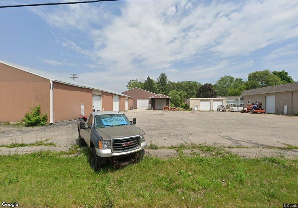
620 N Main St Wayland, MI 49348
Estimated Value: $290,428
Studio
--
Bath
5,250
Sq Ft
$55/Sq Ft
Est. Value
About This Home
This home is located at 620 N Main St, Wayland, MI 49348 and is currently estimated at $290,428, approximately $55 per square foot. 620 N Main St is a home located in Allegan County with nearby schools including Wayland High School and St. Therese Catholic School.
Ownership History
Date
Name
Owned For
Owner Type
Purchase Details
Closed on
Nov 1, 2021
Sold by
Jester Llc
Bought by
L And M Llc
Current Estimated Value
Purchase Details
Closed on
Sep 26, 2016
Sold by
Jester Llc
Bought by
L & M Llc
Purchase Details
Closed on
Mar 12, 2012
Sold by
Co Jester Llc
Bought by
Jester Llc
Purchase Details
Closed on
Dec 17, 2004
Sold by
B & J Co
Bought by
Jester Llc
Home Financials for this Owner
Home Financials are based on the most recent Mortgage that was taken out on this home.
Original Mortgage
$300,000
Interest Rate
5.82%
Mortgage Type
Future Advance Clause Open End Mortgage
Create a Home Valuation Report for This Property
The Home Valuation Report is an in-depth analysis detailing your home's value as well as a comparison with similar homes in the area
Home Values in the Area
Average Home Value in this Area
Purchase History
| Date | Buyer | Sale Price | Title Company |
|---|---|---|---|
| L And M Llc | $225,000 | None Available | |
| L & M Llc | -- | None Available | |
| Jester Llc | -- | None Available | |
| Jester Llc | -- | -- | |
| Jester Llc | -- | -- |
Source: Public Records
Mortgage History
| Date | Status | Borrower | Loan Amount |
|---|---|---|---|
| Previous Owner | Jester Llc | $300,000 |
Source: Public Records
Tax History
| Year | Tax Paid | Tax Assessment Tax Assessment Total Assessment is a certain percentage of the fair market value that is determined by local assessors to be the total taxable value of land and additions on the property. | Land | Improvement |
|---|---|---|---|---|
| 2025 | $9,170 | $157,900 | $23,700 | $134,200 |
| 2024 | $8,318 | $159,300 | $23,200 | $136,100 |
| 2023 | $8,318 | $150,400 | $18,100 | $132,300 |
| 2022 | $8,318 | $138,200 | $15,900 | $122,300 |
| 2020 | $7,872 | $127,500 | $15,900 | $111,600 |
| 2019 | $0 | $128,300 | $15,900 | $112,400 |
| 2018 | $0 | $130,900 | $15,900 | $115,000 |
| 2017 | $0 | $138,000 | $15,900 | $122,100 |
| 2016 | $0 | $137,500 | $15,900 | $121,600 |
| 2015 | -- | $137,500 | $15,900 | $121,600 |
| 2014 | -- | $145,800 | $19,800 | $126,000 |
| 2013 | -- | $134,000 | $19,800 | $114,200 |
Source: Public Records
Map
Nearby Homes
- 545 N Main St
- 3770 Division Ave S
- 207 S Locust St
- 603 W Maple St
- 146 Hanlon Ct
- 518 Lawrence Ave Unit 5
- 1137 Regina Trail
- 401 Anderson Dr
- 3569 Quebec Trail
- 535 135th Ave
- 816 Geneva Dr
- 3382 13th St
- 3905 Sunset View
- 3214 7th St
- 703 140th Ave
- 1585 135th Ave
- 4251 Butternut Dr
- Lot 120 Old Farm Dr
- 4257 Old Farm Dr
- 4283 Butternut Dr
Your Personal Tour Guide
Ask me questions while you tour the home.