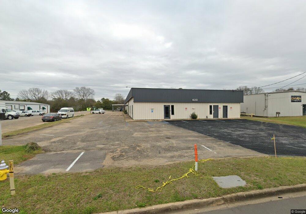
620 Oliver Rd Unit E Montgomery, AL 36117
East Montgomery NeighborhoodEstimated Value: $524,090
--
Bed
3
Baths
1,000
Sq Ft
$524/Sq Ft
Est. Value
About This Home
This home is located at 620 Oliver Rd Unit E, Montgomery, AL 36117 and is currently priced at $524,090, approximately $524 per square foot. 620 Oliver Rd Unit E is a home located in Montgomery County with nearby schools including Wares Ferry Road Elementary School, Goodwyn Middle School, and Dr. Percy L. Julian High School.
Ownership History
Date
Name
Owned For
Owner Type
Purchase Details
Closed on
Mar 31, 2025
Sold by
Decar Property Llc
Bought by
George A Phillips Family Trust and Phillips
Current Estimated Value
Purchase Details
Closed on
Jan 31, 2019
Sold by
Decarteel Properties
Bought by
Decar Property Llc
Purchase Details
Closed on
Nov 29, 2018
Sold by
Decarteel Properties
Bought by
Decarteel Properties
Create a Home Valuation Report for This Property
The Home Valuation Report is an in-depth analysis detailing your home's value as well as a comparison with similar homes in the area
Home Values in the Area
Average Home Value in this Area
Purchase History
| Date | Buyer | Sale Price | Title Company |
|---|---|---|---|
| George A Phillips Family Trust | -- | None Listed On Document | |
| George A Phillips Family Trust | -- | None Listed On Document | |
| Decar Property Llc | $380,000 | None Available | |
| Decarteel Properties | $30,000 | None Available |
Source: Public Records
Tax History Compared to Growth
Tax History
| Year | Tax Paid | Tax Assessment Tax Assessment Total Assessment is a certain percentage of the fair market value that is determined by local assessors to be the total taxable value of land and additions on the property. | Land | Improvement |
|---|---|---|---|---|
| 2024 | $3,318 | $67,340 | $18,380 | $48,960 |
| 2023 | $3,318 | $67,340 | $18,380 | $48,960 |
| 2022 | $2,458 | $67,340 | $18,380 | $48,960 |
| 2021 | $2,076 | $56,880 | $18,380 | $38,500 |
| 2020 | $2,076 | $56,880 | $18,380 | $38,500 |
| 2019 | $2,076 | $56,880 | $18,380 | $38,500 |
| 2018 | $2,772 | $75,940 | $0 | $0 |
| 2017 | $2,330 | $63,840 | $18,380 | $45,460 |
| 2014 | $3,147 | $86,220 | $18,380 | $67,840 |
| 2013 | -- | $83,420 | $22,060 | $61,360 |
Source: Public Records
Map
Nearby Homes
- 749 Amity Ln
- 5737 Darien Dr
- 5743 Belleau Dr
- 576 Dunbarton Rd
- 709 Balfour Rd
- 5821 Hyde Park Dr
- 767 N Burbank Dr
- 532 Lynnhurst Ct
- 0 Wares Ferry Rd
- 5728 Sweet Meadow Dr
- 5805 Acacia Ct
- 0000 N Burbank Dr
- 612 Planters Ct
- 452 Planters Rd
- 6201 Dalford Dr
- 6119 Hinchcliff Rd
- 6429 Sandy Ridge Curve
- 6241 Wares Ferry Rd
- 1308 Dunbarton Rd
- 6265 Wares Ferry Rd
- 620 Oliver Rd Unit C1
- 620 Oliver Rd Unit D-1
- 833 Dunbarton Rd
- 829 Dunbarton Rd
- 837 Dunbarton Rd
- 825 Dunbarton Rd
- 841 Dunbarton Rd
- 821 Dunbarton Rd
- 845 Dunbarton Rd
- 817 Dunbarton Rd
- 849 Dunbarton Rd
- 813 Dunbarton Rd
- 853 Dunbarton Rd
- 805 Dunbarton Rd
- 857 Dunbarton Rd
- 832 Dunbarton Rd
- 828 Dunbarton Rd
- 836 Dunbarton Rd
- 824 Dunbarton Rd
- 840 Dunbarton Rd