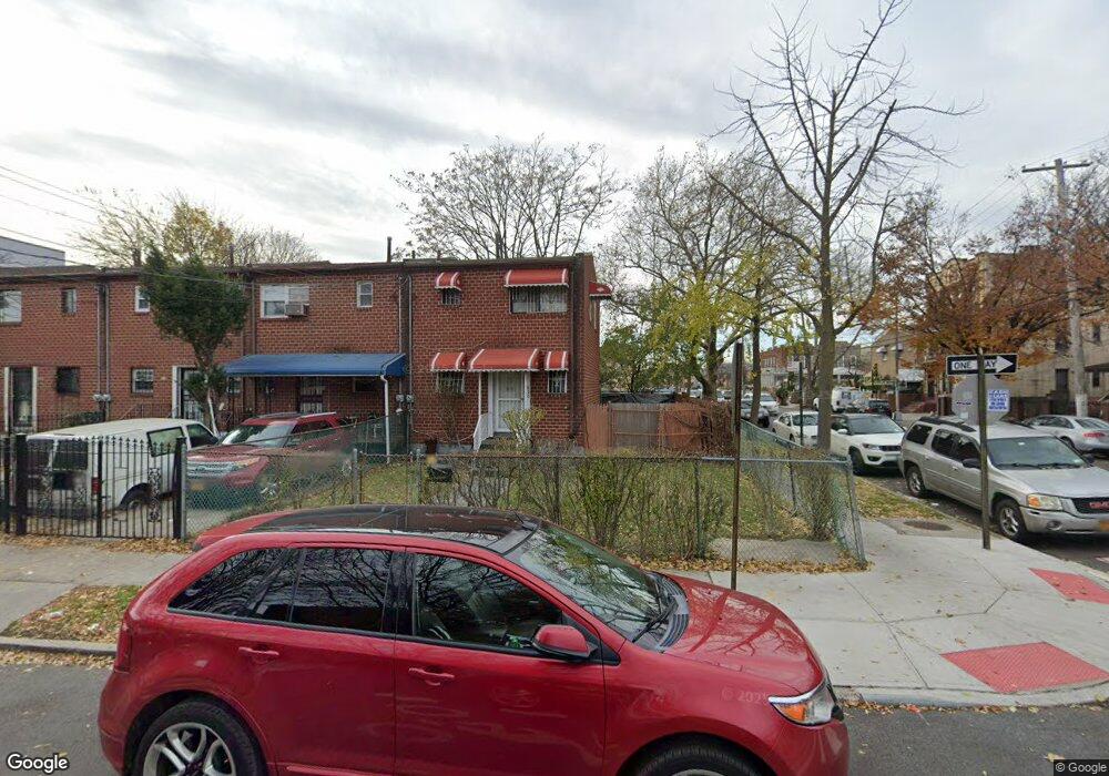
620 Powell St Brooklyn, NY 11212
Brownsville NeighborhoodEstimated Value: $562,749 - $603,000
Studio
--
Bath
1,116
Sq Ft
$523/Sq Ft
Est. Value
About This Home
This home is located at 620 Powell St, Brooklyn, NY 11212 and is currently estimated at $583,187, approximately $522 per square foot. 620 Powell St is a home located in Kings County with nearby schools including P.S. 165 Ida Posner, P.S. 150 - Christopher, and P.S. Is 155 Nicholas Herkimer.
Ownership History
Date
Name
Owned For
Owner Type
Purchase Details
Closed on
Apr 11, 1997
Sold by
Pena Pedro J
Bought by
Ebron Leroy J
Current Estimated Value
Home Financials for this Owner
Home Financials are based on the most recent Mortgage that was taken out on this home.
Original Mortgage
$141,616
Outstanding Balance
$18,615
Interest Rate
8.08%
Mortgage Type
FHA
Estimated Equity
$564,572
Create a Home Valuation Report for This Property
The Home Valuation Report is an in-depth analysis detailing your home's value as well as a comparison with similar homes in the area
Home Values in the Area
Average Home Value in this Area
Purchase History
| Date | Buyer | Sale Price | Title Company |
|---|---|---|---|
| Ebron Leroy J | $143,000 | -- |
Source: Public Records
Mortgage History
| Date | Status | Borrower | Loan Amount |
|---|---|---|---|
| Open | Ebron Leroy J | $141,616 |
Source: Public Records
Tax History
| Year | Tax Paid | Tax Assessment Tax Assessment Total Assessment is a certain percentage of the fair market value that is determined by local assessors to be the total taxable value of land and additions on the property. | Land | Improvement |
|---|---|---|---|---|
| 2025 | $4,798 | $31,740 | $14,400 | $17,340 |
| 2024 | $4,798 | $31,080 | $14,400 | $16,680 |
| 2023 | $4,670 | $36,300 | $14,400 | $21,900 |
| 2022 | $4,331 | $30,780 | $14,400 | $16,380 |
| 2021 | $4,566 | $30,960 | $14,400 | $16,560 |
| 2019 | $4,164 | $26,400 | $14,400 | $12,000 |
| 2018 | $3,907 | $19,164 | $8,184 | $10,980 |
| 2017 | $3,686 | $18,080 | $10,307 | $7,773 |
| 2016 | $3,614 | $18,080 | $12,651 | $5,429 |
| 2015 | $2,057 | $17,583 | $11,235 | $6,348 |
| 2014 | $2,057 | $16,588 | $9,293 | $7,295 |
Source: Public Records
Map
Nearby Homes
- 592 Powell St
- 699 Sackman St
- 555 Christopher Ave
- 546 Powell St
- 797 Mother Gaston Blvd
- 578 Christopher Ave
- 584 Hinsdale St
- 502 Powell St
- 1753 Linden Blvd
- 1755 Linden Blvd
- 589 Hinsdale St
- 650 Williams Ave
- 660 Williams Ave
- 533 Snediker Ave
- 582 Williams Ave
- 578 Williams Ave
- 610 Alabama Ave
- 606 Alabama Ave
- 770 Snediker Ave
- 90 Louisiana Ave
Your Personal Tour Guide
Ask me questions while you tour the home.