620 Prescott Ln West Fargo, ND 58078
Eagle Run NeighborhoodEstimated Value: $416,000 - $485,000
5
Beds
2
Baths
2,964
Sq Ft
$154/Sq Ft
Est. Value
About This Home
This home is located at 620 Prescott Ln, West Fargo, ND 58078 and is currently estimated at $456,611, approximately $154 per square foot. 620 Prescott Ln is a home located in Cass County with nearby schools including Aurora Elementary School, Liberty Middle School, and West Fargo Sheyenne High School.
Ownership History
Date
Name
Owned For
Owner Type
Purchase Details
Closed on
May 29, 2007
Sold by
Schwandt Jill V and Schwandt Nathan
Bought by
Miller Roger S and Miller Susan K
Current Estimated Value
Home Financials for this Owner
Home Financials are based on the most recent Mortgage that was taken out on this home.
Original Mortgage
$190,000
Outstanding Balance
$116,449
Interest Rate
6.22%
Mortgage Type
New Conventional
Estimated Equity
$340,162
Create a Home Valuation Report for This Property
The Home Valuation Report is an in-depth analysis detailing your home's value as well as a comparison with similar homes in the area
Home Values in the Area
Average Home Value in this Area
Purchase History
| Date | Buyer | Sale Price | Title Company |
|---|---|---|---|
| Miller Roger S | -- | -- |
Source: Public Records
Mortgage History
| Date | Status | Borrower | Loan Amount |
|---|---|---|---|
| Open | Miller Roger S | $190,000 |
Source: Public Records
Tax History Compared to Growth
Tax History
| Year | Tax Paid | Tax Assessment Tax Assessment Total Assessment is a certain percentage of the fair market value that is determined by local assessors to be the total taxable value of land and additions on the property. | Land | Improvement |
|---|---|---|---|---|
| 2024 | $5,820 | $221,200 | $35,150 | $186,050 |
| 2023 | $6,090 | $212,150 | $35,150 | $177,000 |
| 2022 | $5,737 | $195,650 | $35,150 | $160,500 |
| 2021 | $5,446 | $182,750 | $29,300 | $153,450 |
| 2020 | $5,134 | $174,800 | $29,300 | $145,500 |
| 2019 | $5,024 | $168,950 | $29,300 | $139,650 |
| 2018 | $5,029 | $168,000 | $29,300 | $138,700 |
| 2017 | $4,952 | $168,000 | $29,300 | $138,700 |
| 2016 | $4,455 | $164,550 | $29,300 | $135,250 |
| 2015 | $4,488 | $154,600 | $23,250 | $131,350 |
| 2014 | $4,440 | $144,500 | $23,250 | $121,250 |
| 2013 | $4,171 | $133,050 | $17,800 | $115,250 |
Source: Public Records
Map
Nearby Homes
- 3662 N Sedona Ct
- 909 38 1 2 Ave W
- 1040 39th Ave W
- 1054 42nd Ave W
- 1156 42nd Ave W Unit A
- 1168 43rd Ave W
- 1236 S Beach Way
- 3371 1st St
- 1381 Westport Beach Way
- 360 32nd Ave W Unit 608
- 360 32nd Ave W Unit 508
- 3830 3rd St E
- 3755 Houkom Dr E
- 4507 Newport Ln
- 945 31st Ave W
- 4534 Westport Pkwy
- 4509 11th St W
- 922 31st Ave W
- 4337 66th St S
- 4355 66th St S
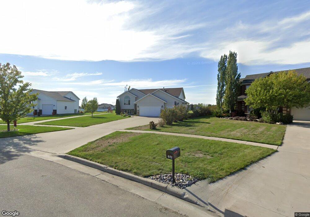
- 612 Prescott Ln
- 628 Prescott Ln
- 572 Prescott Ln
- 564 Prescott Ln
- 644 Prescott Ln
- 555 Prescott Ln
- 552 Prescott Ln
- 627 N Sedona Dr
- 652 Prescott Ln
- 619 N Sedona Dr
- 647 Prescott Ln
- 717 N Sedona Dr
- 611 N Sedona Dr
- 3701 N Sedona Ct
- 3689 N Sedona Ct
- 540 Prescott Ln
- 3677 N Sedona Ct
- 542 38th Ave W
- 603 N Sedona Dr
- 725 N Sedona Dr