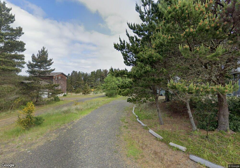
620 S Starr St Westport, WA 98595
Estimated Value: $409,000 - $582,000
3
Beds
3
Baths
1,412
Sq Ft
$350/Sq Ft
Est. Value
About This Home
This home is located at 620 S Starr St, Westport, WA 98595 and is currently estimated at $493,888, approximately $349 per square foot. 620 S Starr St is a home located in Grays Harbor County with nearby schools including Ocosta Elementary School and Ocosta Junior/Senior High School.
Ownership History
Date
Name
Owned For
Owner Type
Purchase Details
Closed on
Dec 18, 2012
Sold by
Winkleman Richard G
Bought by
Gooch Michelle L and Gooch Jason A
Current Estimated Value
Home Financials for this Owner
Home Financials are based on the most recent Mortgage that was taken out on this home.
Original Mortgage
$157,500
Outstanding Balance
$109,122
Interest Rate
3.37%
Mortgage Type
New Conventional
Estimated Equity
$384,766
Purchase Details
Closed on
Jan 23, 2008
Sold by
Williamson Betty
Bought by
Williamson Betty J and Betty J Williamson Trust
Purchase Details
Closed on
Jul 26, 2005
Sold by
Winkelman Richard G and Pederson Sandra
Bought by
Williamson Betty
Create a Home Valuation Report for This Property
The Home Valuation Report is an in-depth analysis detailing your home's value as well as a comparison with similar homes in the area
Home Values in the Area
Average Home Value in this Area
Purchase History
| Date | Buyer | Sale Price | Title Company |
|---|---|---|---|
| Gooch Michelle L | $175,000 | Coast Title | |
| Williamson Betty J | -- | None Available | |
| Williamson Betty | -- | Thurston County Title Co |
Source: Public Records
Mortgage History
| Date | Status | Borrower | Loan Amount |
|---|---|---|---|
| Open | Gooch Michelle L | $157,500 |
Source: Public Records
Tax History Compared to Growth
Tax History
| Year | Tax Paid | Tax Assessment Tax Assessment Total Assessment is a certain percentage of the fair market value that is determined by local assessors to be the total taxable value of land and additions on the property. | Land | Improvement |
|---|---|---|---|---|
| 2025 | $3,865 | $454,041 | $160,126 | $293,915 |
| 2023 | $3,887 | $434,614 | $160,126 | $274,488 |
| 2022 | $3,055 | $265,346 | $56,175 | $209,171 |
| 2021 | $2,802 | $265,346 | $56,175 | $209,171 |
| 2020 | $2,427 | $222,473 | $53,500 | $168,973 |
| 2019 | $2,215 | $184,608 | $56,000 | $128,608 |
| 2018 | $2,481 | $172,916 | $56,000 | $116,916 |
| 2017 | $1,809 | $172,916 | $56,000 | $116,916 |
| 2016 | $1,883 | $153,430 | $56,000 | $97,430 |
| 2014 | -- | $151,140 | $56,000 | $95,140 |
| 2013 | -- | $189,020 | $75,000 | $114,020 |
Source: Public Records
Map
Nearby Homes
- 710 S Hancock Ave Unit 419+
- 710 S Hancock Ave Unit 328
- 710 S Hancock Ave Unit 102&3
- 710 S Hancock Ave Unit 111
- 710 S Hancock Ave Unit 301
- 710 S Hancock Ave Unit 308
- 500 Starr St
- 0 XX Starr St
- 0 Surf St Unit NWM2408053
- 401 S Starr St
- 608 S Forrest St
- 21 XX S Forrest St
- 603 W Veterans Ave
- 507 W Veterans Ave
- 280 S Surf St
- 802 S Forrest St Unit 16
- 802 S Forrest St Unit 1
- 612 Dune Crest Loop
- 615 Dune Crest Loop
- 201 S Hoquiam St
- 611 Grand Army St
- 710 S Hancock Ave Unit 228
- 710 S Hancock Ave Unit 206
- 710 S Hancock Ave Unit 219
- 710 S Hancock Ave Unit 217
- 710 S Hancock Ave Unit 218
- 710 S Hancock Ave Unit 323+
- 710 S Hancock Ave Unit 311
- 710 S Hancock Ave Unit 401
- 710 S Hancock Ave Unit 409
- 710 S Hancock Ave Unit 326
- 710 S Hancock Ave Unit 106
- 710 S Hancock Ave Unit 107
- 710 S Hancock Ave Unit 105
- 710 S Hancock Ave
- 710 S Hancock Ave Unit 310
- 710 S Hancock Ave Unit 321
- 710 S Hancock Ave Unit 320
- 710 S Hancock Ave Unit 319
- 710 S Hancock Ave Unit 205-7