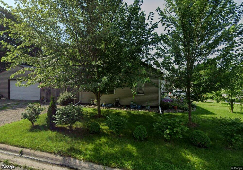
620 Saint Peter Ave Albert Lea, MN 56007
Estimated Value: $109,000 - $131,000
2
Beds
1
Bath
624
Sq Ft
$188/Sq Ft
Est. Value
About This Home
This home is located at 620 Saint Peter Ave, Albert Lea, MN 56007 and is currently estimated at $117,125, approximately $187 per square foot. 620 Saint Peter Ave is a home located in Freeborn County with nearby schools including Hawthorne Elementary School, Southwest Middle School, and Albert Lea Senior High School.
Ownership History
Date
Name
Owned For
Owner Type
Purchase Details
Closed on
Jul 8, 2019
Sold by
Johnson Blair L
Bought by
Jensen Dawn M
Current Estimated Value
Home Financials for this Owner
Home Financials are based on the most recent Mortgage that was taken out on this home.
Original Mortgage
$68,686
Outstanding Balance
$60,175
Interest Rate
3.82%
Mortgage Type
New Conventional
Estimated Equity
$56,950
Create a Home Valuation Report for This Property
The Home Valuation Report is an in-depth analysis detailing your home's value as well as a comparison with similar homes in the area
Home Values in the Area
Average Home Value in this Area
Purchase History
| Date | Buyer | Sale Price | Title Company |
|---|---|---|---|
| Jensen Dawn M | $68,000 | None Available |
Source: Public Records
Mortgage History
| Date | Status | Borrower | Loan Amount |
|---|---|---|---|
| Open | Jensen Dawn M | $68,686 |
Source: Public Records
Tax History
| Year | Tax Paid | Tax Assessment Tax Assessment Total Assessment is a certain percentage of the fair market value that is determined by local assessors to be the total taxable value of land and additions on the property. | Land | Improvement |
|---|---|---|---|---|
| 2025 | $1,564 | $108,400 | $20,600 | $87,800 |
| 2024 | $1,582 | $78,200 | $8,200 | $70,000 |
| 2023 | $1,564 | $78,200 | $8,200 | $70,000 |
| 2022 | $1,542 | $76,800 | $8,200 | $68,600 |
| 2021 | $608 | $59,900 | $8,200 | $51,700 |
| 2020 | $618 | $48,800 | $8,200 | $40,600 |
| 2019 | $546 | $44,100 | $7,300 | $36,800 |
| 2018 | $532 | $0 | $0 | $0 |
| 2016 | $612 | $0 | $0 | $0 |
| 2015 | $614 | $0 | $0 | $0 |
| 2014 | $652 | $0 | $0 | $0 |
| 2012 | $756 | $0 | $0 | $0 |
Source: Public Records
Map
Nearby Homes
- 1405 Johnson St
- 620 Saint Thomas Ave
- 1612 Ramsey St
- 1715 SE Marshall St
- TBD Stevens St
- 606 Minnesota Ave
- 109 Charlotte Ave
- 1306 Crestview Rd
- 1917 Bimelich Ln
- 640 Marshall St
- 1106 Foothills Cir
- 802 Valley Ave
- 519 Johnson St
- 1103 Amelia Ave
- 522 Alice Ave
- 507 Alice Ave
- 415 E Hawthorne St
- 1117 Eastgate Rd
- 1306 Marie Ave
- 1617 Crystal Dr
- 616 Saint Peter Ave
- 612 Saint Peter Ave
- 1501 Johnson St
- 621 Ulstad Ave
- 615 Ulstad Ave
- 608 Saint Peter Ave
- 1517 Johnson St
- 619 Saint Peter Ave
- 615 Saint Peter Ave
- 1419 Johnson St
- 710 Saint Peter Ave
- 611 Saint Peter Ave
- 604 Saint Peter Ave
- 607 Ulstad Ave
- 705 Ulstad Ave
- 609 Saint Peter Ave
- 1415 Johnson St
- 603 Ulstad Ave
- 711 Ulstad Ave
- 714 Saint Peter Ave
Your Personal Tour Guide
Ask me questions while you tour the home.