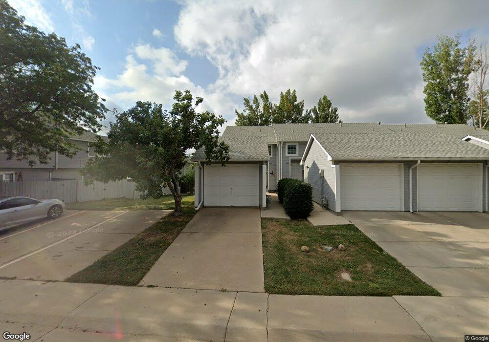
620 Switzer Ln Thornton, CO 80260
Estimated Value: $213,000 - $300,000
2
Beds
1
Bath
886
Sq Ft
$308/Sq Ft
Est. Value
About This Home
This home is located at 620 Switzer Ln, Thornton, CO 80260 and is currently estimated at $272,817, approximately $307 per square foot. 620 Switzer Ln is a home located in Adams County with nearby schools including North Mor Elementary School, Northglenn Middle School, and Northglenn High School.
Ownership History
Date
Name
Owned For
Owner Type
Purchase Details
Closed on
Oct 29, 1997
Sold by
Petty Linda L and Lea Linda Lea
Bought by
Scheiding Gary J
Current Estimated Value
Home Financials for this Owner
Home Financials are based on the most recent Mortgage that was taken out on this home.
Original Mortgage
$61,300
Outstanding Balance
$10,051
Interest Rate
7.27%
Estimated Equity
$262,766
Purchase Details
Closed on
Mar 31, 1994
Sold by
Weber Cecilia
Bought by
Petty Linda L
Home Financials for this Owner
Home Financials are based on the most recent Mortgage that was taken out on this home.
Original Mortgage
$74,263
Interest Rate
7.31%
Mortgage Type
FHA
Purchase Details
Closed on
Dec 28, 1992
Create a Home Valuation Report for This Property
The Home Valuation Report is an in-depth analysis detailing your home's value as well as a comparison with similar homes in the area
Home Values in the Area
Average Home Value in this Area
Purchase History
| Date | Buyer | Sale Price | Title Company |
|---|---|---|---|
| Scheiding Gary J | $87,000 | -- | |
| Petty Linda L | $73,900 | Land Title | |
| -- | $68,000 | -- |
Source: Public Records
Mortgage History
| Date | Status | Borrower | Loan Amount |
|---|---|---|---|
| Open | Scheiding Gary J | $61,300 | |
| Previous Owner | Petty Linda L | $74,263 |
Source: Public Records
Tax History Compared to Growth
Tax History
| Year | Tax Paid | Tax Assessment Tax Assessment Total Assessment is a certain percentage of the fair market value that is determined by local assessors to be the total taxable value of land and additions on the property. | Land | Improvement |
|---|---|---|---|---|
| 2024 | $1,155 | $19,320 | $4,380 | $14,940 |
| 2023 | $1,143 | $21,640 | $3,920 | $17,720 |
| 2022 | $1,059 | $16,560 | $3,130 | $13,430 |
| 2021 | $1,094 | $16,560 | $3,130 | $13,430 |
| 2020 | $811 | $14,420 | $3,220 | $11,200 |
| 2019 | $1,612 | $14,420 | $3,220 | $11,200 |
| 2018 | $1,652 | $14,360 | $1,580 | $12,780 |
| 2017 | $1,502 | $14,360 | $1,580 | $12,780 |
| 2016 | $964 | $8,970 | $1,750 | $7,220 |
| 2015 | $963 | $8,970 | $1,750 | $7,220 |
| 2014 | $774 | $7,010 | $1,750 | $5,260 |
Source: Public Records
Map
Nearby Homes
- 9463 Lou Dr
- 8881 Huron St
- 707 W 96th Ave Unit 2
- 707 W 96th Ave Unit 31
- 707 W 96th Ave Unit 12
- 707 W 96th Ave Unit 5
- 707 W 96th Ave Unit 9
- 9650 Huron St Unit 3
- 9650 Huron St Unit 6
- 864 W 96th Place
- 9708 Covey Ct
- 1201 W Thornton Pkwy Unit 223
- 1201 W Thornton Pkwy Unit 19
- 1201 W Thornton Pkwy Unit 170
- 744 W 99th Ave
- 9648 Lane St
- 9769 Croke Dr
- 9052 Gale Blvd Unit 1
- 9759 Lane St Unit 2718
- 9824 Lane St