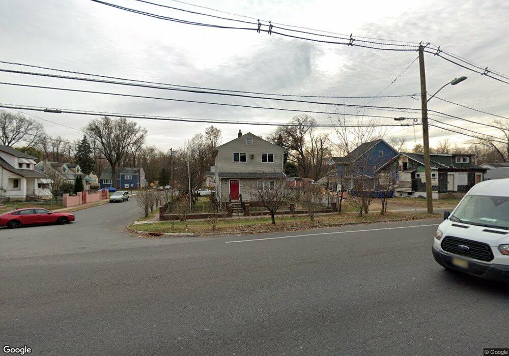
620 Us Highway 22 Hillside, NJ 07205
Estimated Value: $471,772 - $603,000
--
Bed
--
Bath
1,592
Sq Ft
$337/Sq Ft
Est. Value
About This Home
This home is located at 620 Us Highway 22, Hillside, NJ 07205 and is currently estimated at $536,443, approximately $336 per square foot. 620 Us Highway 22 is a home located in Union County with nearby schools including Abram P. Morris-Saybrook Elementary School, Hurden Looker School, and Calvin Coolidge Elementary School.
Ownership History
Date
Name
Owned For
Owner Type
Purchase Details
Closed on
Jul 25, 2022
Sold by
Naranjo and Rita
Bought by
Drejaj Residential Development Llc
Current Estimated Value
Home Financials for this Owner
Home Financials are based on the most recent Mortgage that was taken out on this home.
Original Mortgage
$400,000
Outstanding Balance
$381,825
Interest Rate
5.81%
Mortgage Type
New Conventional
Estimated Equity
$154,618
Purchase Details
Closed on
Apr 4, 2007
Sold by
Portugal Nelson and Portugal June
Bought by
Naranjo Alvaro
Home Financials for this Owner
Home Financials are based on the most recent Mortgage that was taken out on this home.
Original Mortgage
$285,000
Interest Rate
6.19%
Mortgage Type
Purchase Money Mortgage
Create a Home Valuation Report for This Property
The Home Valuation Report is an in-depth analysis detailing your home's value as well as a comparison with similar homes in the area
Home Values in the Area
Average Home Value in this Area
Purchase History
| Date | Buyer | Sale Price | Title Company |
|---|---|---|---|
| Drejaj Residential Development Llc | $435,000 | Prestige Title | |
| Naranjo Alvaro | $325,000 | Passaic Valley Title Service |
Source: Public Records
Mortgage History
| Date | Status | Borrower | Loan Amount |
|---|---|---|---|
| Open | Drejaj Residential Development Llc | $400,000 | |
| Previous Owner | Naranjo Alvaro | $285,000 |
Source: Public Records
Tax History Compared to Growth
Tax History
| Year | Tax Paid | Tax Assessment Tax Assessment Total Assessment is a certain percentage of the fair market value that is determined by local assessors to be the total taxable value of land and additions on the property. | Land | Improvement |
|---|---|---|---|---|
| 2025 | $9,227 | $111,800 | $63,700 | $48,100 |
| 2024 | $8,959 | $111,800 | $63,700 | $48,100 |
| 2023 | $8,959 | $111,800 | $63,700 | $48,100 |
| 2022 | $8,876 | $111,800 | $63,700 | $48,100 |
| 2021 | $8,818 | $111,800 | $63,700 | $48,100 |
| 2020 | $8,766 | $111,800 | $63,700 | $48,100 |
| 2019 | $8,596 | $111,800 | $63,700 | $48,100 |
| 2018 | $8,510 | $111,800 | $63,700 | $48,100 |
| 2017 | $8,459 | $111,800 | $63,700 | $48,100 |
| 2016 | $8,449 | $111,800 | $63,700 | $48,100 |
| 2015 | $8,374 | $111,800 | $63,700 | $48,100 |
| 2014 | $8,242 | $111,800 | $63,700 | $48,100 |
Source: Public Records
Map
Nearby Homes
- 286 Mclean Place
- 553 Harvard Ave
- 557 Yale Ave
- 142 Eastern Pkwy
- 542 Leo St
- 1393 Cornell Place
- 537 Us Highway 22
- 525 Us Highway 22
- 1322 Marcella Dr
- 35 Eastern Pkwy
- 507 Locust Ave
- 1375 Brookfall Ave
- 393 Harvard Ave
- 112 Apple Tree Ln
- 105 Liberty Ct Unit 105
- 292 Crann St
- 314 Fitzpatrick St
- 1040 Cranbrook Rd
- 1453 Morris Ave
- 1025 Sterling Rd