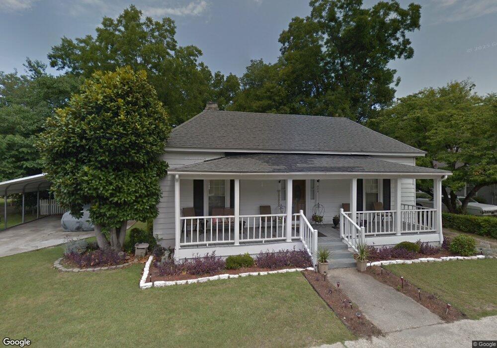
620 W Broad St Darlington, SC 29532
Estimated Value: $69,000 - $160,000
3
Beds
1
Bath
1,818
Sq Ft
$55/Sq Ft
Est. Value
About This Home
This home is located at 620 W Broad St, Darlington, SC 29532 and is currently estimated at $99,555, approximately $54 per square foot. 620 W Broad St is a home located in Darlington County with nearby schools including Pate Elementary School, Brockington Elementary Magnet School, and Darlington Middle School.
Ownership History
Date
Name
Owned For
Owner Type
Purchase Details
Closed on
Sep 11, 2025
Sold by
Bridges Ernest and Bridges Michael Jarrod
Bought by
Bridges Lacina Moore
Current Estimated Value
Purchase Details
Closed on
May 22, 2025
Sold by
Bridges Lacina Moore
Bought by
Bridges Ernest and Bridges Michael Jarrod
Purchase Details
Closed on
Aug 1, 2008
Sold by
Lambert Monroe T and Lambert Charles Allen
Bought by
Bridges Lacina
Create a Home Valuation Report for This Property
The Home Valuation Report is an in-depth analysis detailing your home's value as well as a comparison with similar homes in the area
Home Values in the Area
Average Home Value in this Area
Purchase History
| Date | Buyer | Sale Price | Title Company |
|---|---|---|---|
| Bridges Lacina Moore | -- | None Listed On Document | |
| Moore Bridges Lacina | -- | None Listed On Document | |
| Bridges Ernest | -- | None Listed On Document | |
| Bridges Ernest | -- | None Listed On Document | |
| Bridges Lacina | $32,000 | -- |
Source: Public Records
Tax History
| Year | Tax Paid | Tax Assessment Tax Assessment Total Assessment is a certain percentage of the fair market value that is determined by local assessors to be the total taxable value of land and additions on the property. | Land | Improvement |
|---|---|---|---|---|
| 2025 | $349 | $1,610 | $280 | $1,330 |
| 2024 | $349 | $1,610 | $280 | $1,330 |
| 2023 | $372 | $1,490 | $280 | $1,210 |
| 2022 | $372 | $1,490 | $280 | $1,210 |
| 2021 | $372 | $1,490 | $280 | $1,210 |
| 2020 | $318 | $1,490 | $280 | $1,210 |
| 2019 | $326 | $1,490 | $280 | $1,210 |
| 2018 | $280 | $1,400 | $280 | $1,120 |
| 2017 | $259 | $1,400 | $280 | $1,120 |
| 2016 | $221 | $1,280 | $280 | $1,000 |
| 2014 | $262 | $1,280 | $280 | $1,000 |
| 2013 | $226 | $1,280 | $280 | $1,000 |
Source: Public Records
Map
Nearby Homes
- 0 Harry Byrd Hwy
- 1011 Pearl St
- TBD Lamar Hwy
- 218 Davis St
- TBD N Governor Williams Hwy 4 24ac
- Lot 14 Wildshall Rd
- S Governor Williams Hwy
- 527 Stanley Cir
- 305 Wells St
- 200 Southern Pine St
- 403 Chestnut St
- 6 Acres S Governor Williams Hwy
- 0 Stanley Cir
- 120 Saint Johns St
- 508 Elm St
- 617 Weaver St
- 1111 Syracuse St
- 640 Stanley Cir
- 511 Limit St
- 109 Reid St
- 620 W Broad St
- 624 W Broad St
- 616 W Broad St
- 251 Syracuse St
- 255 Syracuse St
- 628 W Broad St
- 614 W Broad St
- 613 W Broad St
- 253 Syracuse St
- 253 Syracuse St
- 249 Syracuse St
- 619 W Broad St
- 259 Syracuse St
- 245 Syracuse St
- 630 W Broad St
- 261 Syracuse St
- 609 W Broad St
- 263 Syracuse St
- 145 Tallulah St
- 143 Tallulah St
Your Personal Tour Guide
Ask me questions while you tour the home.