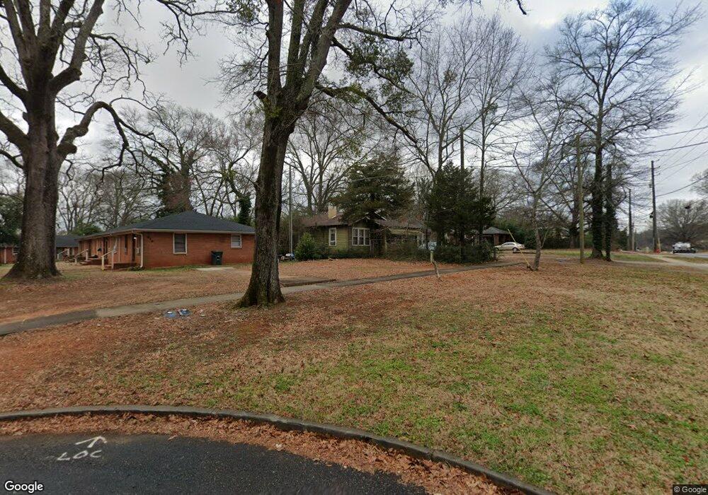
620 W College St Griffin, GA 30224
Spalding County NeighborhoodEstimated Value: $112,774 - $225,000
3
Beds
1
Bath
1,428
Sq Ft
$113/Sq Ft
Est. Value
About This Home
This home is located at 620 W College St, Griffin, GA 30224 and is currently estimated at $161,694, approximately $113 per square foot. 620 W College St is a home located in Spalding County with nearby schools including Anne Street Elementary School, Rehoboth Road Middle School, and Griffin High School.
Ownership History
Date
Name
Owned For
Owner Type
Purchase Details
Closed on
Aug 31, 2023
Sold by
Mccrary Lola
Bought by
Miller Melissa
Current Estimated Value
Purchase Details
Closed on
Jul 2, 1993
Sold by
Spangler Richard
Bought by
Mccrary Lola
Purchase Details
Closed on
Sep 16, 1992
Sold by
Spangler Mrs B D
Bought by
Evans Margery S and Spangler Richard
Purchase Details
Closed on
Feb 10, 1939
Bought by
Spangler Mrs B D
Create a Home Valuation Report for This Property
The Home Valuation Report is an in-depth analysis detailing your home's value as well as a comparison with similar homes in the area
Home Values in the Area
Average Home Value in this Area
Purchase History
| Date | Buyer | Sale Price | Title Company |
|---|---|---|---|
| Miller Melissa | -- | -- | |
| Mccrary Lola | $29,500 | -- | |
| Spangler Richard | $10,000 | -- | |
| Evans Margery S | -- | -- | |
| Spangler Mrs B D | -- | -- |
Source: Public Records
Mortgage History
| Date | Status | Borrower | Loan Amount |
|---|---|---|---|
| Closed | Spangler Richard | -- |
Source: Public Records
Tax History Compared to Growth
Tax History
| Year | Tax Paid | Tax Assessment Tax Assessment Total Assessment is a certain percentage of the fair market value that is determined by local assessors to be the total taxable value of land and additions on the property. | Land | Improvement |
|---|---|---|---|---|
| 2024 | $257 | $20,350 | $3,456 | $16,894 |
| 2023 | $257 | $20,350 | $3,456 | $16,894 |
| 2022 | $240 | $18,512 | $3,456 | $15,056 |
| 2021 | $208 | $17,111 | $3,456 | $13,655 |
| 2020 | $208 | $17,111 | $3,456 | $13,655 |
| 2019 | $137 | $14,016 | $3,456 | $10,560 |
| 2018 | $174 | $13,042 | $3,456 | $9,586 |
| 2017 | $172 | $13,042 | $3,456 | $9,586 |
| 2016 | $174 | $13,042 | $3,456 | $9,586 |
| 2015 | $177 | $13,042 | $3,456 | $9,586 |
| 2014 | $184 | $13,042 | $3,456 | $9,586 |
Source: Public Records
Map
Nearby Homes
- 320 S 12th St
- 717 Scales St
- 731 Scales St
- 754 Scales St
- 1012 W College Extension
- 915 W Poplar St
- 811 Westbrook St
- 1054 W College Street Extension
- 822 W Solomon St
- 854 Scales St
- 737 W Solomon St
- 108 N 14th St
- 733 W Broad St
- 305 S 18th St
- 115 Kennelsman Dr Unit LOT FC 1
- 711 W Broad St
- 1022 Beck St
- 930 W Broad St
- 309 Cherokee Cir
- 221 N 14th St
- 632 Meriwether St
- 636 Meriwether St
- 1050 Ext College W
- 606 W College St
- 708 Meriwether St
- 630 Meriwether St
- 1032 W College St
- 1062 W College St
- 714 Meriwether St
- 604 W College St
- 617 Meriwether St
- 720 Meriwether St
- 726 Meriwether St
- 633 Meriwether St
- 732 Meriwether St
- 542 W College St
- 738 Meriwether St
- 742 Meriwether St
- 1019 W College St
- 332 S 12th St