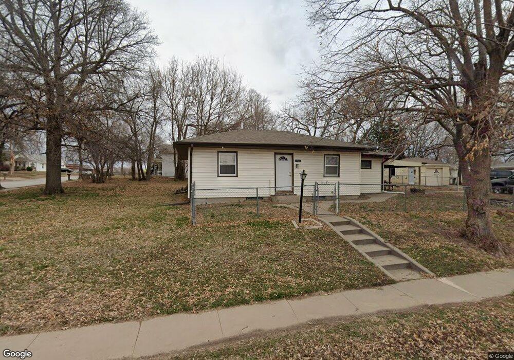
620 W Saunders Ave Lincoln, NE 68521
Northwest Lincoln NeighborhoodEstimated Value: $103,000 - $213,000
2
Beds
2
Baths
1,032
Sq Ft
$164/Sq Ft
Est. Value
About This Home
This home is located at 620 W Saunders Ave, Lincoln, NE 68521 and is currently estimated at $169,681, approximately $164 per square foot. 620 W Saunders Ave is a home located in Lancaster County with nearby schools including West Lincoln Elementary School, Goodrich Middle School, and North Star High School.
Ownership History
Date
Name
Owned For
Owner Type
Purchase Details
Closed on
Jul 25, 2018
Sold by
Brown James D
Bought by
Deal Estates Llc
Current Estimated Value
Purchase Details
Closed on
Feb 27, 2007
Sold by
Decker Vicki L
Bought by
Decker Vicki L and Vicki L Decker Revocable Living Trust
Create a Home Valuation Report for This Property
The Home Valuation Report is an in-depth analysis detailing your home's value as well as a comparison with similar homes in the area
Home Values in the Area
Average Home Value in this Area
Purchase History
| Date | Buyer | Sale Price | Title Company |
|---|---|---|---|
| Deal Estates Llc | $30,000 | Charter Title & Escrow Svcs | |
| Decker Vicki L | -- | None Available |
Source: Public Records
Tax History Compared to Growth
Tax History
| Year | Tax Paid | Tax Assessment Tax Assessment Total Assessment is a certain percentage of the fair market value that is determined by local assessors to be the total taxable value of land and additions on the property. | Land | Improvement |
|---|---|---|---|---|
| 2025 | $1,509 | $153,200 | $58,500 | $94,700 |
| 2024 | $1,509 | $109,200 | $45,500 | $63,700 |
| 2023 | $1,830 | $109,200 | $45,500 | $63,700 |
| 2022 | $1,838 | $92,200 | $32,500 | $59,700 |
| 2021 | $1,738 | $92,200 | $32,500 | $59,700 |
| 2020 | $1,724 | $90,200 | $32,500 | $57,700 |
| 2019 | $1,724 | $90,200 | $32,500 | $57,700 |
| 2018 | $1,845 | $96,100 | $32,500 | $63,600 |
| 2017 | $1,862 | $96,100 | $32,500 | $63,600 |
| 2016 | $1,704 | $87,500 | $32,500 | $55,000 |
| 2015 | $1,692 | $87,500 | $32,500 | $55,000 |
| 2014 | $1,657 | $85,200 | $32,500 | $52,700 |
| 2013 | -- | $85,200 | $32,500 | $52,700 |
Source: Public Records
Map
Nearby Homes
- 2503 NW 6th St
- 431 W Belmont Ave
- 730 W Dawes Ave
- 2500 NW 8th St
- 2411 NW 2nd St
- 2808 NW 7th St
- 122 W Saunders Ave
- 455 Laramie Trail
- 3100 NW 7th St
- 3241 Mickaela Ln
- 1330 Pelican Bay Place
- 209 W Treehaven Dr Unit Lot 143
- 205 W Treehaven Dr
- 635 W Fairfield St
- 325 Nelson St
- 406 Knox St
- 1715 W Trout Dr
- 405 Judson St
- 606 Pier 2
- 600 Pier 2
- 2416 N Chester St
- 608 W Saunders Ave
- 2424 N Chester St
- W W Saunders Ave
- 2423 NW 6th St
- 2423 NW Nw 6th St - 2427
- 2403 NW 6th St
- 2448 N Chester St
- 615 W Saunders Ave
- 615 W Dawes Ave
- 2343 NW 6th St
- 2407 N Chester St
- 2401 N Chester St
- 2415 N Chester St
- 2335 NW 6th St
- 2345 N Chester St
- 2447 NW 6th St
- 2435 N Chester St
- 2335 N Chester St
- 2441 N Chester St