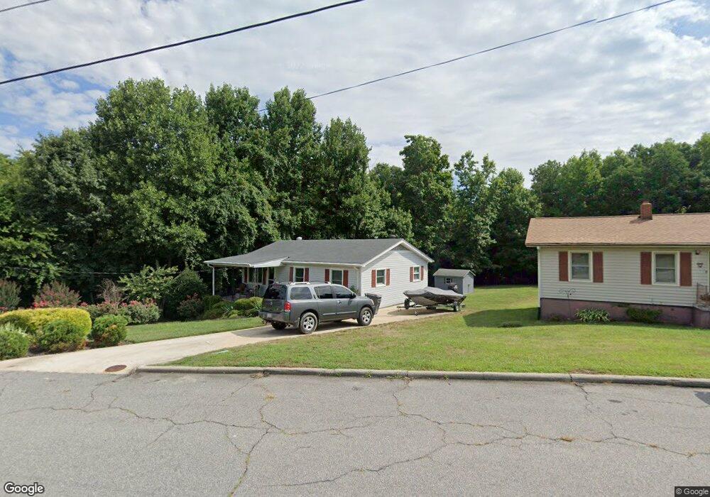
620 Winstead St Reidsville, NC 27320
Estimated Value: $135,000 - $173,000
--
Bed
--
Bath
950
Sq Ft
$154/Sq Ft
Est. Value
About This Home
This home is located at 620 Winstead St, Reidsville, NC 27320 and is currently estimated at $146,662, approximately $154 per square foot. 620 Winstead St is a home located in Rockingham County with nearby schools including Reidsville High School, Moss Street Elementary, and Reidsville Middle School.
Ownership History
Date
Name
Owned For
Owner Type
Purchase Details
Closed on
Oct 28, 2010
Sold by
Harris Janie Black
Bought by
Harris Basil Synclair
Current Estimated Value
Purchase Details
Closed on
Dec 29, 2009
Sold by
Royster Ovetta Ann and Harris Basil Synclair
Bought by
Harris Janie Black
Purchase Details
Closed on
Jul 14, 2009
Sold by
Harris Janie Black
Bought by
Royster Ovetta Ann and Harris Basil Synclair
Create a Home Valuation Report for This Property
The Home Valuation Report is an in-depth analysis detailing your home's value as well as a comparison with similar homes in the area
Home Values in the Area
Average Home Value in this Area
Purchase History
| Date | Buyer | Sale Price | Title Company |
|---|---|---|---|
| Harris Basil Synclair | -- | None Available | |
| Harris Janie Black | -- | None Available | |
| Royster Ovetta Ann | -- | None Available |
Source: Public Records
Tax History Compared to Growth
Tax History
| Year | Tax Paid | Tax Assessment Tax Assessment Total Assessment is a certain percentage of the fair market value that is determined by local assessors to be the total taxable value of land and additions on the property. | Land | Improvement |
|---|---|---|---|---|
| 2025 | $1,720 | $121,451 | $7,069 | $114,382 |
| 2024 | $1,713 | $121,451 | $7,069 | $114,382 |
| 2023 | $1,063 | $59,600 | $6,427 | $53,173 |
| 2022 | $999 | $59,600 | $6,427 | $53,173 |
| 2021 | $855 | $59,600 | $6,427 | $53,173 |
| 2020 | $1,011 | $59,600 | $6,427 | $53,173 |
| 2019 | $1,126 | $59,600 | $6,427 | $53,173 |
| 2018 | $1,113 | $57,547 | $10,632 | $46,915 |
| 2017 | $862 | $57,547 | $10,632 | $46,915 |
| 2015 | $874 | $57,547 | $10,632 | $46,915 |
| 2014 | $866 | $57,547 | $10,632 | $46,915 |
Source: Public Records
Map
Nearby Homes
- 403 Pennsylvania Ave
- 00 Robinson Cir
- 101 S Branch St
- 315 Hubbard St
- 312 Church St
- 335 S Branch St
- 137 Ridge St
- 115 N Harris St
- 802 Lawsonville Ave
- 971 Willow St
- 117 Ridge St
- 304 Roanoke St
- 511 Barnes St
- 515 Barnes St
- 00 E Morehead St
- 607 Lancaster Dr
- 112 Field St
- 122 N Main St
- 502 Thomas St
- 612 Thomas St
- 618 Winstead St
- 616 Winstead St
- 615 Winstead St
- 614 Winstead St
- 617 Winstead St
- 619 Winstead St
- 632 Winstead St
- 625 Winstead St
- 627 Winstead St
- 629 Winstead St
- 610 Winstead St
- 634 Winstead St
- 631 Winstead St
- 611 Winstead St
- 608 Winstead St
- 600 Winstead St
- 600 Winstead St
- 600 Winstead St
- 605 E Morehead St
- 601 E Morehead St