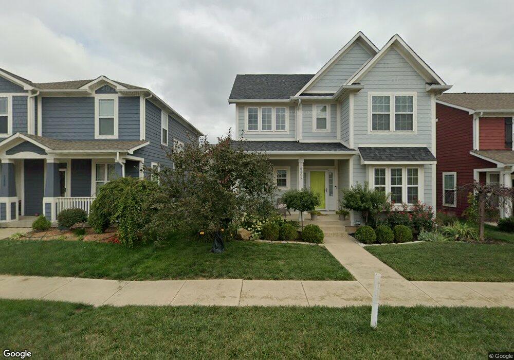
6200 Andrews Way Whitestown, IN 46075
Estimated Value: $414,000 - $435,000
4
Beds
3
Baths
3,315
Sq Ft
$129/Sq Ft
Est. Value
About This Home
This home is located at 6200 Andrews Way, Whitestown, IN 46075 and is currently estimated at $426,945, approximately $128 per square foot. 6200 Andrews Way is a home located in Boone County with nearby schools including Boone Meadow Elementary School, Zionsville West Middle School, and Zionsville Community High School.
Ownership History
Date
Name
Owned For
Owner Type
Purchase Details
Closed on
Jun 23, 2009
Sold by
Hansen And Horn Group Inc
Bought by
Nees Peter R and Nees Kacy
Current Estimated Value
Home Financials for this Owner
Home Financials are based on the most recent Mortgage that was taken out on this home.
Original Mortgage
$247,000
Outstanding Balance
$156,814
Interest Rate
4.86%
Mortgage Type
New Conventional
Estimated Equity
$270,131
Create a Home Valuation Report for This Property
The Home Valuation Report is an in-depth analysis detailing your home's value as well as a comparison with similar homes in the area
Home Values in the Area
Average Home Value in this Area
Purchase History
| Date | Buyer | Sale Price | Title Company |
|---|---|---|---|
| Nees Peter R | -- | -- |
Source: Public Records
Mortgage History
| Date | Status | Borrower | Loan Amount |
|---|---|---|---|
| Open | Nees Peter R | $247,000 |
Source: Public Records
Tax History Compared to Growth
Tax History
| Year | Tax Paid | Tax Assessment Tax Assessment Total Assessment is a certain percentage of the fair market value that is determined by local assessors to be the total taxable value of land and additions on the property. | Land | Improvement |
|---|---|---|---|---|
| 2025 | $5,215 | $445,900 | $37,800 | $408,100 |
| 2024 | $5,215 | $431,400 | $37,800 | $393,600 |
| 2023 | $4,855 | $411,300 | $37,800 | $373,500 |
| 2022 | $4,907 | $390,700 | $37,800 | $352,900 |
| 2021 | $4,209 | $336,800 | $37,800 | $299,000 |
| 2020 | $3,858 | $321,500 | $37,800 | $283,700 |
| 2019 | $3,772 | $324,600 | $37,800 | $286,800 |
| 2018 | $3,601 | $311,100 | $37,800 | $273,300 |
| 2017 | $3,495 | $303,400 | $37,800 | $265,600 |
| 2016 | $3,480 | $301,500 | $37,800 | $263,700 |
| 2014 | $2,536 | $227,400 | $31,600 | $195,800 |
| 2013 | $2,548 | $227,400 | $31,600 | $195,800 |
Source: Public Records
Map
Nearby Homes
- 6304 El Paso St
- 6561 Halsey St
- 6646 Halsey St
- 6634 Halsey St
- 6656 Halsey St
- 6680 Halsey St
- 6676 Halsey St
- 6614 Halsey St
- 6564 Halsey St
- 5986 Meadowview Dr
- 6162 Crabapple Dr
- 5380 Brandywine Dr
- 5278 Bramwell Ln
- 6114 Hardwick Dr
- 6682 Amherst Way
- 6614 Park Grove Blvd
- 6743 Lexington Cir
- 7625 Beekman Terrace
- 6766 Wimbledon Dr
- 6655 Westminster Dr
- 6202 Andrews Way
- 6211 Andrews Way
- 6210 Andrews Way
- 6204 Andrews Way
- 6201 Andrews Way
- 5959 Aldridge Dr
- 6206 Andrews Way
- 6211 Andrews Way
- 6188 Aldridge Dr
- 6203 Andrews Way
- 5957 Aldridge Dr
- 6208 Andrews Way
- 6213 Andrews Way
- 6191 Andrews Way
- 6186 Aldridge Dr
- 6205 Andrews Way
- 5955 Aldridge Dr
- 5952 Crowley Pkwy
- 6210 Andrews Way
- 6193 Andrews Way