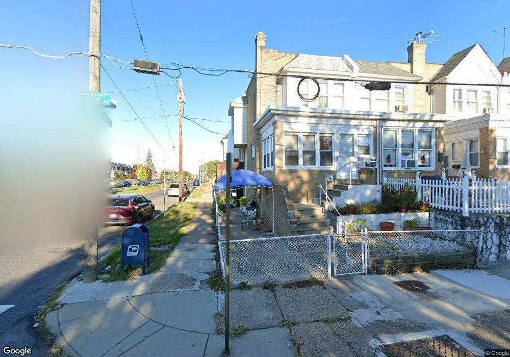
6200 Brous Ave Philadelphia, PA 19149
Mayfair NeighborhoodEstimated Value: $194,000 - $235,000
3
Beds
1
Bath
1,332
Sq Ft
$157/Sq Ft
Est. Value
About This Home
This home is located at 6200 Brous Ave, Philadelphia, PA 19149 and is currently estimated at $209,277, approximately $157 per square foot. 6200 Brous Ave is a home located in Philadelphia County with nearby schools including Lincoln High School, Ethan Allen School, and Blessed Trinity Regional Catholic School.
Ownership History
Date
Name
Owned For
Owner Type
Purchase Details
Closed on
Apr 6, 2021
Sold by
Chen Bi Xiang
Bought by
Dong Jin Xiang
Current Estimated Value
Purchase Details
Closed on
Jun 28, 2016
Sold by
Trombetta Lynn D
Bought by
Chen Bixinag
Purchase Details
Closed on
Feb 28, 1995
Sold by
Grace Dennis J and Grace Linda A
Bought by
Trombetta Robert N and Trombetta Lynn D
Create a Home Valuation Report for This Property
The Home Valuation Report is an in-depth analysis detailing your home's value as well as a comparison with similar homes in the area
Home Values in the Area
Average Home Value in this Area
Purchase History
| Date | Buyer | Sale Price | Title Company |
|---|---|---|---|
| Dong Jin Xiang | $120,000 | First City Abstract Agcy Inc | |
| Chen Bixinag | $71,500 | None Available | |
| Trombetta Robert N | $68,900 | -- |
Source: Public Records
Tax History Compared to Growth
Tax History
| Year | Tax Paid | Tax Assessment Tax Assessment Total Assessment is a certain percentage of the fair market value that is determined by local assessors to be the total taxable value of land and additions on the property. | Land | Improvement |
|---|---|---|---|---|
| 2025 | $2,321 | $194,400 | $38,880 | $155,520 |
| 2024 | $2,321 | $194,400 | $38,880 | $155,520 |
| 2023 | $2,321 | $165,800 | $33,160 | $132,640 |
| 2022 | $1,709 | $165,800 | $33,160 | $132,640 |
| 2021 | $1,709 | $0 | $0 | $0 |
| 2020 | $1,709 | $122,100 | $20,635 | $101,465 |
| 2019 | $1,641 | $0 | $0 | $0 |
| 2018 | $1,121 | $0 | $0 | $0 |
| 2017 | $1,541 | $0 | $0 | $0 |
| 2016 | $1,121 | $0 | $0 | $0 |
| 2015 | $1,073 | $0 | $0 | $0 |
| 2014 | -- | $110,100 | $14,595 | $95,505 |
| 2012 | -- | $14,048 | $1,904 | $12,144 |
Source: Public Records
Map
Nearby Homes
- 6204 Mershon St
- 6200 Cardiff St
- 6233 Cardiff St
- 3007 Mckinley St
- 4007 Higbee St
- 6333 Mershon St
- 4010 Creston St
- 2140 Stevens St
- 4623 Hawthorne St
- 6143 Hawthorne St
- 2916 Levick St
- 2133 Mckinley St
- 4048 Creston St
- 4056 Benner St
- 2112 Robbins Ave
- 6239 Frankford Ave
- 6241 Frankford Ave
- 2052 Devereaux Ave
- 2910 Passmore St
- 6219 Mulberry St
- 6202 Brous Ave
- 6204 Brous Ave
- 6206 Brous Ave
- 6208 Brous Ave
- 6201 Mershon St
- 6203 Mershon St
- 6210 Brous Ave
- 6205 Mershon St
- 6207 Mershon St
- 6212 Brous Ave
- 6209 Mershon St
- 6211 Mershon St
- 6214 Brous Ave
- 6213 Mershon St
- 6216 Brous Ave
- 2901 Devereaux Ave
- 6218 Brous Ave
- 6217 Mershon St
- 2848 Devereaux Ave
- 6220 Brous Ave