6200 Harlem Rd New Albany, OH 43054
Central College NeighborhoodEstimated Value: $406,000 - $524,000
3
Beds
2
Baths
1,868
Sq Ft
$246/Sq Ft
Est. Value
About This Home
This home is located at 6200 Harlem Rd, New Albany, OH 43054 and is currently estimated at $459,238, approximately $245 per square foot. 6200 Harlem Rd is a home located in Franklin County with nearby schools including Avalon Elementary School, Northgate Intermediate, and Woodward Park Middle School.
Ownership History
Date
Name
Owned For
Owner Type
Purchase Details
Closed on
Mar 26, 2019
Sold by
Chick Dorothy Adele
Bought by
Hurst Teresa Faye and Scheck Walter Josef
Current Estimated Value
Home Financials for this Owner
Home Financials are based on the most recent Mortgage that was taken out on this home.
Original Mortgage
$160,000
Outstanding Balance
$121,570
Interest Rate
4.3%
Mortgage Type
VA
Estimated Equity
$337,668
Purchase Details
Closed on
Aug 22, 2003
Sold by
Chick Oakley Russell and Chick Dorothy Adele
Bought by
M H Murphy Development Co
Purchase Details
Closed on
Jun 26, 1977
Bought by
Chick Oakley R
Create a Home Valuation Report for This Property
The Home Valuation Report is an in-depth analysis detailing your home's value as well as a comparison with similar homes in the area
Home Values in the Area
Average Home Value in this Area
Purchase History
| Date | Buyer | Sale Price | Title Company |
|---|---|---|---|
| Hurst Teresa Faye | $160,000 | Acs Gahanna Title Box | |
| M H Murphy Development Co | $205,900 | Stewart Title | |
| Chick Oakley R | -- | -- |
Source: Public Records
Mortgage History
| Date | Status | Borrower | Loan Amount |
|---|---|---|---|
| Open | Hurst Teresa Faye | $160,000 |
Source: Public Records
Tax History Compared to Growth
Tax History
| Year | Tax Paid | Tax Assessment Tax Assessment Total Assessment is a certain percentage of the fair market value that is determined by local assessors to be the total taxable value of land and additions on the property. | Land | Improvement |
|---|---|---|---|---|
| 2024 | $5,675 | $126,460 | $35,490 | $90,970 |
| 2023 | $5,603 | $126,455 | $35,490 | $90,965 |
| 2022 | $5,167 | $99,620 | $29,580 | $70,040 |
| 2021 | $5,176 | $99,620 | $29,580 | $70,040 |
| 2020 | $5,183 | $99,620 | $29,580 | $70,040 |
| 2019 | $4,331 | $80,150 | $23,660 | $56,490 |
| 2018 | $3,941 | $80,150 | $23,660 | $56,490 |
| 2017 | $4,125 | $80,150 | $23,660 | $56,490 |
| 2016 | $3,921 | $67,940 | $19,950 | $47,990 |
| 2015 | $3,559 | $67,940 | $19,950 | $47,990 |
| 2014 | $3,568 | $67,940 | $19,950 | $47,990 |
| 2013 | $1,664 | $64,715 | $19,005 | $45,710 |
Source: Public Records
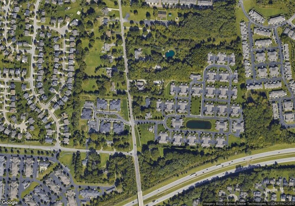
Map
Nearby Homes
- 6813 Ridge Rock Dr Unit 14
- 5556 Falco Dr
- 5600 Apothecary Way
- 5604 Apothecary Way Unit 4
- 5656 Apothecary Way Unit 2
- 6923 Rothwell St Unit 46923
- 6931 Rothwell St Unit 36931
- 6501 Walnut Fork Dr Unit 6501
- 6455 Walnut Fork Dr Unit 6455
- 6498 Ash Rock Cir Unit 6498
- 5730 Colts Gate Dr Unit 43
- 5777 Colts Gate Dr Unit 44
- 6950 Harlem Rd
- 5798 Aristides Way
- 5478 Albany Terrace Way Unit 1405
- 5288 Abby Gate Ave Unit 16
- 7362 Tottenham Place
- 0 N Hamilton Rd
- 6221 Hudson Reserve Way
- 5981 Niahway St Unit 57
- 6770 Ridge Rock Dr Unit 16770
- 6784 Winrock Dr Unit 26784
- 6782 Winrock Dr Unit 26782
- 6230 Harlem Rd
- 6786 Winrock Dr Unit 36786
- 6786 Winrock Dr Unit 3
- 6788 Winrock Dr Unit 36788
- 6794 Winrock Dr Unit 36794
- 6792 Winrock Dr Unit 36792
- 6800 Newrock Dr
- 6290 Harlem Rd
- 6227 Harlem Rd
- 6802 Newrock Dr
- 6124 Harlem Rd
- 6801 Winrock Dr
- 6787 Ridge Rock Dr
- 6796 Winrock Dr Unit 46796
- 6802 Ridge Rock Dr
- 6798 Winrock Dr Unit 46798
- 6791 Ridge Rock Dr