6200 Maple Forest Rd W Westpoint, IN 47992
Estimated Value: $444,557 - $556,000
--
Bed
1
Bath
2,800
Sq Ft
$178/Sq Ft
Est. Value
About This Home
This home is located at 6200 Maple Forest Rd W, Westpoint, IN 47992 and is currently estimated at $497,186, approximately $177 per square foot. 6200 Maple Forest Rd W is a home located in Tippecanoe County with nearby schools including Mintonye Elementary School, Southwestern Middle School, and McCutcheon High School.
Create a Home Valuation Report for This Property
The Home Valuation Report is an in-depth analysis detailing your home's value as well as a comparison with similar homes in the area
Home Values in the Area
Average Home Value in this Area
Tax History Compared to Growth
Tax History
| Year | Tax Paid | Tax Assessment Tax Assessment Total Assessment is a certain percentage of the fair market value that is determined by local assessors to be the total taxable value of land and additions on the property. | Land | Improvement |
|---|---|---|---|---|
| 2024 | $2,291 | $323,500 | $58,300 | $265,200 |
| 2023 | $2,131 | $285,000 | $28,900 | $256,100 |
| 2022 | $2,061 | $252,300 | $28,900 | $223,400 |
| 2021 | $1,858 | $227,100 | $28,900 | $198,200 |
| 2020 | $1,660 | $210,300 | $28,900 | $181,400 |
| 2019 | $1,568 | $201,900 | $28,900 | $173,000 |
| 2018 | $1,450 | $191,700 | $28,900 | $162,800 |
| 2017 | $1,392 | $187,800 | $28,900 | $158,900 |
| 2016 | $1,423 | $189,300 | $28,900 | $160,400 |
| 2014 | $1,328 | $178,800 | $28,900 | $149,900 |
| 2013 | $1,344 | $173,700 | $28,900 | $144,800 |
Source: Public Records
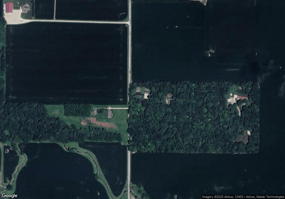
Map
Nearby Homes
- 6243 S 700 W
- 4400 Silver Shale Ln
- 4400 Silver Shale Ln
- 6943 Main St
- 7008 Main St
- 9227 S 900 W
- 4511 Indiana 25
- 4510 Indiana 25
- 4545 S 175 W
- 809 Ravenstone Dr
- 11029 S 125 W
- Flint Rd. E 0
- 1062 N Admirals Pointe Dr
- 0 W 500 S
- 4254-4268 Admirals Cove Dr
- 4336 Admirals Cove Dr
- 825 Drydock Dr
- 4654 Flagship Ln
- 775 N Admirals Pointe Dr
- 892 Ravenstone Dr