6200 Riverside Ln Middleville, MI 49333
Estimated Value: $425,000 - $725,000
4
Beds
3
Baths
2,900
Sq Ft
$193/Sq Ft
Est. Value
About This Home
This home is located at 6200 Riverside Ln, Middleville, MI 49333 and is currently estimated at $558,361, approximately $192 per square foot. 6200 Riverside Ln is a home located in Barry County with nearby schools including McFall Elementary School, Lee Elementary School, and Page Elementary School.
Ownership History
Date
Name
Owned For
Owner Type
Purchase Details
Closed on
Jun 26, 2020
Sold by
Arens John R and Arens John Russell
Bought by
Arens John R and John R Arens Trust
Current Estimated Value
Purchase Details
Closed on
May 30, 2014
Sold by
Leugers Matthew E and Leugers Maureen F
Bought by
Arens John Russell
Purchase Details
Closed on
Jun 5, 2007
Sold by
Furness Donald D and Furness Mary Ann
Bought by
Leugers Matthew E and Leugers Maureen F
Home Financials for this Owner
Home Financials are based on the most recent Mortgage that was taken out on this home.
Original Mortgage
$274,500
Interest Rate
6.21%
Mortgage Type
Balloon
Purchase Details
Closed on
Aug 11, 2005
Sold by
Furness Donald D and Furness Mary Ann
Bought by
Furness Donald D and Furness Mary Ann
Purchase Details
Closed on
Jan 30, 2004
Sold by
Whitten Thomas S and Whitten Clairenda
Bought by
Furness Donald D and Furness Mary Ann
Create a Home Valuation Report for This Property
The Home Valuation Report is an in-depth analysis detailing your home's value as well as a comparison with similar homes in the area
Home Values in the Area
Average Home Value in this Area
Purchase History
| Date | Buyer | Sale Price | Title Company |
|---|---|---|---|
| Arens John R | -- | None Available | |
| Arens John Russell | $300,000 | Chicago Title | |
| Leugers Matthew E | $305,000 | None Available | |
| Furness Donald D | -- | -- | |
| Furness Donald D | $300,000 | -- |
Source: Public Records
Mortgage History
| Date | Status | Borrower | Loan Amount |
|---|---|---|---|
| Previous Owner | Leugers Matthew E | $274,500 |
Source: Public Records
Tax History Compared to Growth
Tax History
| Year | Tax Paid | Tax Assessment Tax Assessment Total Assessment is a certain percentage of the fair market value that is determined by local assessors to be the total taxable value of land and additions on the property. | Land | Improvement |
|---|---|---|---|---|
| 2025 | $5,470 | $233,000 | $0 | $0 |
| 2024 | $5,470 | $215,600 | $0 | $0 |
| 2023 | $4,984 | $181,900 | $0 | $0 |
| 2022 | $4,984 | $181,900 | $0 | $0 |
| 2021 | $4,984 | $164,000 | $0 | $0 |
| 2020 | $4,904 | $159,700 | $0 | $0 |
| 2019 | $4,904 | $146,800 | $0 | $0 |
| 2018 | $4,737 | $143,100 | $47,300 | $95,800 |
| 2017 | $4,737 | $143,100 | $0 | $0 |
| 2016 | -- | $135,800 | $0 | $0 |
| 2015 | -- | $131,000 | $0 | $0 |
| 2014 | -- | $131,000 | $0 | $0 |
Source: Public Records
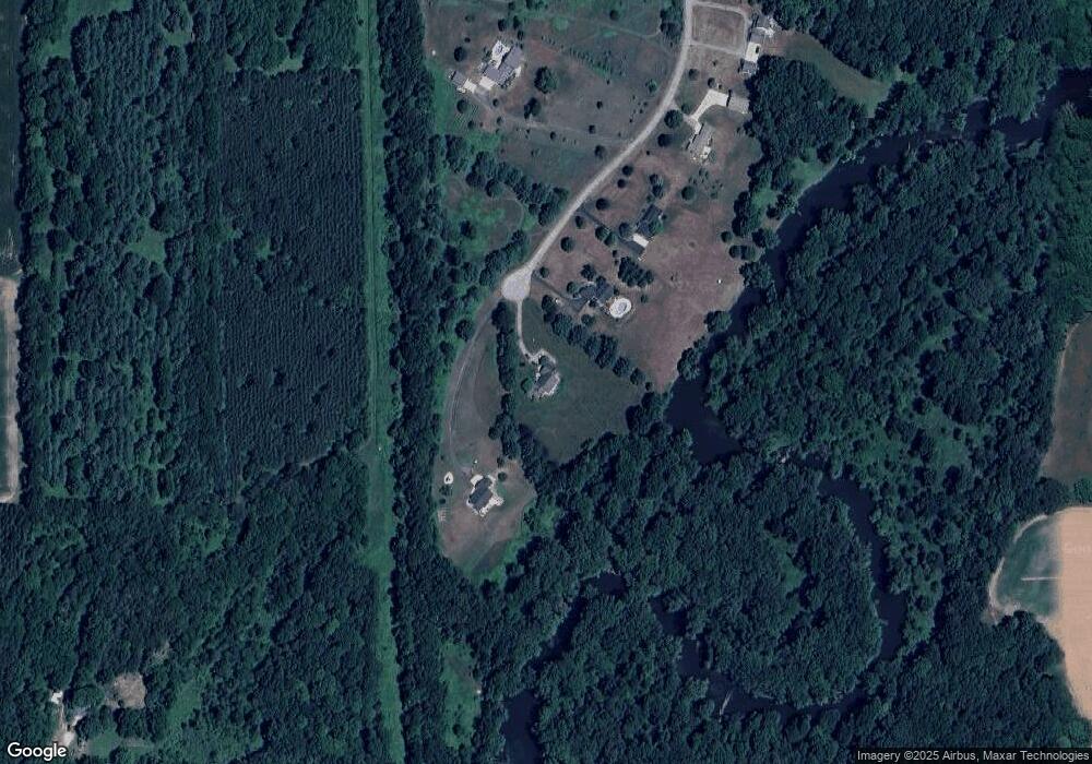
Map
Nearby Homes
- Parcel B Stimson Rd
- 5645 Stimson Rd
- Parcel B Stimson Rd
- 5325 Stimson Rd
- 5156 Ravine Dr
- 1079 Arlington St
- 785 Pinecreek
- Wilshire Plan at Seneca Ridge
- Remington Plan at Seneca Ridge
- Linden Plan at Seneca Ridge
- Enclave Plan at Seneca Ridge
- Croswell Plan at Seneca Ridge
- Cascade Plan at Seneca Ridge
- Carson Plan at Seneca Ridge
- Avery Plan at Seneca Ridge
- Ashton Plan at Seneca Ridge
- Andover Plan at Seneca Ridge
- 886 Oak Wind Ct
- 313 Seneca Ridge Dr Unit 45
- 343 Seneca Ridge Dr Unit 40
- 6230 Riverside Ln
- 6225 Riverside Ln
- 6250 Riverside Ln
- 6300 Riverside Ln
- 6351 Riverside Ln
- 6364 Riverside Ln
- 6500 Riverside Ln
- 9329 W Garbow Rd
- 6501 Riverside Ln
- 9345 W Garbow Rd
- 9450 W Garbow Rd
- 6490 Riverside Ln
- 6581 Riverside Ln
- 6351 Stimpson Rd
- Par. A W Garbow Rd
- Par. C W Garbow Rd
- Par. B W Garbow Rd
- 6510 Riverside Ln
- 9401 W Garbow Rd
- 6675 Riverside Ln