Estimated Value: $291,530 - $380,000
3
Beds
2
Baths
2,366
Sq Ft
$139/Sq Ft
Est. Value
About This Home
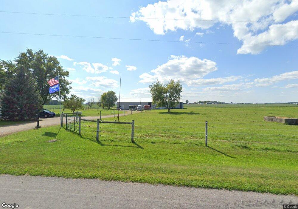
This home is located at 6200 S 700 E, Berne, IN 46711 and is currently estimated at $327,843, approximately $138 per square foot. 6200 S 700 E is a home located in Adams County with nearby schools including South Adams Elementary School, South Adams Middle School, and South Adams High School.
Ownership History
Date
Name
Owned For
Owner Type
Purchase Details
Closed on
Mar 7, 2014
Sold by
Shafer Beth and Platfoot Andrew
Bought by
Kahn Brenda and Marchal Brenda
Current Estimated Value
Purchase Details
Closed on
Jul 10, 2012
Sold by
Kahn Brenda and Marchal Brenda
Bought by
Shafer Beth and Platfoot Andrew
Purchase Details
Closed on
Dec 18, 2007
Sold by
Crott David and Krett David
Bought by
Marchal Brenda
Home Financials for this Owner
Home Financials are based on the most recent Mortgage that was taken out on this home.
Original Mortgage
$127,200
Interest Rate
6.27%
Mortgage Type
New Conventional
Purchase Details
Closed on
Sep 1, 2005
Sold by
Augsburger Wade A and Augsburger Taya L
Bought by
Croft David
Home Financials for this Owner
Home Financials are based on the most recent Mortgage that was taken out on this home.
Original Mortgage
$146,700
Interest Rate
8.62%
Mortgage Type
Adjustable Rate Mortgage/ARM
Create a Home Valuation Report for This Property
The Home Valuation Report is an in-depth analysis detailing your home's value as well as a comparison with similar homes in the area
Purchase History
| Date | Buyer | Sale Price | Title Company |
|---|---|---|---|
| Kahn Brenda | -- | None Available | |
| Shafer Beth | -- | None Available | |
| Marchal Brenda | -- | -- | |
| Croft David | -- | -- |
Source: Public Records
Mortgage History
| Date | Status | Borrower | Loan Amount |
|---|---|---|---|
| Previous Owner | Marchal Brenda | $127,200 | |
| Previous Owner | Croft David | $146,700 |
Source: Public Records
Tax History
| Year | Tax Paid | Tax Assessment Tax Assessment Total Assessment is a certain percentage of the fair market value that is determined by local assessors to be the total taxable value of land and additions on the property. | Land | Improvement |
|---|---|---|---|---|
| 2025 | $1,520 | $217,100 | $28,300 | $188,800 |
| 2024 | $1,520 | $203,500 | $28,900 | $174,600 |
| 2023 | $1,695 | $192,600 | $27,500 | $165,100 |
| 2022 | $1,594 | $188,800 | $26,000 | $162,800 |
| 2021 | $1,503 | $177,900 | $22,500 | $155,400 |
| 2020 | $1,390 | $168,300 | $22,500 | $145,800 |
| 2019 | $1,282 | $160,700 | $23,500 | $137,200 |
| 2018 | $1,277 | $156,500 | $23,700 | $132,800 |
| 2017 | $1,244 | $153,400 | $22,600 | $130,800 |
| 2016 | $1,252 | $156,300 | $23,000 | $133,300 |
| 2014 | $1,173 | $148,700 | $23,300 | $125,400 |
| 2013 | $1,275 | $148,400 | $20,700 | $127,700 |
Source: Public Records
Map
Nearby Homes
- 4471 E St Rd 218 Rd
- 4386 E 300 S
- 14.62 Acres E 800 S
- 11164 Erastus Durbin Rd
- 2101 E 300 S
- 2907 S 200 E
- 403 Riley St
- 100 Sprague St
- 2501 E 100 S
- 609 Welty St
- 0 Wilson Unit 1037059
- 0 Wilson Unit 306333
- 356 N Jefferson St
- 5828 E 150 N
- 667 Lehman St
- 16021 E State Line Rd
- 0 Rockford West Rd Unit Lots 14- 28
- 1346 Glenwood Ct
- 417 Center St
- 103 Wayne St
- 136 State Route 707
- 163 State Route 707
- 6658 E State Road 218
- 10822 Indiana Ohio State Lin Rd
- 6566 E State Road 218
- 321 State Route 707
- 10910 State Line Rd
- 421 State Route 707
- 6205 E State Road 218
- 485 State Route 707
- 6656 E 700 S
- 10449 State Route 49
- 5330 S 700 E
- 10560 State Route 49
- 246 Sipe Rd
- 10560 Ohio 49
- 10490 State Route 49
- 187 Sipe Rd
- 5831 S 600 E
Your Personal Tour Guide
Ask me questions while you tour the home.