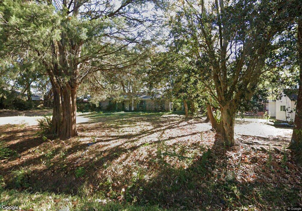
6201 Howells Ferry Rd Mobile, AL 36618
Colonial Heights NeighborhoodEstimated Value: $148,000 - $213,000
3
Beds
2
Baths
1,685
Sq Ft
$106/Sq Ft
Est. Value
About This Home
This home is located at 6201 Howells Ferry Rd, Mobile, AL 36618 and is currently estimated at $178,308, approximately $105 per square foot. 6201 Howells Ferry Rd is a home located in Mobile County with nearby schools including Orchard Elementary School, CL Scarborough Middle School, and Mattie T Blount High School.
Ownership History
Date
Name
Owned For
Owner Type
Purchase Details
Closed on
Jan 20, 2023
Sold by
Young Euris S
Bought by
R & G Properties Inc
Current Estimated Value
Purchase Details
Closed on
Jun 10, 2020
Sold by
Donham Place Owers Association Inc
Bought by
Ezell Brandi
Purchase Details
Closed on
May 5, 2008
Sold by
Fulton Wally
Bought by
Euris S Young Obo Masonry Special Co
Purchase Details
Closed on
Nov 18, 2002
Sold by
Fulton Donna Elaine and Fulton Wally
Bought by
Fulton Wally and Fulton Donna Elaine
Home Financials for this Owner
Home Financials are based on the most recent Mortgage that was taken out on this home.
Original Mortgage
$71,200
Interest Rate
6.08%
Create a Home Valuation Report for This Property
The Home Valuation Report is an in-depth analysis detailing your home's value as well as a comparison with similar homes in the area
Home Values in the Area
Average Home Value in this Area
Purchase History
| Date | Buyer | Sale Price | Title Company |
|---|---|---|---|
| R & G Properties Inc | $53,087 | None Listed On Document | |
| Ezell Brandi | -- | None Available | |
| Ezell Brandi | -- | None Available | |
| Euris S Young Obo Masonry Special Co | $115 | None Available | |
| Fulton Wally | $96,200 | -- |
Source: Public Records
Mortgage History
| Date | Status | Borrower | Loan Amount |
|---|---|---|---|
| Previous Owner | Fulton Wally | $71,200 |
Source: Public Records
Tax History Compared to Growth
Tax History
| Year | Tax Paid | Tax Assessment Tax Assessment Total Assessment is a certain percentage of the fair market value that is determined by local assessors to be the total taxable value of land and additions on the property. | Land | Improvement |
|---|---|---|---|---|
| 2024 | $2,043 | $32,020 | $4,000 | $28,020 |
| 2023 | $282 | $4,440 | $4,000 | $440 |
| 2022 | $277 | $4,360 | $4,000 | $360 |
| 2021 | $277 | $4,360 | $4,000 | $360 |
| 2020 | $278 | $4,380 | $4,000 | $380 |
| 2019 | $1,019 | $16,040 | $4,000 | $12,040 |
| 2018 | $881 | $13,880 | $0 | $0 |
| 2017 | $881 | $13,880 | $0 | $0 |
| 2016 | $1,096 | $17,260 | $0 | $0 |
| 2013 | $1,027 | $16,160 | $0 | $0 |
Source: Public Records
Map
Nearby Homes
- 0 Hall Rd Unit 7635847
- 1330 Lucerne Dr
- 6275 Lausanne Dr N
- 5850 Overlook Rd
- 6500 Camden Cir
- 2117 Morganthau Dr
- 1350 Athey Rd
- 1313 Innsbruck Dr
- 1122 Fribourg St
- 3901 Moffett Rd
- 0 Moffett Rd Unit 7549673
- 4601 Moffett Rd
- 0 Moffett Rd Unit 7446891
- 0 Moffett Rd Unit 7446866
- 0 Moffett Rd Unit 2 0617188
- 7491 Moffett Rd
- 5859 Chalet Dr N
- 5654 Overlook Rd
- 1900 Foxfire Rd
- 6158 Saint Gallen Ave N
- 6245 Howells Ferry Rd
- 1761 Donham Dr
- 1757 Donham Dr
- 1765 Donham Dr
- 1753 Donham Dr
- 1749 Donham Dr
- 6251 Howells Ferry Rd
- 1745 Donham Dr
- 6250 Howells Ferry Rd
- 6246 Howells Ferry Rd
- 1741 Donham Dr
- 1752 Donham Dr
- 6149 Howells Ferry Rd
- 6259 Howells Ferry Rd
- 1748 Donham Dr
- 1737 Donham Dr
- 1744 Donham Dr
- 1801 Grider Rd
- 1728 Tew Dr
- 1740 Donham Dr