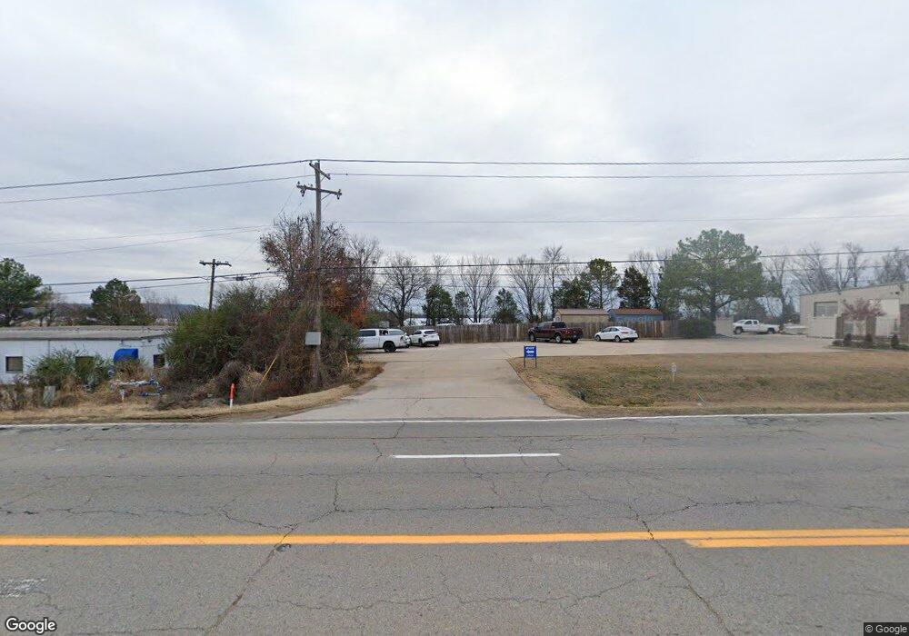
6201 S Zero St Fort Smith, AR 72903
Studio
2
Baths
21,660
Sq Ft
144,184
Sq Ft Lot
About This Home
This home is located at 6201 S Zero St, Fort Smith, AR 72903. 6201 S Zero St is a home located in Sebastian County with nearby schools including Bonneville Elementary School, L.A. Chaffin Junior High School, and Southside High School.
Ownership History
Date
Name
Owned For
Owner Type
Purchase Details
Closed on
Sep 29, 2023
Sold by
Marley Harry D and Marley Nancy J
Bought by
Mirrors Zero Street Llc
Purchase Details
Closed on
Jun 11, 2009
Sold by
The First National Bank Of Fort Smith
Bought by
Marley Harry D and Marley Nancy J
Home Financials for this Owner
Home Financials are based on the most recent Mortgage that was taken out on this home.
Original Mortgage
$324,039
Interest Rate
4.84%
Mortgage Type
Seller Take Back
Purchase Details
Closed on
Nov 13, 1997
Bought by
Marley Harry D
Create a Home Valuation Report for This Property
The Home Valuation Report is an in-depth analysis detailing your home's value as well as a comparison with similar homes in the area
Home Values in the Area
Average Home Value in this Area
Purchase History
| Date | Buyer | Sale Price | Title Company |
|---|---|---|---|
| Mirrors Zero Street Llc | -- | None Listed On Document | |
| Marley Harry D | $297,000 | None Available | |
| Marley Harry D | $280,000 | -- |
Source: Public Records
Mortgage History
| Date | Status | Borrower | Loan Amount |
|---|---|---|---|
| Previous Owner | Marley Harry D | $324,039 |
Source: Public Records
Tax History
| Year | Tax Paid | Tax Assessment Tax Assessment Total Assessment is a certain percentage of the fair market value that is determined by local assessors to be the total taxable value of land and additions on the property. | Land | Improvement |
|---|---|---|---|---|
| 2025 | $11,652 | $234,337 | $34,695 | $199,642 |
| 2024 | $2,419 | $46,080 | $15,920 | $30,160 |
| 2023 | $2,675 | $46,080 | $15,920 | $30,160 |
| 2022 | $2,675 | $46,080 | $15,920 | $30,160 |
| 2021 | $2,675 | $46,080 | $15,920 | $30,160 |
| 2020 | $2,675 | $46,080 | $15,920 | $30,160 |
| 2019 | $2,578 | $44,400 | $15,920 | $28,480 |
| 2018 | $2,578 | $44,400 | $15,920 | $28,480 |
| 2017 | $2,331 | $44,400 | $15,920 | $28,480 |
| 2016 | $2,331 | $44,400 | $15,920 | $28,480 |
| 2015 | $2,331 | $44,400 | $15,920 | $28,480 |
| 2014 | $3,406 | $64,880 | $39,045 | $25,835 |
Source: Public Records
Map
Nearby Homes
- 6200 S Zero St
- 5505 Remington Way
- 6300 Galven Way
- 6428 Galven Way
- 7401 S Zero St
- 5710 Geren Rd
- 7001 Red Bud Dr
- 7201 Red Pine Dr
- 7215 Red Pine Dr
- 6924 Stonebrook Dr
- 6725 Jackson St
- 7008 Stonebrook Dr
- 6911 Forest Canyon Dr
- 6917 Milan Way
- 6923 Stonebrook Dr
- 7512 Red Pine Dr
- 6911 Naples Way
- 7904 Rome Way
- 7908 Rome Way
- 7304 Stonebrook Dr
- 5440 S 66th St
- 6200 Zero St
- 6220 Zero St
- 6401 Zero St
- 6300 Zero St
- 5901 S Zero St
- 6100 S Zero St
- 5815 S Zero St
- 6109 Old Greenwood Rd
- 6515 S Zero St
- 5600 S 66th St
- 6115 Old Greenwood Rd
- 6110 Old Greenwood Rd
- 6601 S Zero St
- 6201 Crimson Ave
- 5723 S Zero St
- 6209 Crimson Ave
- 6215 Crimson Ave
- 5700 Zero St
- 6301 Crimson Ave
Your Personal Tour Guide
Ask me questions while you tour the home.