6202 Queen Hill Rd Plattsmouth, NE 68048
Estimated Value: $504,000 - $830,000
3
Beds
2
Baths
1,898
Sq Ft
$320/Sq Ft
Est. Value
About This Home
This home is located at 6202 Queen Hill Rd, Plattsmouth, NE 68048 and is currently estimated at $608,089, approximately $320 per square foot. 6202 Queen Hill Rd is a home located in Cass County with nearby schools including Conestoga Elementary School and Conestoga Junior/Senior High School.
Ownership History
Date
Name
Owned For
Owner Type
Purchase Details
Closed on
Dec 4, 2023
Sold by
Stewart Peggy A
Bought by
Stewart Peggy A and Stuva David E
Current Estimated Value
Purchase Details
Closed on
Jul 21, 2010
Sold by
Miller Daniel V and Teply-Miller Alyce R
Bought by
Stewart Robert J and Stewart Peggy A
Purchase Details
Closed on
Jun 27, 2003
Sold by
Miller Daniel V
Bought by
Miller Daniel V
Purchase Details
Closed on
May 25, 2001
Sold by
Eisenbarth Royce A and Eisenbarth Johnna D
Bought by
Miller Daniel V and Teply Alyce R
Create a Home Valuation Report for This Property
The Home Valuation Report is an in-depth analysis detailing your home's value as well as a comparison with similar homes in the area
Home Values in the Area
Average Home Value in this Area
Purchase History
| Date | Buyer | Sale Price | Title Company |
|---|---|---|---|
| Stewart Peggy A | -- | None Listed On Document | |
| Stewart Robert J | -- | Dri Title & Escrow | |
| Miller Daniel V | -- | -- | |
| Miller Daniel V | $350,000 | -- |
Source: Public Records
Tax History Compared to Growth
Tax History
| Year | Tax Paid | Tax Assessment Tax Assessment Total Assessment is a certain percentage of the fair market value that is determined by local assessors to be the total taxable value of land and additions on the property. | Land | Improvement |
|---|---|---|---|---|
| 2024 | $4,598 | $381,685 | $170,270 | $211,415 |
| 2023 | $4,601 | $343,970 | $138,060 | $205,910 |
| 2022 | $4,989 | $370,771 | $144,963 | $225,808 |
| 2021 | $4,954 | $333,110 | $115,050 | $218,060 |
| 2020 | $4,737 | $308,929 | $115,050 | $193,879 |
| 2019 | $5,111 | $314,509 | $115,050 | $199,459 |
| 2018 | $5,026 | $314,509 | $115,050 | $199,459 |
| 2017 | $5,103 | $314,509 | $115,050 | $199,459 |
| 2016 | $4,883 | $314,509 | $115,050 | $199,459 |
| 2015 | $4,864 | $314,509 | $115,050 | $199,459 |
| 2014 | $5,610 | $314,509 | $115,050 | $199,459 |
Source: Public Records
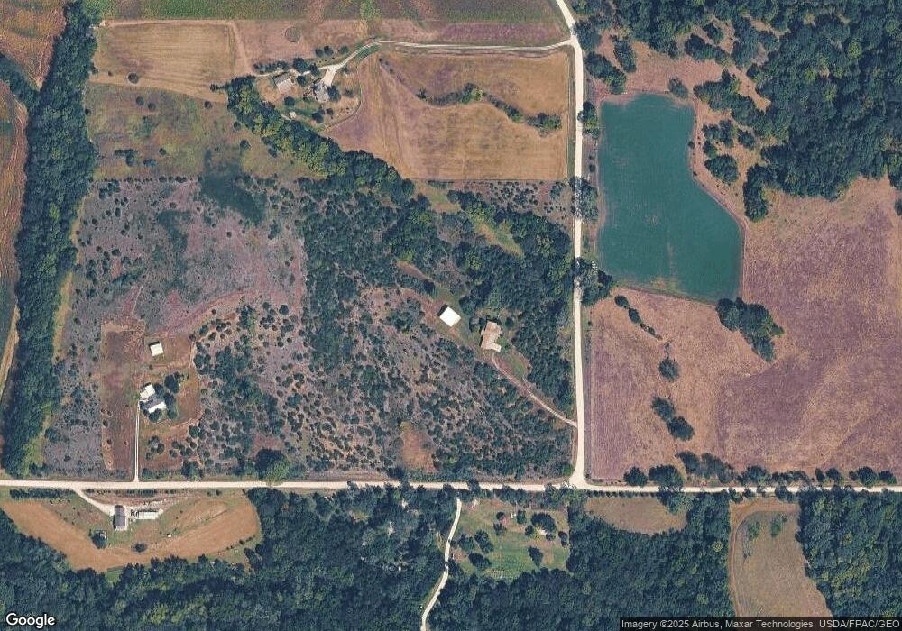
Map
Nearby Homes
- 2706 Jefferson Ct
- 2410 Jefferson Rd
- 8517 Pawnee Ln
- 8523 Riverdale Rd
- 67729 195th St
- 8800 Riverdale Rd
- 2106 Murray Rd
- 61 the Wilds Rv Park Unit Lot
- 1714 Murray Rd
- 1231 Western Ave
- 1948 Murray Rd
- 1940 Murray Rd
- 1928 Murray Rd
- 1910 Murray Rd
- 8505 Eagle Point
- 8504 Lake Ridge Dr
- 1867 Lake Ridge Dr
- 1916 Beaver Lake Blvd
- 1859 Lake Ridge Dr
- 8614 Eagle Point