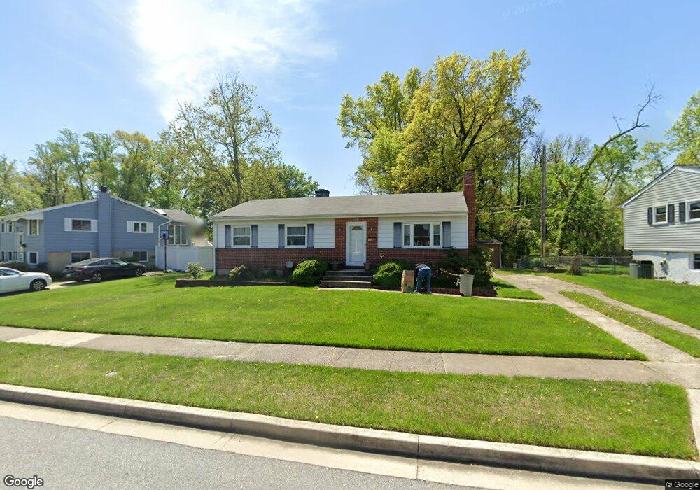
6203 Collinsway Rd Catonsville, MD 21228
Estimated Value: $301,710 - $431,000
--
Bed
1
Bath
1,092
Sq Ft
$349/Sq Ft
Est. Value
About This Home
This home is located at 6203 Collinsway Rd, Catonsville, MD 21228 and is currently estimated at $380,678, approximately $348 per square foot. 6203 Collinsway Rd is a home located in Baltimore County with nearby schools including Woodbridge Elementary School, Southwest Academy, and Woodlawn High School.
Ownership History
Date
Name
Owned For
Owner Type
Purchase Details
Closed on
Feb 13, 2009
Sold by
Kougianos Christina
Bought by
Kougianos Christina and Kougianos Alexandros G
Current Estimated Value
Purchase Details
Closed on
Dec 17, 2003
Sold by
Kougianos Gerasimos A
Bought by
Kougianos Christina and Kougianos Alexandros G
Purchase Details
Closed on
Mar 23, 1981
Sold by
Coolahan Katherine A
Bought by
Kougianos Gerasimos A
Create a Home Valuation Report for This Property
The Home Valuation Report is an in-depth analysis detailing your home's value as well as a comparison with similar homes in the area
Home Values in the Area
Average Home Value in this Area
Purchase History
| Date | Buyer | Sale Price | Title Company |
|---|---|---|---|
| Kougianos Christina | -- | -- | |
| Kougianos Christina | -- | -- | |
| Kougianos Gerasimos A | $62,000 | -- |
Source: Public Records
Tax History Compared to Growth
Tax History
| Year | Tax Paid | Tax Assessment Tax Assessment Total Assessment is a certain percentage of the fair market value that is determined by local assessors to be the total taxable value of land and additions on the property. | Land | Improvement |
|---|---|---|---|---|
| 2025 | $3,320 | $251,900 | -- | -- |
| 2024 | $3,320 | $236,200 | $78,700 | $157,500 |
| 2023 | $3,201 | $225,867 | $0 | $0 |
| 2022 | $3,033 | $215,533 | $0 | $0 |
| 2021 | $2,885 | $205,200 | $78,700 | $126,500 |
| 2020 | $2,885 | $198,100 | $0 | $0 |
| 2019 | $2,741 | $191,000 | $0 | $0 |
| 2018 | $2,620 | $183,900 | $65,200 | $118,700 |
| 2017 | $2,555 | $180,733 | $0 | $0 |
| 2016 | $2,186 | $177,567 | $0 | $0 |
| 2015 | $2,186 | $174,400 | $0 | $0 |
| 2014 | $2,186 | $174,400 | $0 | $0 |
Source: Public Records
Map
Nearby Homes
- 6031 Burnt Oak Rd
- 6200 Gilston Park Rd
- 800 Crosby Rd
- 1418 Harberson Rd
- 6263 Gilston Park Rd
- 1111 Cummings Ave
- 6028 Moorehead Rd
- 3 Mcgrady Square
- 67 Walden Mill Way
- 1019 Cummings Ave
- 1013 Cummings Ave
- 1009 Rowe Ln
- 908 Vanderwood Rd
- 2100 Chantilla Rd
- 14 Madison Mills Ct
- 920 Vanderwood Rd
- 930 Sedgley Rd
- 1007 Kent Ave
- 1503 Woodcliff Ave
- 2120 Cedar Circle Dr
- 6201 Collinsway Rd
- 6205 Collinsway Rd
- 1332 Westburn Rd
- 6204 Collinsway Rd
- 6202 Collinsway Rd
- 6206 Collinsway Rd
- 1330 Westburn Rd
- 6200 Collinsway Rd
- 6208 Collinsway Rd
- 6209 Collinsway Rd
- 1333 Westburn Rd
- 1328 Westburn Rd
- 6124 Collinsway Rd
- 1331 Westburn Rd
- 6210 Collinsway Rd
- 6117 Deerbrook Rd
- 6115 Deerbrook Rd
- 6119 Deerbrook Rd
- 6211 Collinsway Rd
- 6113 Deerbrook Rd