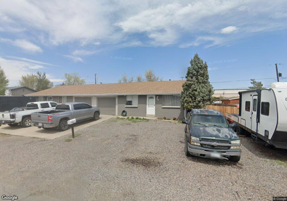
6203 W 53rd Ave Arvada, CO 80002
Estimated Value: $582,561 - $631,000
4
Beds
2
Baths
1,632
Sq Ft
$372/Sq Ft
Est. Value
About This Home
This home is located at 6203 W 53rd Ave, Arvada, CO 80002 and is currently estimated at $606,640, approximately $371 per square foot. 6203 W 53rd Ave is a home located in Jefferson County with nearby schools including Swanson Elementary School, North Arvada Middle School, and Arvada High School.
Ownership History
Date
Name
Owned For
Owner Type
Purchase Details
Closed on
Feb 27, 2012
Sold by
Arrowhead Properties Llc
Bought by
Rodriguez Hector H and Alarcon Nancy Barron
Current Estimated Value
Home Financials for this Owner
Home Financials are based on the most recent Mortgage that was taken out on this home.
Original Mortgage
$168,875
Outstanding Balance
$113,938
Interest Rate
3.5%
Mortgage Type
FHA
Estimated Equity
$492,702
Purchase Details
Closed on
Jan 10, 2011
Sold by
Broszat Gertrude M
Bought by
Arrowhead Properties Llc
Create a Home Valuation Report for This Property
The Home Valuation Report is an in-depth analysis detailing your home's value as well as a comparison with similar homes in the area
Home Values in the Area
Average Home Value in this Area
Purchase History
| Date | Buyer | Sale Price | Title Company |
|---|---|---|---|
| Rodriguez Hector H | $175,000 | Heritage Title | |
| Arrowhead Properties Llc | $60,000 | Heritage Title |
Source: Public Records
Mortgage History
| Date | Status | Borrower | Loan Amount |
|---|---|---|---|
| Open | Rodriguez Hector H | $168,875 |
Source: Public Records
Tax History Compared to Growth
Tax History
| Year | Tax Paid | Tax Assessment Tax Assessment Total Assessment is a certain percentage of the fair market value that is determined by local assessors to be the total taxable value of land and additions on the property. | Land | Improvement |
|---|---|---|---|---|
| 2024 | $3,681 | $37,609 | $13,600 | $24,009 |
| 2023 | $3,681 | $37,609 | $13,600 | $24,009 |
| 2022 | $2,898 | $29,368 | $9,848 | $19,520 |
| 2021 | $2,997 | $30,879 | $10,355 | $20,524 |
| 2020 | $2,718 | $27,977 | $9,180 | $18,797 |
| 2019 | $2,678 | $27,977 | $9,180 | $18,797 |
| 2018 | $2,473 | $25,033 | $6,526 | $18,507 |
| 2017 | $2,262 | $25,033 | $6,526 | $18,507 |
| 2016 | $1,895 | $19,662 | $5,788 | $13,874 |
| 2015 | $1,595 | $19,662 | $5,788 | $13,874 |
| 2014 | $1,595 | $15,495 | $4,900 | $10,595 |
Source: Public Records
Map
Nearby Homes
- 6247 W 53rd Ave
- 5513 Newland Way
- 6700 W 55th Ave
- 5250 W 53rd Ave Unit 125
- 5250 W 53rd Ave Unit 116
- 6801 W 52nd Ave
- 6105 W 49th Place
- 4963 Harlan St
- 5525 Pierce Ct
- 6933 W 52nd Place
- 6890 W 55th Place
- 6855 Reno Dr
- 4880 Ingalls St
- 4860 N Harlan St
- 5465 Reed Ct
- 5465 Saulsbury Ct
- 5495 Saulsbury Ct
- 4860 Depew St
- 4877 Chase St
- 7011 Grandview Ave
- 6197 W 53rd Ave
- 6197 W 53rd Ave Unit D
- 6213 W 53rd Ave
- 6191 W 53rd Ave
- 6225 W 53rd Ave
- 5285 Ingalls St
- 6151 W 53rd Ave
- 5275 Ingalls St
- 6235 W 53rd Ave
- 6310 W 53rd Ave
- 6103 W 53rd Ave
- 5265 Ingalls St
- 5255 Ingalls St
- 6320 W 53rd Ave
- 5280 Ingalls St
- 5270 Ingalls St
- 5245 Ingalls St
- 5250 Ingalls St
- 6330 W 53rd Ave
- 5235 Ingalls St