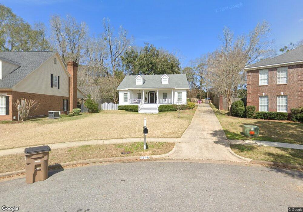
6204 Brandy Run Rd N Mobile, AL 36608
Westhill NeighborhoodEstimated Value: $417,678 - $482,000
4
Beds
4
Baths
3,003
Sq Ft
$148/Sq Ft
Est. Value
About This Home
This home is located at 6204 Brandy Run Rd N, Mobile, AL 36608 and is currently estimated at $443,420, approximately $147 per square foot. 6204 Brandy Run Rd N is a home located in Mobile County with nearby schools including ER Dickson Elementary School, CL Scarborough Middle School, and Murphy High School.
Ownership History
Date
Name
Owned For
Owner Type
Purchase Details
Closed on
Jan 8, 2021
Sold by
Stuart Leslie Harold and Stuart Joanne S
Bought by
England Tyler Anthony and England Jenna Deffenbaugh
Current Estimated Value
Home Financials for this Owner
Home Financials are based on the most recent Mortgage that was taken out on this home.
Original Mortgage
$271,600
Outstanding Balance
$240,689
Interest Rate
2.7%
Mortgage Type
New Conventional
Estimated Equity
$202,731
Create a Home Valuation Report for This Property
The Home Valuation Report is an in-depth analysis detailing your home's value as well as a comparison with similar homes in the area
Home Values in the Area
Average Home Value in this Area
Purchase History
| Date | Buyer | Sale Price | Title Company |
|---|---|---|---|
| England Tyler Anthony | $340,000 | None Available |
Source: Public Records
Mortgage History
| Date | Status | Borrower | Loan Amount |
|---|---|---|---|
| Open | England Tyler Anthony | $271,600 |
Source: Public Records
Tax History
| Year | Tax Paid | Tax Assessment Tax Assessment Total Assessment is a certain percentage of the fair market value that is determined by local assessors to be the total taxable value of land and additions on the property. | Land | Improvement |
|---|---|---|---|---|
| 2025 | $2,342 | $37,770 | $5,250 | $32,520 |
| 2024 | $2,342 | $36,710 | $5,250 | $31,460 |
| 2023 | $2,196 | $34,390 | $5,250 | $29,140 |
| 2022 | $4,346 | $34,220 | $5,250 | $28,970 |
| 2021 | $1,329 | $24,030 | $5,250 | $18,780 |
| 2020 | $1,359 | $24,540 | $5,250 | $19,290 |
| 2019 | $1,327 | $23,980 | $5,250 | $18,730 |
| 2018 | $1,340 | $24,220 | $0 | $0 |
| 2017 | $1,312 | $23,740 | $0 | $0 |
| 2016 | $1,326 | $23,980 | $0 | $0 |
| 2013 | $1,237 | $21,840 | $0 | $0 |
Source: Public Records
Map
Nearby Homes
- 305 Trent Mill Ct
- 6107 Venetian Way N
- 6052 Magnolia Place E
- 6105 Brandy Run Rd S
- 6069 Brandy Run Rd S
- 6012 Sussex Dr
- 6071 Highland Cir N
- 6352 Burnham Wood Place
- 213 East Dr
- 6401 Cedar Bend Ct Unit 10
- 6405 Willow Brook Run E
- 258 Suffolk Rd
- 609 Burlington Ct
- 606 Willow Brook Run E
- 6474 D Cedar Bend Ct
- 6533 Cedar Bend Ct Unit A
- 4776 Falls Church Rd
- 7260 Old Shell Rd
- 4700 Bit & Spur Rd
- 120 Barbara Mitchell Dr E
- 6200 Brandy Run Rd N
- 6208 Brandy Run Rd N
- 6201 Brandy Run Rd N
- 6216 Brandy Run Rd N
- 6148 Venetian Way N
- 251 West Dr
- 6153 Venetian Way S
- 6144 Venetian Way N
- 6149 Venetian Way S
- 264 West Dr
- 6205 Brandy Run Rd N
- 6220 Brandy Run Rd N
- 6209 Brandy Run Rd N
- 6140 Venetian Way N
- 6145 Venetian Way S
- 6217 Brandy Run Rd N
- 6135 Venetian Way N
- 6136 Venetian Way N
- 6424 Brandy Run Rd N
- 6221 Brandy Run Rd N
Your Personal Tour Guide
Ask me questions while you tour the home.