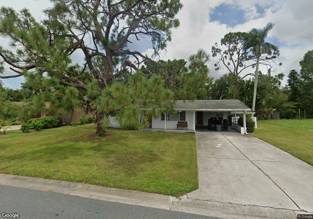
6204 Saint Andrews Cir N Fort Myers, FL 33919
Whiskey Creek NeighborhoodEstimated Value: $257,927 - $369,000
2
Beds
1
Bath
1,289
Sq Ft
$240/Sq Ft
Est. Value
About This Home
This home is located at 6204 Saint Andrews Cir N, Fort Myers, FL 33919 and is currently estimated at $309,982, approximately $240 per square foot. 6204 Saint Andrews Cir N is a home located in Lee County with nearby schools including Orangewood Elementary School, Allen Park Elementary School, and Edison Park Creative & Expressive Arts School.
Ownership History
Date
Name
Owned For
Owner Type
Purchase Details
Closed on
Mar 25, 2014
Sold by
Stinchart Martha J
Bought by
The John & Ann Goodnight Family Revocabl
Current Estimated Value
Purchase Details
Closed on
Jun 29, 2013
Sold by
Stinehart Martha J and Crow Susan E
Bought by
Stinehart Martha J
Purchase Details
Closed on
Feb 23, 1999
Sold by
Goodnight Marilyn J
Bought by
Goodnight Marilyn J
Create a Home Valuation Report for This Property
The Home Valuation Report is an in-depth analysis detailing your home's value as well as a comparison with similar homes in the area
Home Values in the Area
Average Home Value in this Area
Purchase History
| Date | Buyer | Sale Price | Title Company |
|---|---|---|---|
| The John & Ann Goodnight Family Revocabl | $72,000 | None Available | |
| Stinehart Martha J | -- | Attorney | |
| Goodnight Marilyn J | -- | -- |
Source: Public Records
Tax History Compared to Growth
Tax History
| Year | Tax Paid | Tax Assessment Tax Assessment Total Assessment is a certain percentage of the fair market value that is determined by local assessors to be the total taxable value of land and additions on the property. | Land | Improvement |
|---|---|---|---|---|
| 2025 | $2,757 | $229,015 | -- | -- |
| 2024 | $2,983 | $222,561 | $123,480 | $99,081 |
| 2023 | $2,983 | $188,081 | $0 | $0 |
| 2022 | $2,787 | $170,983 | $0 | $0 |
| 2021 | $2,432 | $156,040 | $50,000 | $106,040 |
| 2020 | $2,258 | $141,308 | $50,000 | $91,308 |
| 2019 | $2,105 | $130,010 | $50,000 | $80,010 |
| 2018 | $2,082 | $130,010 | $50,000 | $80,010 |
| 2017 | $2,030 | $130,818 | $34,500 | $96,318 |
| 2016 | $1,891 | $118,787 | $34,500 | $84,287 |
| 2015 | $1,652 | $91,701 | $32,000 | $59,701 |
| 2014 | -- | $79,996 | $17,000 | $62,996 |
| 2013 | -- | $72,194 | $12,000 | $60,194 |
Source: Public Records
Map
Nearby Homes
- 5034 Westminster Dr
- 1420 Mandel Rd
- 19 Winewood Ct
- 1358 Hopedale Dr
- 20 Catalpa Ct
- 6011 Fountain Way
- 8327 Riviera Ave
- 1442 Byron Rd
- 1221 La Faunce Way
- 1427 Davis Dr
- 1212 Twin Palm Dr
- 1250 Kasamada Dr
- 6005 W Riverside Dr
- 8451 Casa Del Rio Ln
- 1348 Woodmere Ln
- 1515 Manchester Blvd
- 1563 Covington Cir E
- 5216 Cedarbend Dr Unit 3
- 1457 Byron Rd
- 8531 Yorkshire Ln
- 6206 Saint Andrews Cir N
- 6244 Saint Andrews Cir N
- 6242 Saint Andrews Cir N
- 6246 Saint Andrews Cir N
- 6208 Saint Andrews Cir N
- 6203 Saint Andrews Cir N
- 1435 Argyle Dr
- 6205 Saint Andrews Cir N
- 6240 Saint Andrews Cir N
- 6302 Saint Andrews Cir S
- 6207 Saint Andrews Cir N
- 6210 Saint Andrews Cir N
- 6360 Saint Andrews Cir S
- 1431 Argyle Dr
- 6238 Saint Andrews Cir N
- 1434 Argyle Dr
- 6243 Saint Andrews Cir N
- 6247 Saint Andrews Cir N
- 1510 S Grove Ave
- 6209 Saint Andrews Cir N