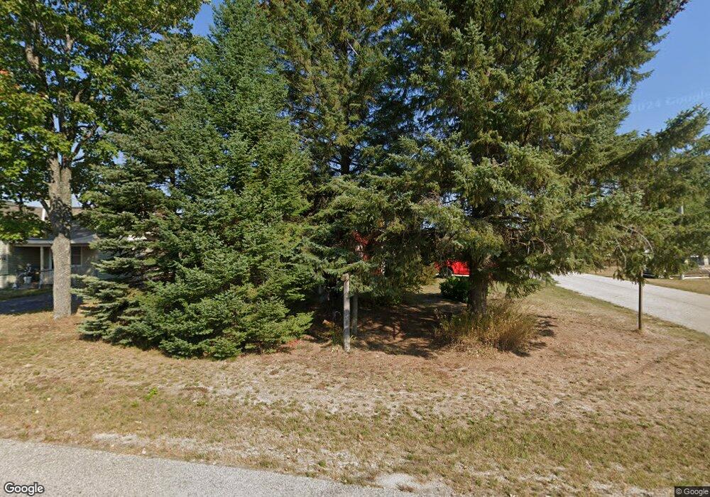
6205 Bogardus Pellston, MI 49769
Estimated Value: $144,994 - $194,000
--
Bed
--
Bath
--
Sq Ft
8,059
Sq Ft Lot
About This Home
This home is located at 6205 Bogardus, Pellston, MI 49769 and is currently estimated at $175,665. 6205 Bogardus is a home located in Emmet County with nearby schools including Pellston Elementary School and Pellston Middle/High School.
Ownership History
Date
Name
Owned For
Owner Type
Purchase Details
Closed on
Jan 30, 2023
Sold by
Gabel Jeremy
Bought by
Gabel Tammy
Current Estimated Value
Purchase Details
Closed on
Apr 7, 2022
Sold by
Duraw Romayne and Romayne Duraw Trust
Bought by
Gabel Jeremy John and Gabel Tammy Lee
Purchase Details
Closed on
Oct 15, 2007
Sold by
Dupraw Romayne
Bought by
Dupraw Romayne and Romayne Dupraw Trust Dated Oct
Purchase Details
Closed on
Oct 28, 2005
Bought by
Dupraw Romayne
Purchase Details
Closed on
Mar 30, 2003
Sold by
Svedek Linda and Turbin Harry Trust
Bought by
Turbin Harry Trust and Turbin Virginia
Create a Home Valuation Report for This Property
The Home Valuation Report is an in-depth analysis detailing your home's value as well as a comparison with similar homes in the area
Home Values in the Area
Average Home Value in this Area
Purchase History
| Date | Buyer | Sale Price | Title Company |
|---|---|---|---|
| Gabel Tammy | -- | -- | |
| Gabel Jeremy John | $40,000 | -- | |
| Dupraw Romayne | -- | -- | |
| Dupraw Romayne | $65,000 | -- | |
| Turbin Harry Trust | -- | -- |
Source: Public Records
Tax History Compared to Growth
Tax History
| Year | Tax Paid | Tax Assessment Tax Assessment Total Assessment is a certain percentage of the fair market value that is determined by local assessors to be the total taxable value of land and additions on the property. | Land | Improvement |
|---|---|---|---|---|
| 2025 | $2,455 | $56,800 | $56,800 | $0 |
| 2024 | $2,455 | $51,200 | $51,200 | $0 |
| 2023 | $770 | $47,300 | $47,300 | $0 |
| 2022 | $770 | $43,100 | $43,100 | $0 |
| 2021 | $800 | $40,700 | $40,700 | $0 |
| 2020 | $803 | $39,200 | $39,200 | $0 |
| 2019 | -- | $34,300 | $34,300 | $0 |
| 2018 | -- | $31,100 | $31,100 | $0 |
| 2017 | -- | $30,900 | $30,900 | $0 |
| 2016 | -- | $29,200 | $29,200 | $0 |
| 2015 | -- | $29,200 | $0 | $0 |
| 2014 | -- | $20,900 | $0 | $0 |
Source: Public Records
Map
Nearby Homes
- 6457 State St
- 000 Vacant U S 31
- 6421 Airport Crossing Rd Unit 1
- 6672 Industrial Dr
- 0 Reed Rd Unit 474270
- TBD Teal Rd
- 9470 Silver Strand Rd
- 9670 Silver Strand Rd
- 4333 U S 31
- 9485 Ingleside Rd
- 3016 W Burt Lake Rd
- 10999 Koepke Rd
- 10222 W Munro Lake Dr
- 5100 N Bay Way
- 5383 N Conway Rd
- 1975 &1995 Club House Dr
- 1975 + 1995 Club House Dr
- 6430 Admirals Point Dr
- 6167 Lambert Dr
- 4310 E Burt Lake Rd